Beach Hike 2014
by Mike Thompson, 9/10/2014
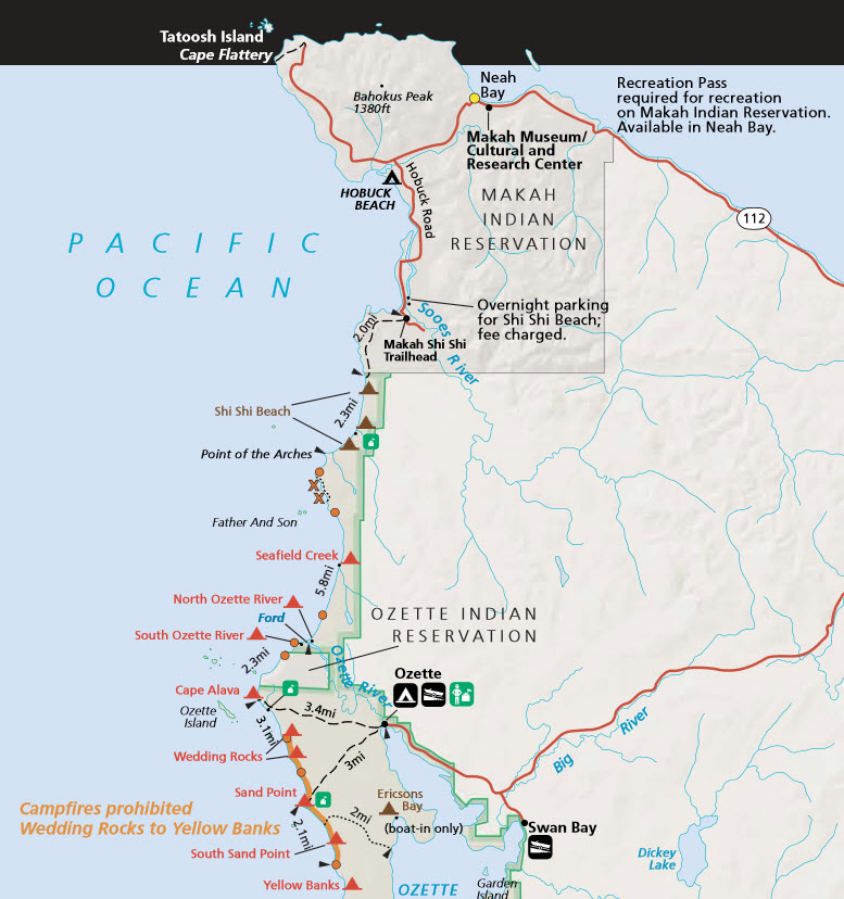
On Friday, 9/5/2014 Peter Roslander and I caught the 8:00 AM ferry from Edmonds to Kingston, then drove out to the Olympic National Park Wilderness Information Center in Port Angeles. There we exchanged our confirmation letter for a hiking permit and picked up two bear cans to store our food in. Then we drove west, left my Metro at the south end of the route, and drove Peter's car to the north end, on the Makah Indian Reservation at Neah Bay. From there we hiked in to Shi Shi Beach, arriving about 6:00 PM in time to pitch the tent, have dinner, and watch a beautiful sunset.
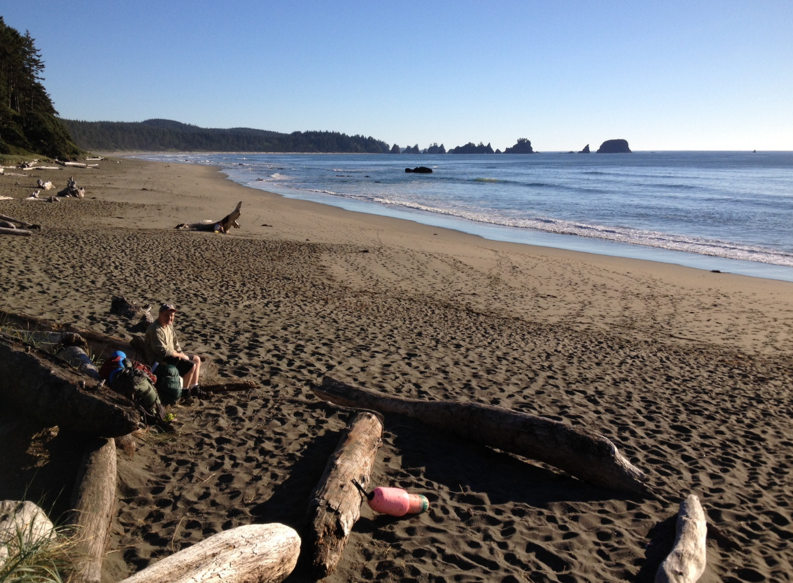
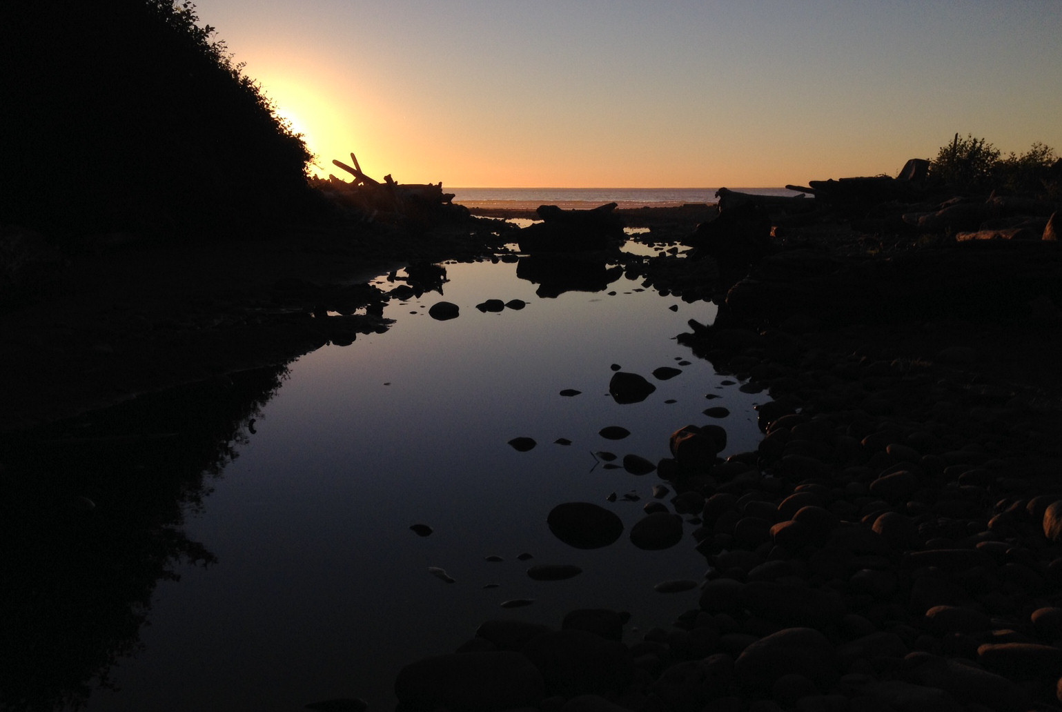
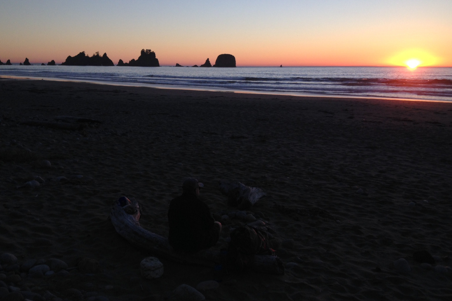
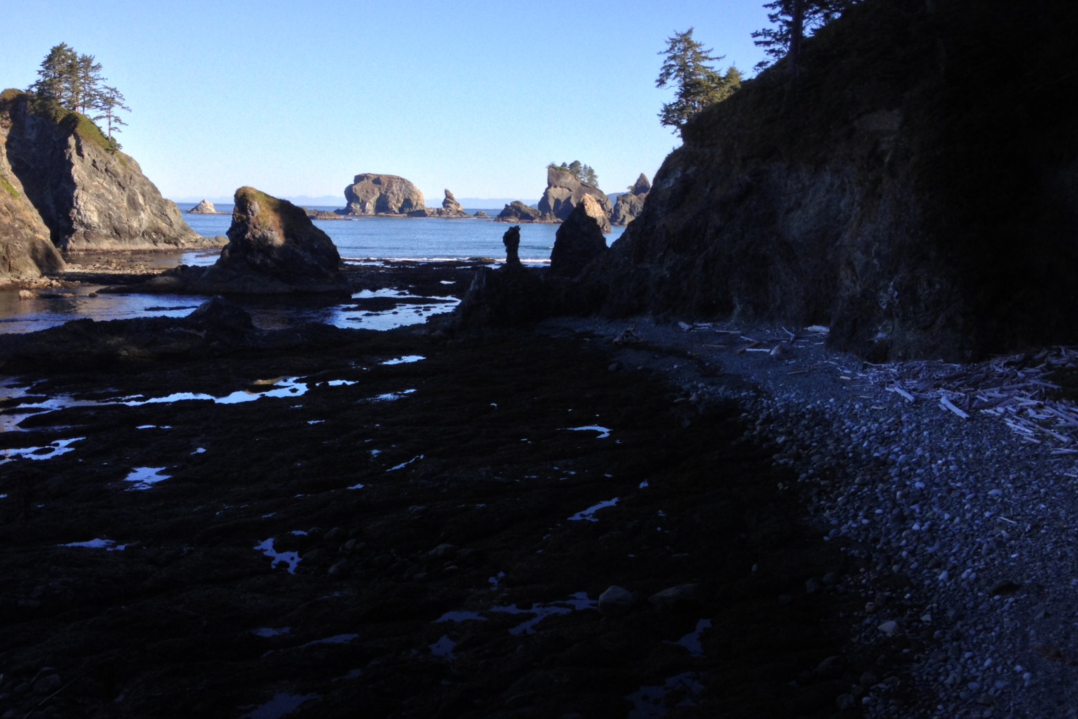
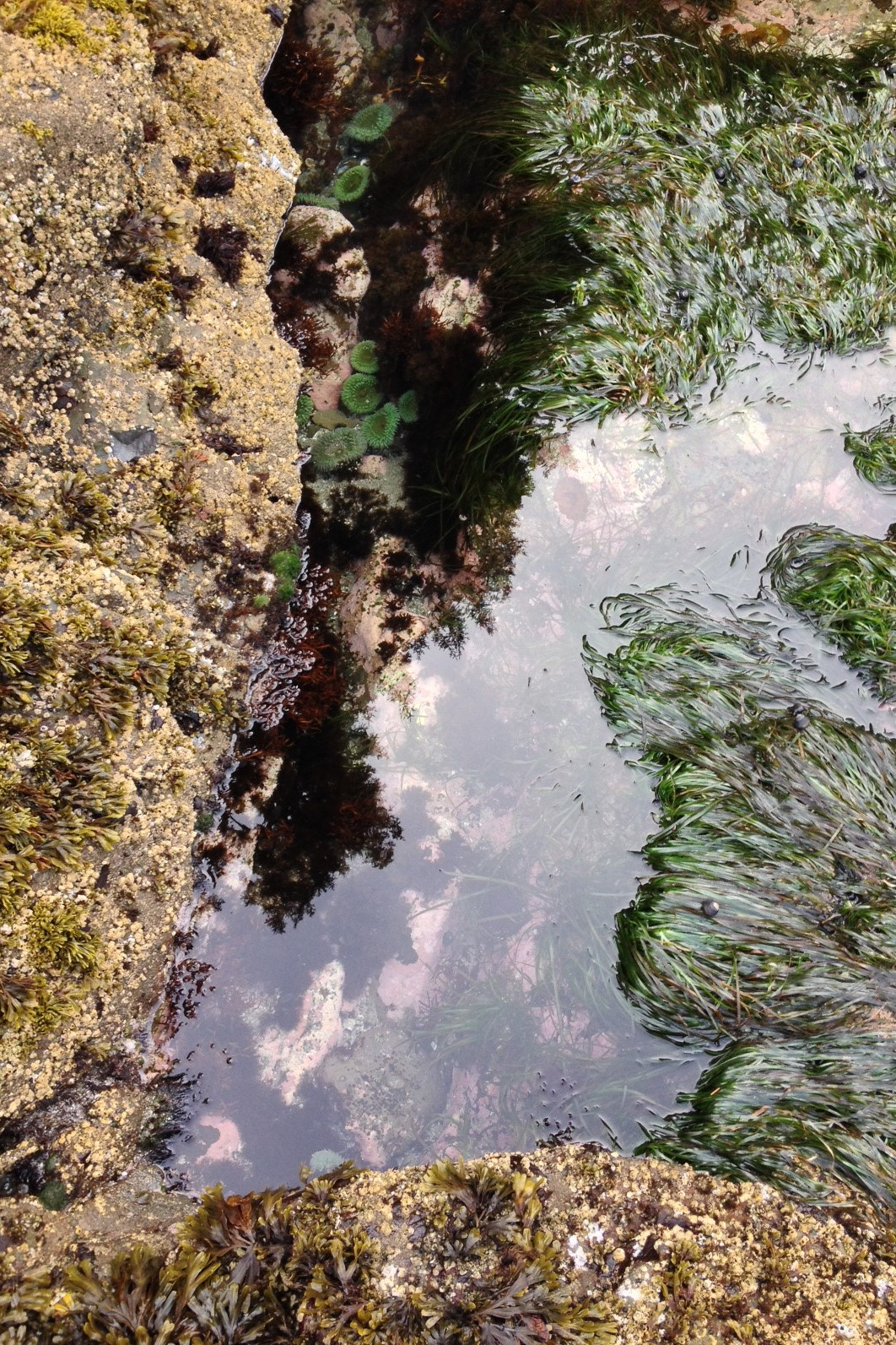
We were up at sunrise on Saturday, had breakfast, packed the gear, and hiked the rest of the way down Shi Shi beach to Point of Arches. Around the point we stepped "into the Lost World. Tentacles of giant bull kelp were strewed everywhere like the bodies of monsters from the deep, the high-tide line marked by lengths of driftwood a hundred feet long with boles thicker than I am tall. Occasionally we would stumble across a stretch of beach blanketed in seaweed — rubbery piles of green, yellow and red. Eel grass and anemones swayed in the pools that the tide had left behind while purple, yellow and bright red sea stars clung to the rocks." (From "Hiking to the Edge of the Lower 48", an account of this route written by Ethan Todras-Whitehill and published in The New York Times on July 13, 2012.)
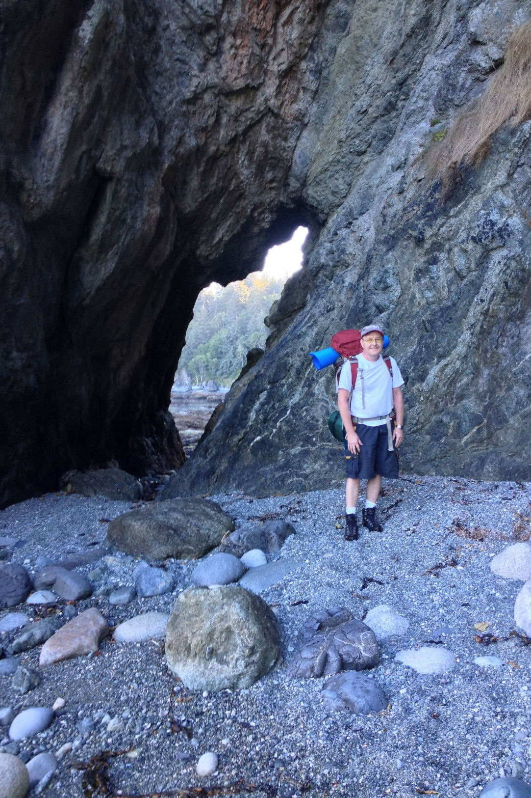
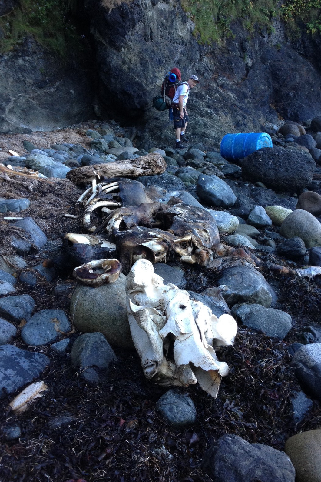
Having watched whales spouting from Shi Shi Beach the evening before, in one of the small coves we came across the remains of a whale of about 20 feet in length, mostly decomposed.
We expected the trip to be a beach hike, but "beach climbing" is a better description for what we were doing much of the time. South of Shi Shi Beach the route consists of a series of small coves and rocky headlands. Rather than easy walking on compact sand, it's of a combination of soft sand and pea gravel, thick beds of seaweed pushed up by the high tide, beach logs, wet rocks at the water's edge made slippery by algae and seaweed, and boulders at the foot of the cliffs; all terrain that demands careful attention to balance when you're traveling with a full pack on your back. In addition, there are several sections that must be negotiated by climbing over headlands, which begin and end with steep sections climbed by using your hands and ropes fastened around tree trunks. We found the going to be slower and more strenuous that what we had been expecting.
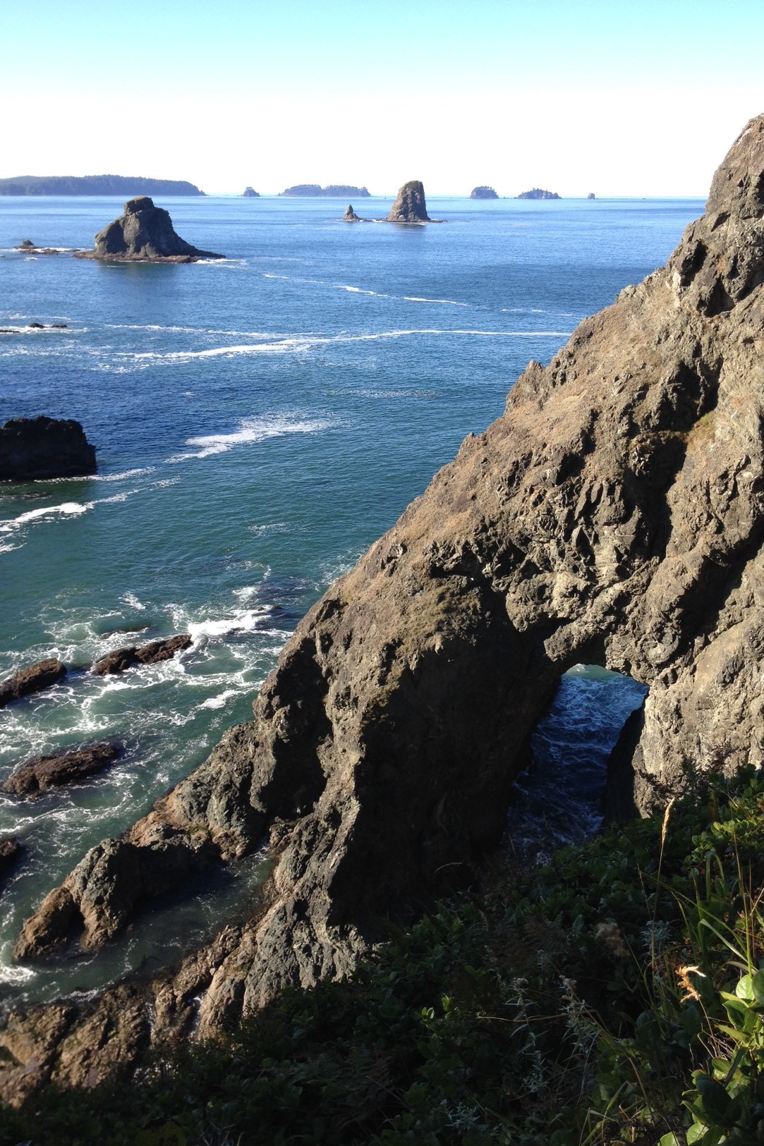
Descending from one of the steepest stretches of trail with the aid of a rope, we found our way blocked by high tide. So there we sat, perched on a rock at the top of a boulder field, from 11:30 AM until 3:00 PM on Saturday, while waiting for the water to drop far enough that we could continue. From that point we made our way south around three more headlands, to reach the north end of the rocky beach that led to the mouth of the Ozette River.
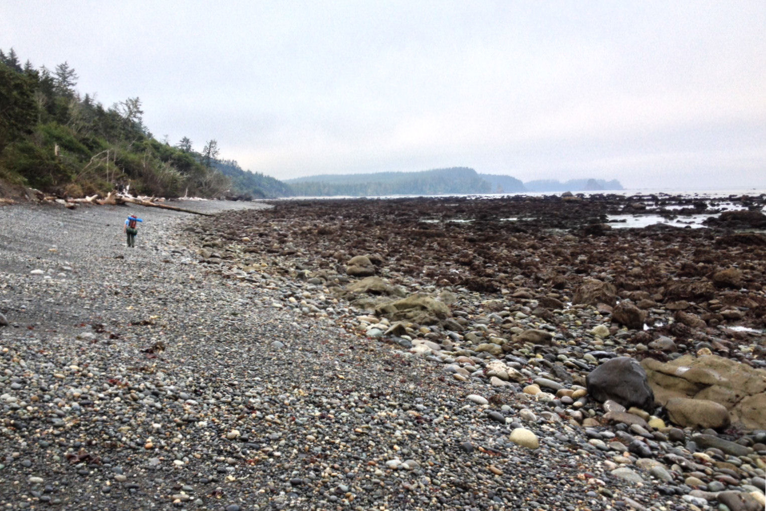
Now too late to make it to the Ozette River mouth in time for the evening low tide, we set up camp for the night at Seafield Creek, where we found water for the first time since leaving Shi Shi Beach. This late in the season, water availability is something to pay close attention to.
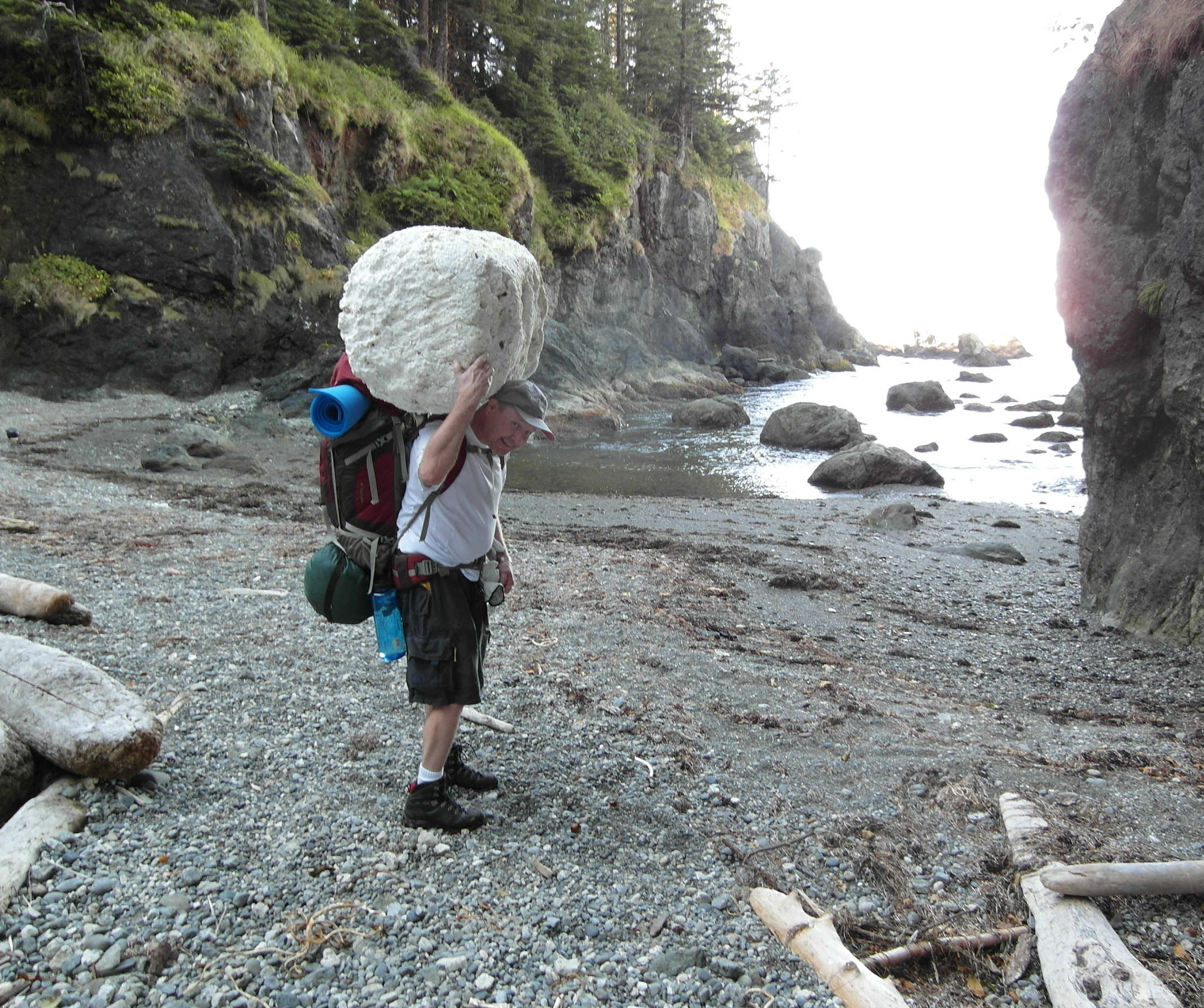
There are lots of fishing floats around the high tide line, broken lose from nets and washed ashore by storms. I tried to persuade Peter to carry a really, really big styrofoam one back for me, but on second thought he declined.
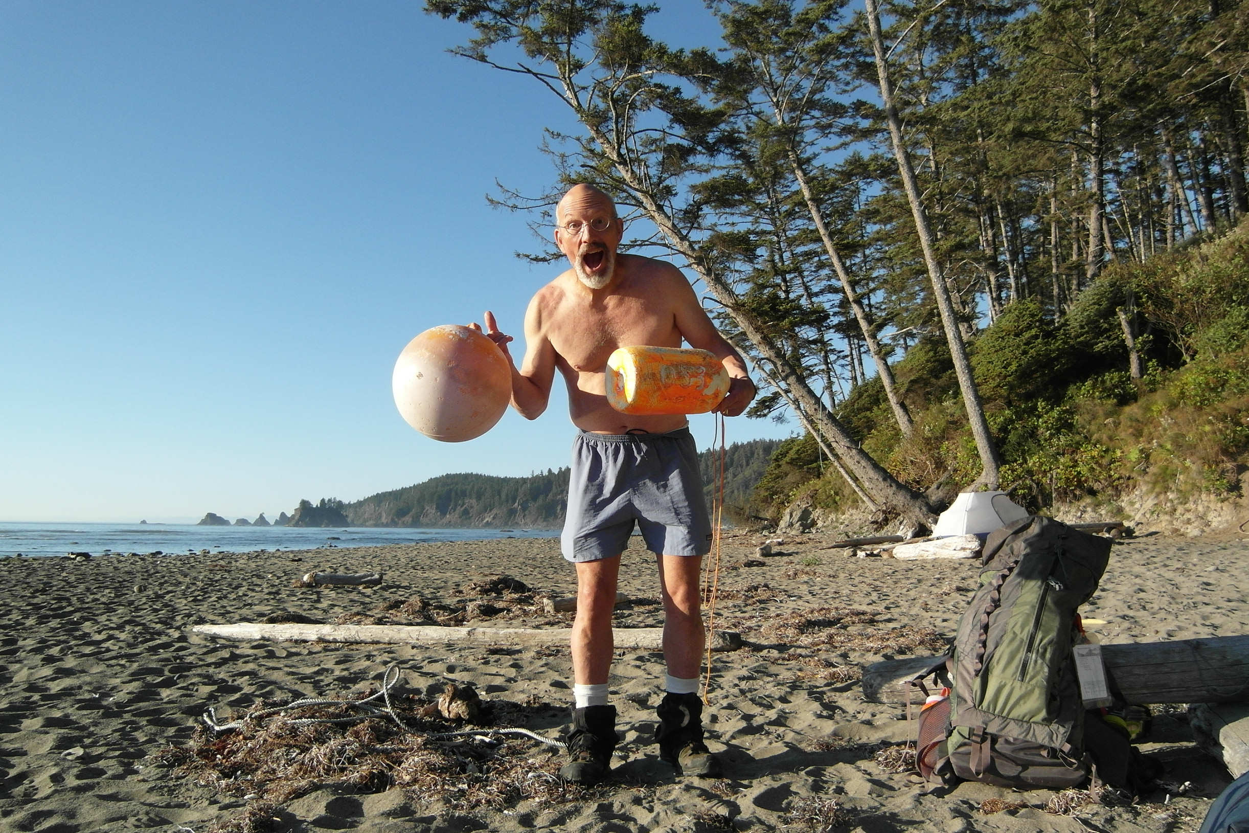
I saw a couple floats on our way to Seafield Creek that I just couldn't leave behind, so I brought them home to decorate the back yard with. Free, slighly-used fishing floats that you just need to carry on your back for several miles. Who in their right mind would pass up such a great deal?!?
We rose Sunday morning and hiked the rest of the way to the Ozette River mouth, which we crossed easily at 8:00 AM, just after low tide. Even with the river's flow being so low at this time of year, you would still need to catch it at low tide because of the steep cliffs that are just to its south. We hiked around a couple more headlands and then were on sand the rest of the way to Cape Alava.
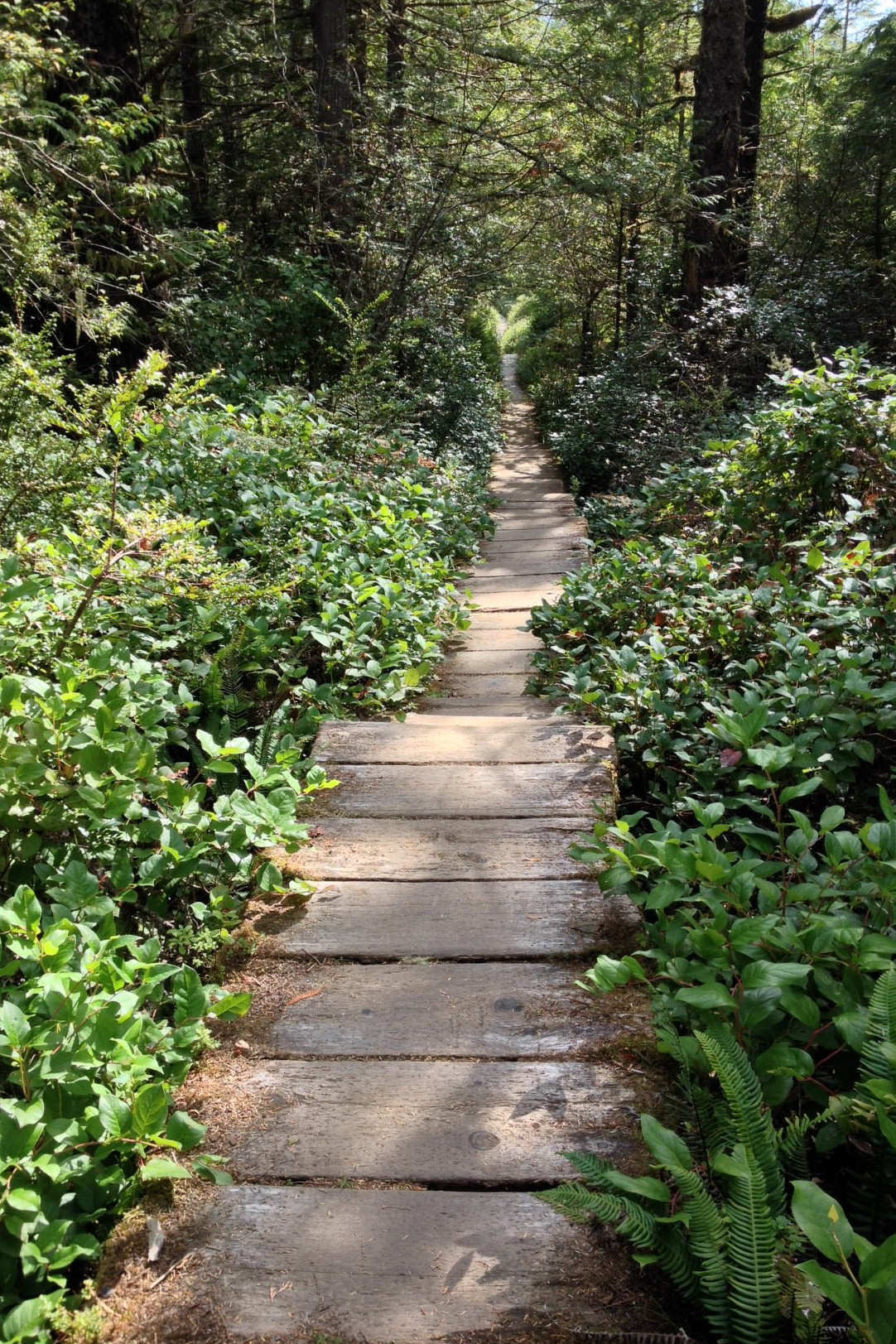
The three miles east from Cape Alava to the ranger station at Lake Ozette is easy walking. Passing through flat forest land, most of the way is an elevated boardwalk of thick cedar planks. If not for the great care taken in building this well-used trail, it would be muddy in any season.
Now some notes on safety, timing, and logistics.
You need to be very aware of what the tide will be doing during your trip: when the high and low tides will be, and how high/low they'll be in feet. There are many headlands that are not passable around high tide, and many coves with no place to retreat should you get stuck in them when the tide is rising. Not to be melodramatic, if but you're not aware of the tides and the clock, you can drown out here.
Late in the summer drinking water is scarce. We found fresh water in just three places: at a creek about 2/3 of the way down Shi Shi Beach, at Seafield Creek, and at the Ozette River. The Ozette River channel is deep, and at high tide salt water intrudes well upstream, so you may need to wade quite a ways up the Ozette River before you'll find water that isn't brackish. Peter and I both carried two water bottles on the trip. Next time I do it, if it's this late in the summer, I'll carry three.
You'll need low water to get from Point of Arches to the north end of the beach that extends south to Seafield Creek and the Ozette River. From the Ozette River you'll need another, shorter stretch of low water to get around a couple headlands and to the beach that leads to Cape Alava. On Saturday, 9/6, there was a -0.5 foot low tide at 5:00 AM, and a +7.0 foot high tide at 11:00 AM. Leaving Shi Shi Beach and passing Point of Arches at about 8:00 AM, we fell about an hour and a half short of making it. Instead, we got stuck three headlands short of reaching the beach that led to the Ozette River, thus ended up having to spend the night at Seafield Creek rather than at Cape Alava or Sand Point. If we had started walking right at first light and moved faster, or if the low tide had occurred later in the morning, we might have made it all the way to Cape Alava or Sand Point in one day. Be aware that doing that stretch in a single day requires the right tides, and moving pretty quickly over very uneven ground.
The next time I go I'd like to do just the opposite: take two days to get from Shi Shi Beach to Seafield Creek, and spend one night holed up in a little cove between two headlands, enjoying being "stuck" in an intertidal wonderland while reading a good book. Why hurry - this stretch of coastline is magical like none I've ever seen before!
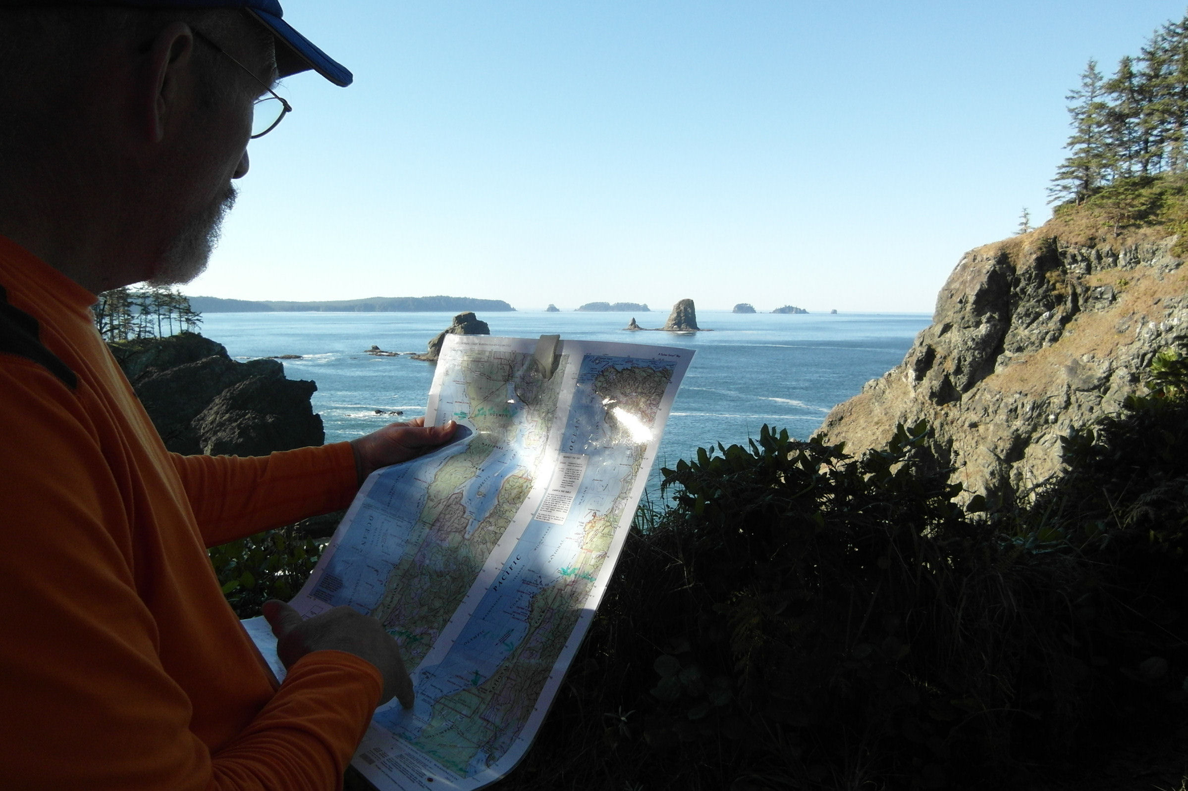
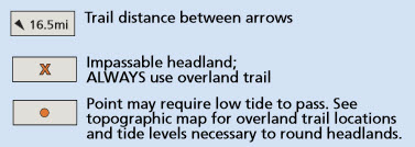
From the map key...
Info on hiking permits can be found at: http://www.nps.gov/olym/planyourvisit/wilderness-reservations.htm