Bumping Lake Country 2013
by Mike Thompson, 7/10/2013
Did a solo, one-way trip through some gorgeous country that lies between Highway 410 (the Chinook Pass highway) and Highway 12 (the White Pass highway), and between Bumping Lake and Rimrock Lake, about 30 miles west of Yakima and 30 miles east of Mt. Rainier. Stashed a bike at the trailhead on the south end at Cash Prairie on Bethel Ridge before I started the hike, then rode the bike back to my car at the trailhead on the north end over Jeep roads to complete the loop.
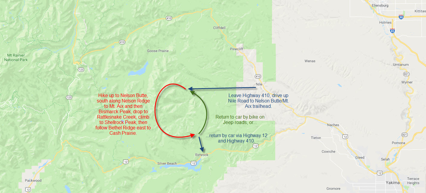
To get to the trailhead on the north end, take the Nile Road off of Highway 410, then Road 1502 to its end at about 4,500 feet. Begin the hiking on Trail 982, then follow Trail 973 (trails very faint in spots) up to the top of Nelson Ridge, just west of Nelson Butte, at 6,500 feet. After that it's all ridge walking (no trail) above 6,000 feet to the top of Mt. Aix (7,537 feet) and then Bismarck Peak (7,585 feet). Next you drop down past Rattlesnake Peaks all the way to Rattlesnake Creek at 4,000 feet, and then it's up the other side to the top of Bethel Ridge at Shellrock Peak (6,835 feet). Finally, hike east along Bethel Ridge to the trailhead at Cash Prairie (6,335 feet). For about 80% of this trip you're above 6,000 feet with wide-open views!
When I'm hiking I usually keep a log of locations and arrival times, which can be a great aid if you get lost and have to analyze where you've been to determine where you are, or if you need to retrace your steps. On this three-day backpacking trip above Bumping Lake and Rimrock Lake I recorded more details and thoughts than usual. Here's what I wrote, along with some pictures.
Thursday, 7/4/2013, 9:45 AM: It's day one of a three-day hike east of Mt. Rainier, taking in Nelson Butte, Mt. Aix, Bismarck Peak, and Shellrock Peak. Left the house this morning at 4:30 AM, drove east over Snoqualmie Pass to Yakima, then west on Highway 12 toward Rimrock Lake, and up the Bethel Ridge Road to Cash Prairie and the trailhead of Trail 1141, which leads west to Shellrock Peak. Stashed my bicycle and helmet behind some trees forty paces east of the end of the road, on the north side. Next comes the drive to the Nelson Butte trailhead off Highway 410, where the hiking will begin.
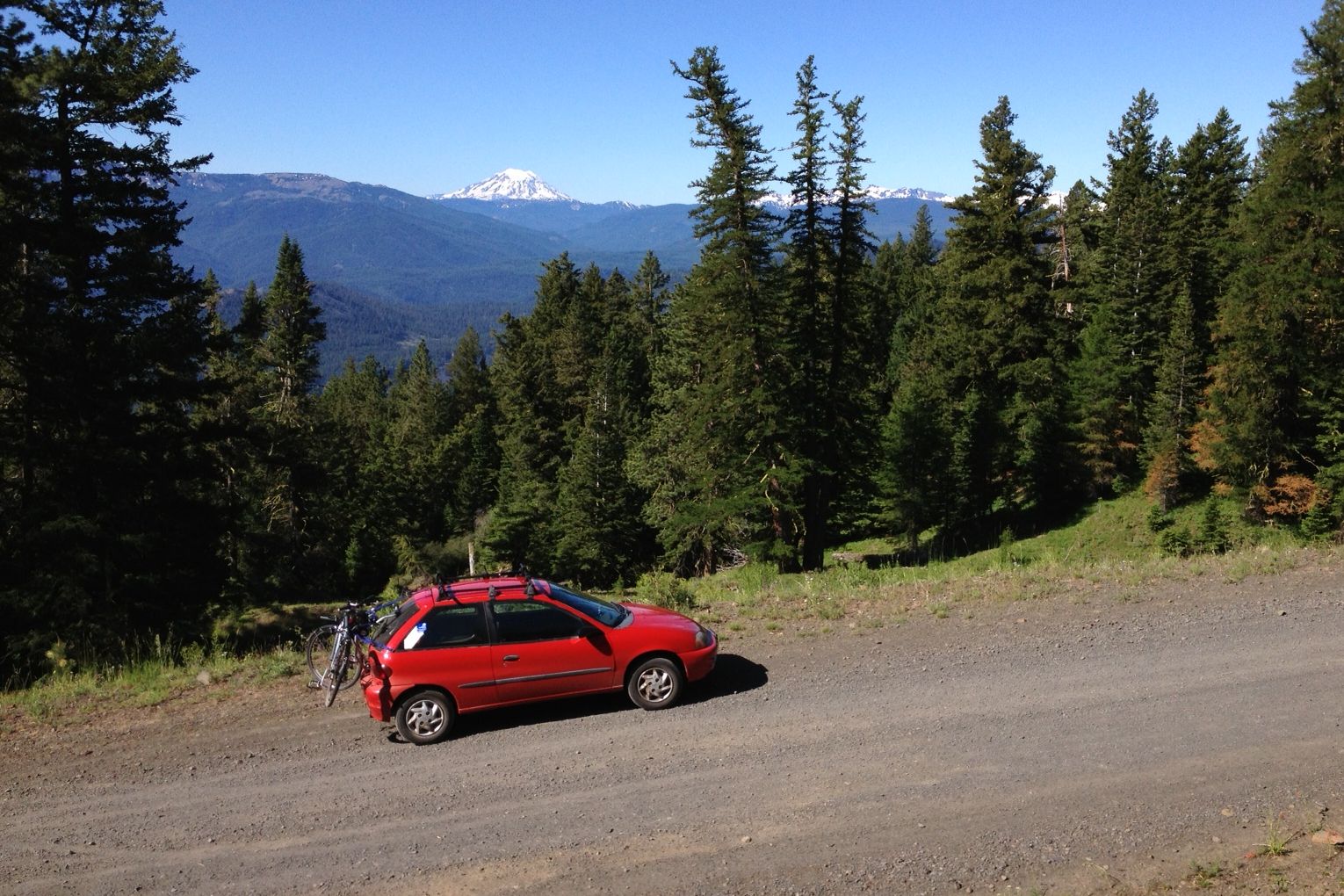
Some notes on mileage. It's 10 miles from Yakima to Naches, then another 7 miles to the "Y" where Highway 12 and Highway 410 meet. It's 17 miles from the "Y" to the bottom of Bethel Ridge Road, then 7 miles to the top of Bethel Ridge and 2 more miles west to the Trail 1141 trailhead. From the "Y" to where you turn off Highway 410 onto the Nile Road is 8 miles. Then it's 2 miles to the left turn onto what's marked as "Bethel Ridge Road". A couple miles farther is a road heading to the left (south) marked "Little Rattlesnake", which I'm guessing is the way up to the top of Bethel Ridge at Cash Prairie. 7 miles past there the pavement ends and a sign says that it's 4 more miles to McDaniel Lake, the way here marked "Road 1502". 4 miles past McDaniel Lake the road ends at the trailhead of Mt. Aix Trail #982.
The bike ride back to the car from Cash Prairie is going to be some work. First option would be 9 miles down to Highway 12, then 17 miles to the "Y", then 8 miles to the Nile Road, then 17 miles to the Mt. Aix trailhead: a total of 51 miles, 17 of them on gravel. The second option, coming down Bethel Ridge to the north on back roads, is less certain mileage-wise. Almost all of it would be on gravel. My best guestimate is about 20 miles to get down to the Little Rattlesnake sign, then about 10 miles to the Mt. Aix trailhead. The second option is looking like the better one to me at the moment, but that decision can wait for three more days.
Thursday, 7/4/2013, 3:30 PM: It's 3:30 PM and I'm where Trail 982 crosses Dog Creek. Stopped for breakfast in Naches and didn't start hiking until 2:00 PM, much later than planned. From here it's northwest on Trail 983 to the low point on the ridge just southwest of Nelson Butte. The uphill stuff will begin soon! I crossed over Dog Creek on a fallen log, but then realized that I've passed the point where Trail 983 forks off to the northwest. Re-crossed Dog Creek, backtracked 100 yards, and found the faint trail I had noticed earlier, which is Trail 983. It looks little used, and immediately was covered by dozens of trees blown down by some windstorm that came through here. Picked my way along, losing the trail and then re-finding it several times.
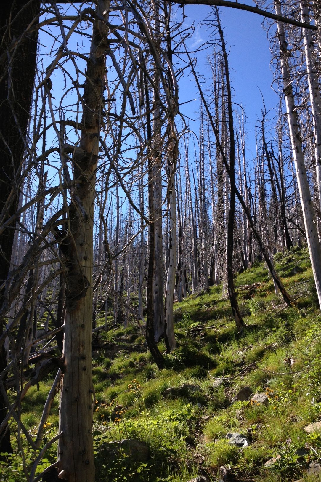
Stopped for water where the trail juts left to intercept a brook that runs straight down from the ridge. Found my way up along the left edge of a big, open meadow, and then through the middle of what I'm calling "The Silver Forest", a stand of Subalpine Fir that was killed by disease, insects, or fire (or one followed by another), which now stand bleached by the sun. Reached the low spot on the ridge below Nelson Butte at 6:15 PM. Turned southwest, made my way through the trees and below the top of the ridge, ascending to a spur that leads west to the ridge top. Reaching the ridge top at 7:15 PM I got the grand panorama: the Stewart Range to the north, Mt. Rainier to the west, and Mt. Aix to the south with Mt. Adams peeking over its shoulder. Majestic in all directions! Walked another 45 minutes before stopping for the night next to a small snowfield.
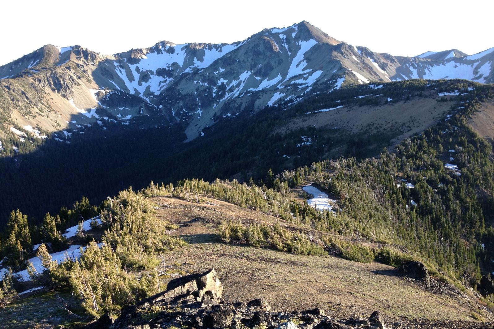
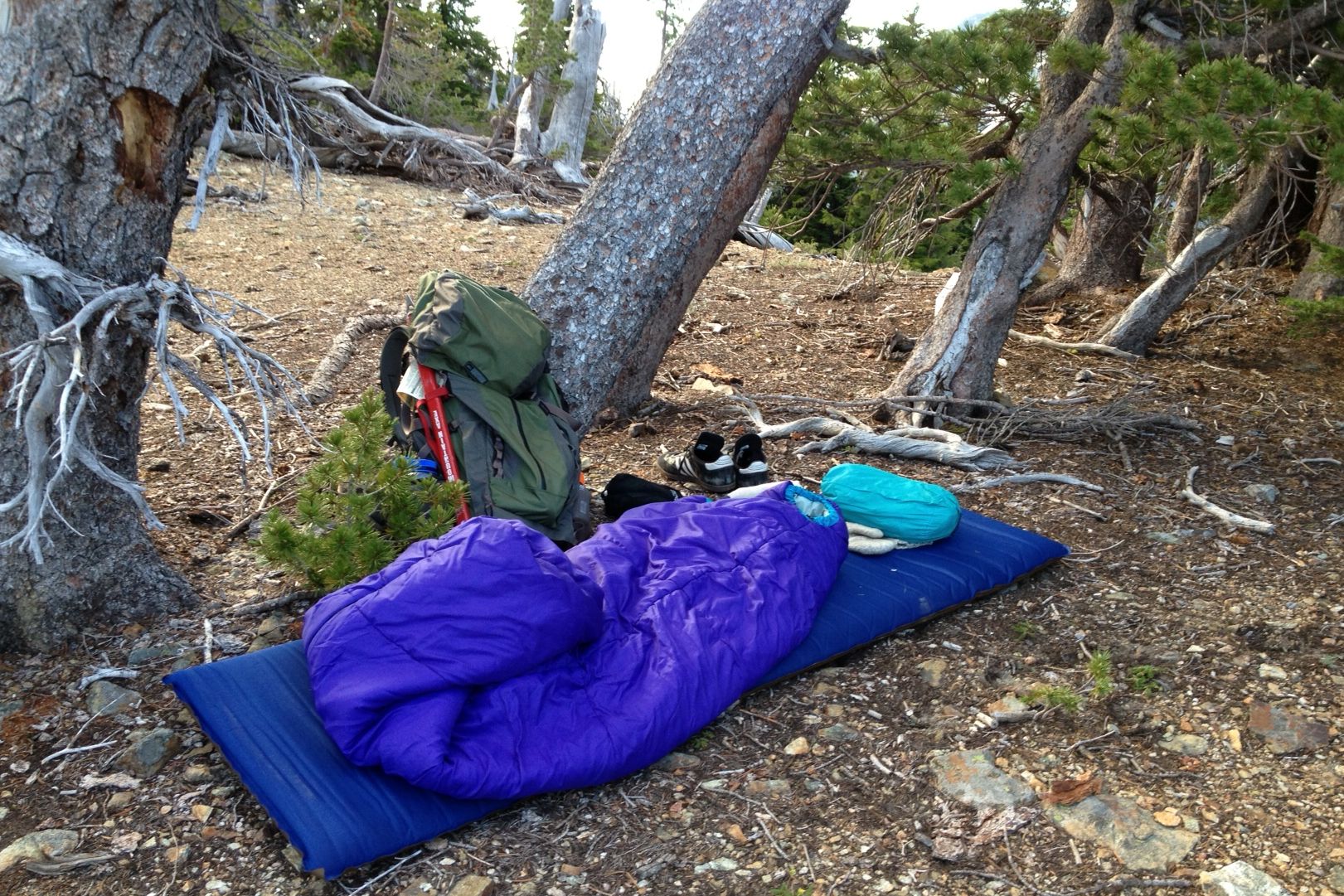
Friday, 7/5/2013, 8:00 AM: Slept well, just warm enough, and only woke a couple times long enough to enjoy the stars. Woke at 6:00 AM and started walking toward Mt. Aix at 6:30. Now it's 8:00, I've just had something to eat, and am about to begin ascending the north rib of Mt. Aix. There's not nearly enough snow to go up the northeast snowfield, as I did once ten or fifteen years ago. The hardest section of the north rib appears to be here at the bottom. If I can figure this next section out then the rest should be doable, as best I can tell from looking at it from a distance.
Friday, 7/5/2013, 10:00 AM: At the summit of Mt. Aix. Had one false start at the bottom that cost 30 minutes. I tried to go up and over a rock section just above the last of the vegetation but it turned into more rock climbing than I'm willing to do without a rope and a partner. Backtracked and traversed/climbed the scree on the east side of the north rib, then went up and over and ascended the rest of the way on the west side. Climbing scree is nobody's favorite thing to do. It's one step forward and a half step back, sort of like climbing a sand dune, but on broken, sharp-edged rock.
Beautiful weather and it's so gorgeous up here! Got some photos and put my name in the summit register. Now will descend from the summit and then head south toward Bismarck Peak along the ridge line.
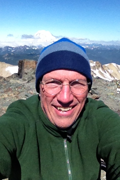
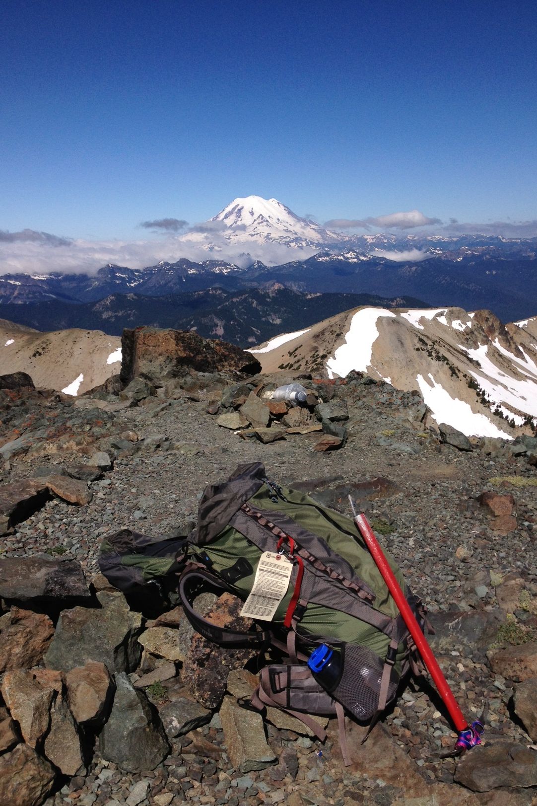
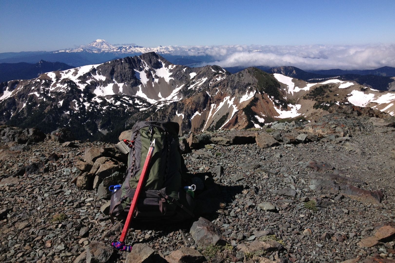
Friday, 7/5/2013, 1:30 PM: Stopped about half way between Mt. Aix and Bismarck Peak for lunch and a little rest. Lots of ground yet to cover today. Saw a small herd of seven or eight mountain goats but couldn't get the camera ready in time to get a picture of them before they disappeared.
Friday, 7/5/2013, 5:10 PM: At the summit of Bismarck Peak. Wow, that was a lot of work! Lots of up and down and backtracking to find a workable route, all on broken rock. Saw that herd of goats again just below the summit of Bismarck Peak. As I approached they went over the ridge and down the north face. It's truly amazing where mountain goats can go - I'd have to think real hard about trying to climb any of that, even with a rope and a partner with more rock climbing experience than I.
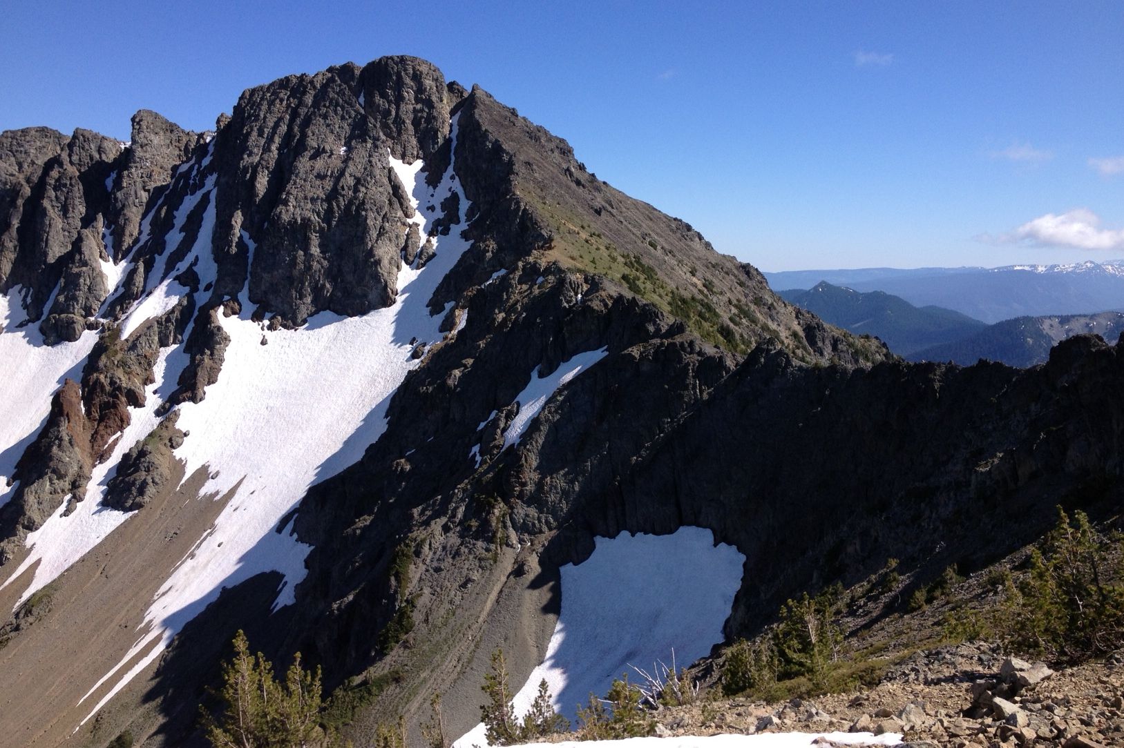
Saturday, 7/6/2013, 7:00 AM: Walked until it was too dark to see last night, at first hoping to be able to make Shellrock Peak, and failing that, to make it down to Rattlesnake Creek to get water, which has been in short supply all day. I came down the east ridge of Bismarck Peak, then swung around Rattlesnake Peaks to their east side, and then headed down (south) through the trees heading in the direction of Shellrock Peak, of which I was able to catch occasional glimpses.
The descent went on and on. Thankfully the forest floor was pretty open and it was easy to move through the trees. You would never be able to go cross-country like this in the forests west of the mountains - too much underbrush and too much big, fallen timber to crawl over/under. Shortly before 10:00 PM, with barely enough light to find the way, I could hear Rattlesnake Creek. But at this low elevation and so close to water there was a lot of underbrush and fallen timber, and progress slowed to a crawl. I did reach the creek, but only a slow-moving side channel that blocked the way. Without enough light to do any more (except possibly fall off a log and break a leg) I stopped where I stood at the base of a large tree, put the gear down, took off the sweaty clothes I'd made the descent in, and crawled under the sleeping bag. Actually slept great, except for waking a couple times to the sound of some little critter chewing or burrowing. Determined that it wasn't chewing its way through my backpack, then fell back asleep.
This morning's problem is crossing Rattlesnake Creek and finding the trail that the map says is on the other side. If I can do that, and the trail is in reasonable shape, then I can make my way up to Shellrock Peak, back to Cash Prairie along Bethel Ridge, recover the bike, and pedal to the car.
Saturday, 7/6/2013, 8:05 AM: Quickly found the main channel of Rattlesnake Creek and a log to cross it on. Then soon found the trail (such as it is - very faint and often blocked by fallen timber). Proceeded west until I reached a small tributary that flows in from the southwest. Is this the Little Wildcat? If so, I've gone a bit too far west. Turning around now (8:20 AM) to try to find Trail 1132, which leads up to Shellrock.
Saturday, 7/6/2013, 8:40 AM: Have reached a larger tributary flowing in from the southwest. Is this the Little Wildcat instead? I bet it is and cross it on a narrow log above a deep pool, a good spot not to take a fall. I go a little farther and come upon the western end of Strawberry Meadow, and then see smoke from a campfire. It's two backpackers who came down from Shellrock yesterday. They point to where Trail 1132 exits the meadow on its south edge. At 9:30 I'm on my way up the trail to Shellrock Peak.
Saturday, 7/6/2013, 11:45 AM: I'm where I think I should be looking straight up at the east face of Shellrock Peak, but it doesn't look right. There are too many trees along the ridge, and I can't see the distinctive dinosaur spine of basalt columns. Spooky to suddenly find myself in a strange place, when I felt so certain I knew right where I was. The trail, which has been quite good on the way up, has suddenly vanished. I'm unsure where I am. There may be more bushwhacking and compass navigation ahead before I make it to the top of Bethel Ridge.
Saturday, 7/6/2013, 12:45 PM: Re-found the trail, which continued to lead south and up, so I stayed with it. Now I'm at the real Shellrock Peak. I'm going to name that thing I saw an hour ago Little Faux Shellrock. I walked over to The Perfect Camping Spot and many great memories of being here with Jane, the girls, and Buddy the Wonder Dog came rushing back. This is a sacred spot, as far as I'm concerned.
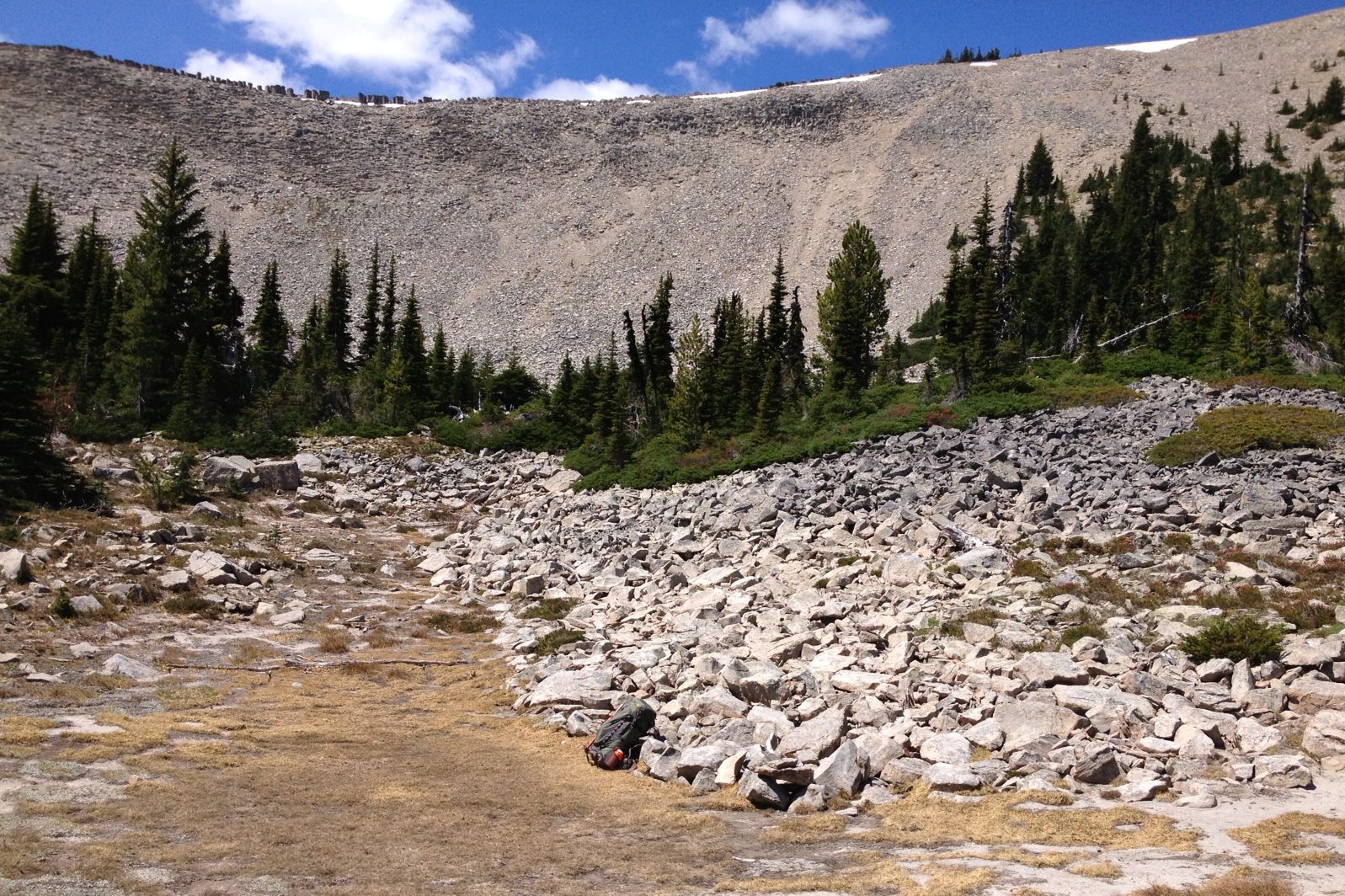
Laid out sox and clothes to dry in the hot sun, put my feet in the cool water of the pool that lies below the summit to give them a well-deserved reward, had a leisurely lunch, and refilled all three water bottles. Now I'll tuck everything back into the backpack and start walking along Bethel Ridge toward Cash Prairie. Should be on the trail again by 2:30 PM.
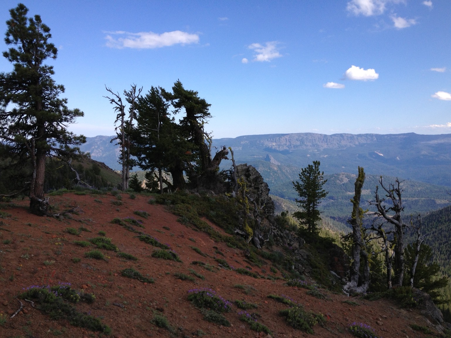
Saturday, 7/6/2013, 5:30 PM: Recovered the bicycle and started down toward the Nile. With lots of loose gravel on the road and with a big backpack on my back, I won't be screaming down the hill at breakneck speed.
Saturday, 7/6/2013, 7:30 PM: Got to the bottom, where the sign says, "McDaniel Lake - 4 Miles." This is better than I had hoped for - I'm now only 8 miles of gravel road from the car. However, this 8 miles is uphill, so there's still a fair bit of work to be done before dark.
Saturday, 7/6/2013, 9:50 PM: Yeah, that was a bit of work alright. Got to the car just as it was getting too dark to be able to see the road clearly enough to keep riding. The Mighty Metro is just as I left it at the trailhead on Thursday. I drive back toward Highway 410, pick up the big backpack where I had stashed it (used a little summit pack for the final 8 miles of the bike ride), and drove east toward Yakima. This adventure has come to a close.
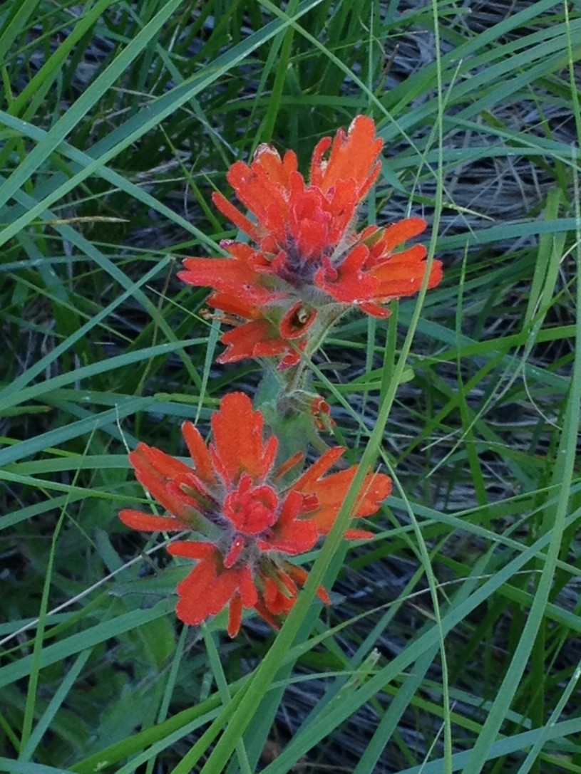
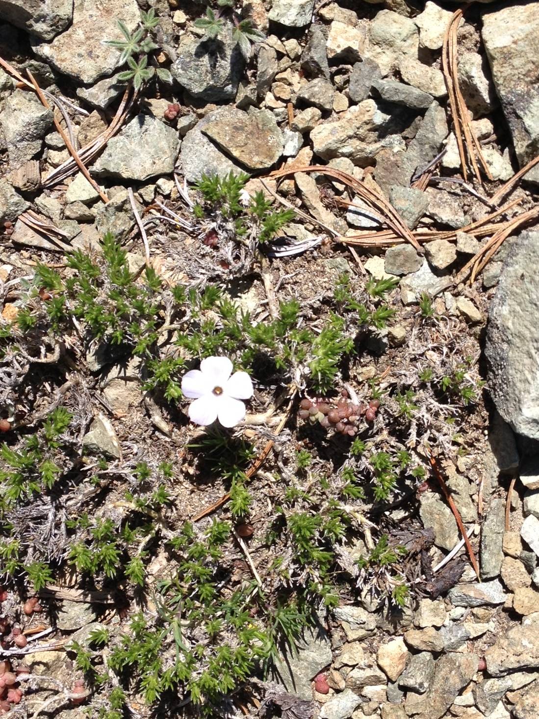
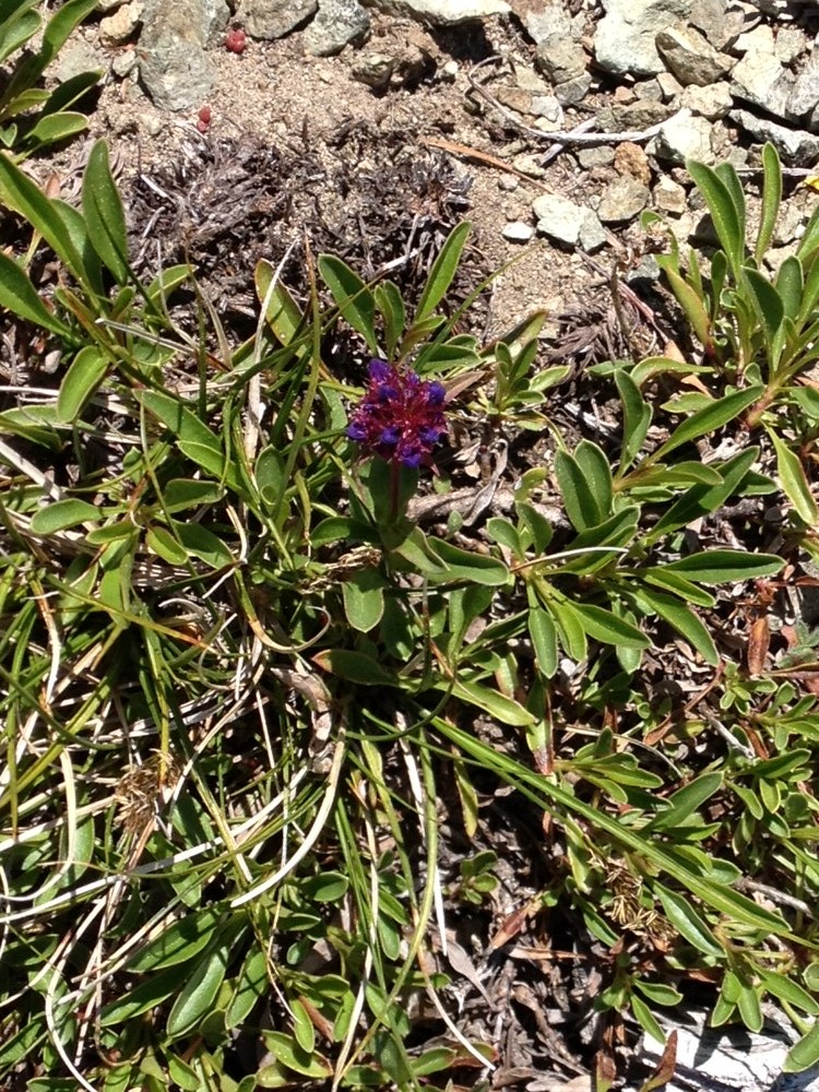
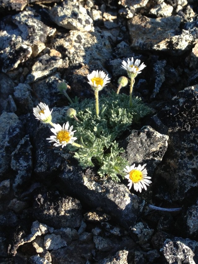
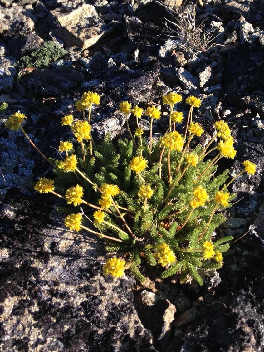
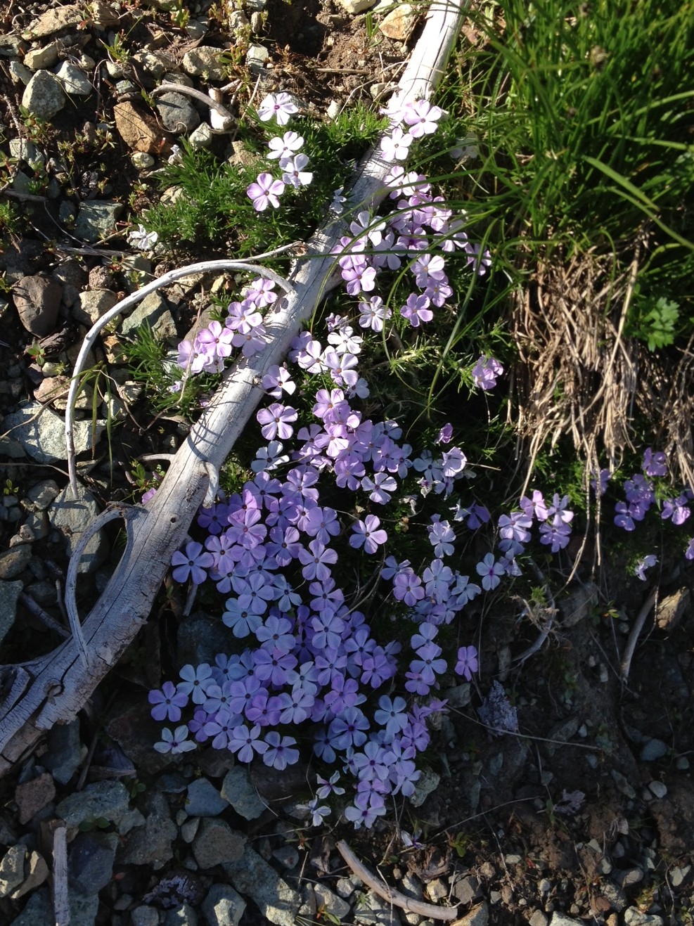
Note to Self: This is a very beautiful route, but it's also a long and challenging one. So don't let your your brain remember the wildflowers but forget the difficulties, and then invite somebody(s) to do it with you that isn't comfortable on steep snow, scree, and crummy rock, and who doesn't think walking from dawn to dusk is a great way to spend a day. Otherwise you may end up showing someone a miserable, rather than a wonderful, time in the mountains.
Day #2 could be made shorter by stopping for the night near Rattlesnake Peaks, but then Day #3 would be longer, which would mean that you would have to have a car waiting at Cash Prairie.
Acknowledgements: Some very special thanks are due here. First, I thank God for making this world, and especially the mountains, so very beautiful and fascinating; from the sight of a distant snow-capped peak to the wildflowers at one's feet. Thanks also for the love that I feel for these magical places, for the people that introduced me to the mountains, and for a body that thrills to the movement of walking along a trail and up and over rocks and snowfields.
Along these lines, special thanks to a couple particularly well-deserving body parts. First, to my legs, which happily go mile after mile without complaint. Never able to run as fast or jump as high as some of the other kids in school, these legs have instead always been strong and reliable. Once again they have brought me a lot of joy. To my feet, which spent 15 hours on Friday in a pair of climbing boots they hadn't been in in a year, yet got no blisters! To a heart and lungs that continue to pump out lots of energy, mile after mile after beautiful mile.
This was a wonderful trip, and it has reminded me that I am a lucky guy in so many ways.