Whidbey Island 2022
by Mike Thompson, 7/30/2022
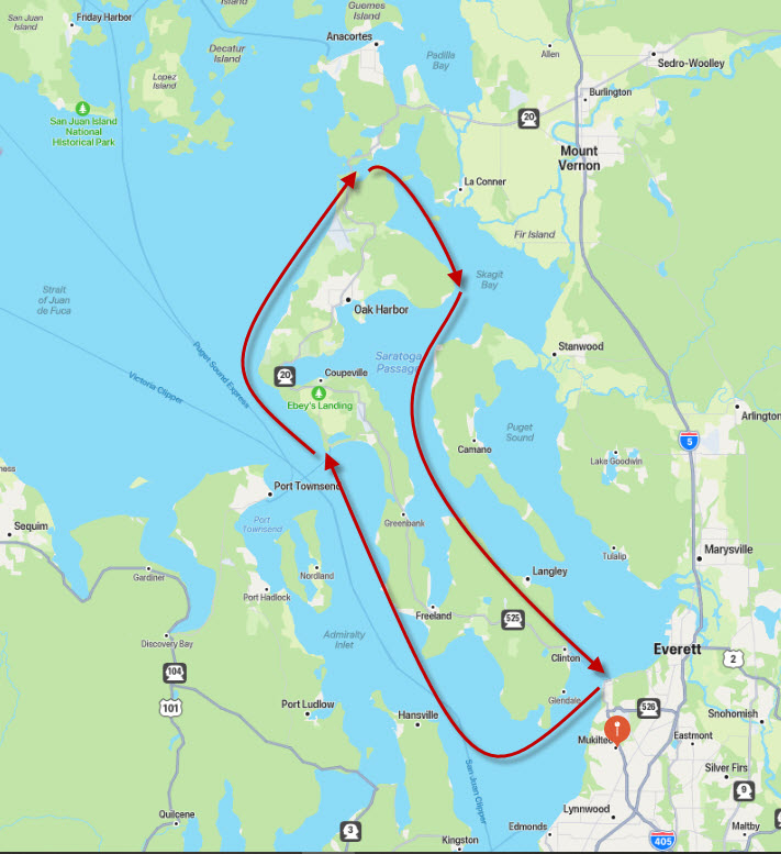
I just finished the fourth, and last leg of a trip rowing around Whidbey Island, a distance of about one hundred miles. It began with three consecutive days of near-perfect weather and favorable currents, except for the last stretch approaching Fort Casey and two hours of hard rowing spent going practically nowhere near Goat Island. The adventure was interrupted by adverse weather (fog and side/headwinds) and a couple committments at home, so the final leg was postponed until one week later.
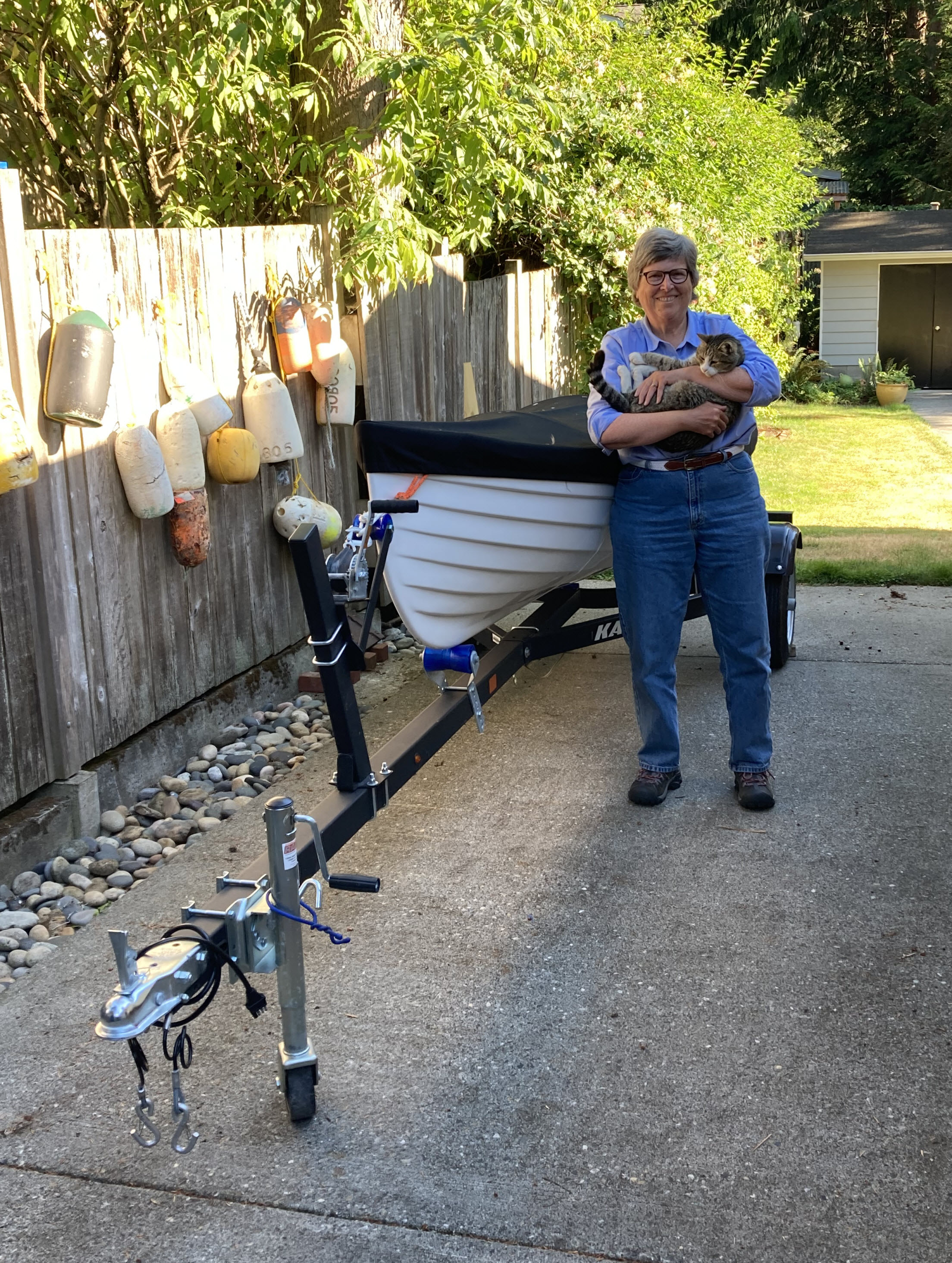
Jane has been my support crew, dropping me off each morning at the public boat ramp du jour, then pulling me out of the water at the end of each day. We've spent our nights at my sister, Susan's house near Coupeville on Whidbey Island, where I've been able to enjoy a warm shower, a hot meal, and good company each evening, sleep in a soft bed, and have coffee in the morning before heading out again. Pretty plush, adventure-wise!
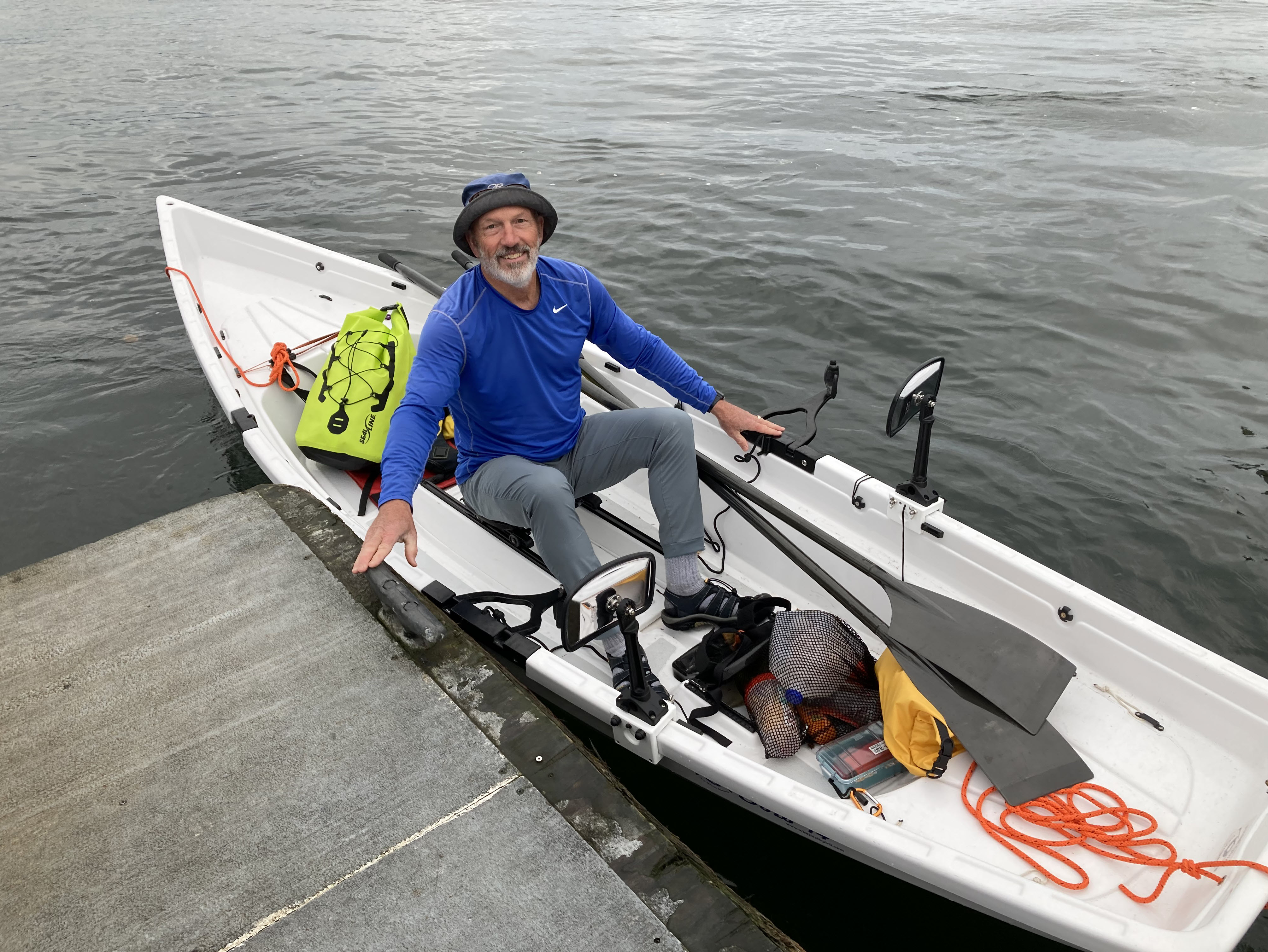
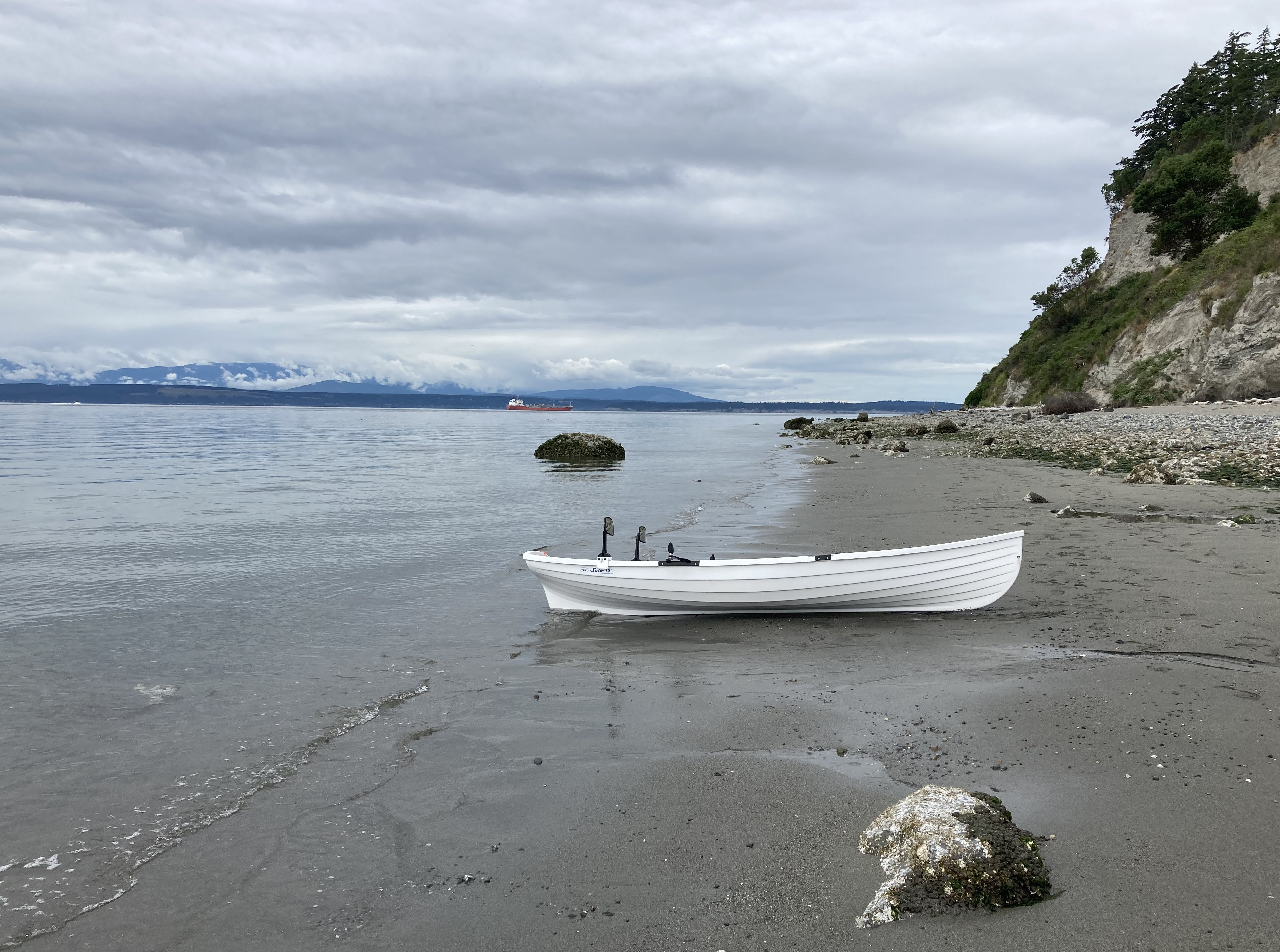
The rowboat, which Jane and I bought this spring, is interesting. It's a Whitehall Spirit Solo 14 and has a sliding seat, which is a total game-changer for rowing. At 14' long and 45" wide, this boat's not fast - I made somewhere between three and four knots an hour in smooth water - but your legs do all the work and you can keep going in it for a long time. Its smooth, rounded shape, which evolved in rowing skiffs during the 19th century, has nice glide and also handles rough water quite well.
The planning was an interesting exercise in itself, and I'm pretty sure I spent as much time finding public boat ramps on Whidbey Island, looking at tide and current charts, and checking the weather as I did rowing. Currents are strong in Admiralty Inlet and, famously, through Deception Pass. The availability of public boat ramps (which are few) determined the length of the individual segments, which in turn determined the flood/ebb currents that were needed to be able to complete those segments. I didn't find very many days in July or August with currents that would allow me to get me up and around the west side of the island, but fortunately one of the first of those departure dates occurred during a couple days of near-perfect weather.
Stunning beauty out there! Watched a pair of Dall's porpoises lolling outside Useless Bay, harbor seals popping their heads up to check me out all along the way, and a congregation of a half-dozen bald eagles at the south end of Dugualla State Park. Above all, watched lots of gorgeous water and scenery go by as I rowed, rowed, rowed my boat along the shoreline.
What follows is a day-by-day log covering the four days of rowing it took to complete the circuit. After that are some planning details that may be of help to anyone interested in doing this trip or another one similar to it. I don't pretend to be an expert on doing this sort of thing, but I do have some knowledge and experience now that may be helpful to others.
Day 1 - Sunday, July 17
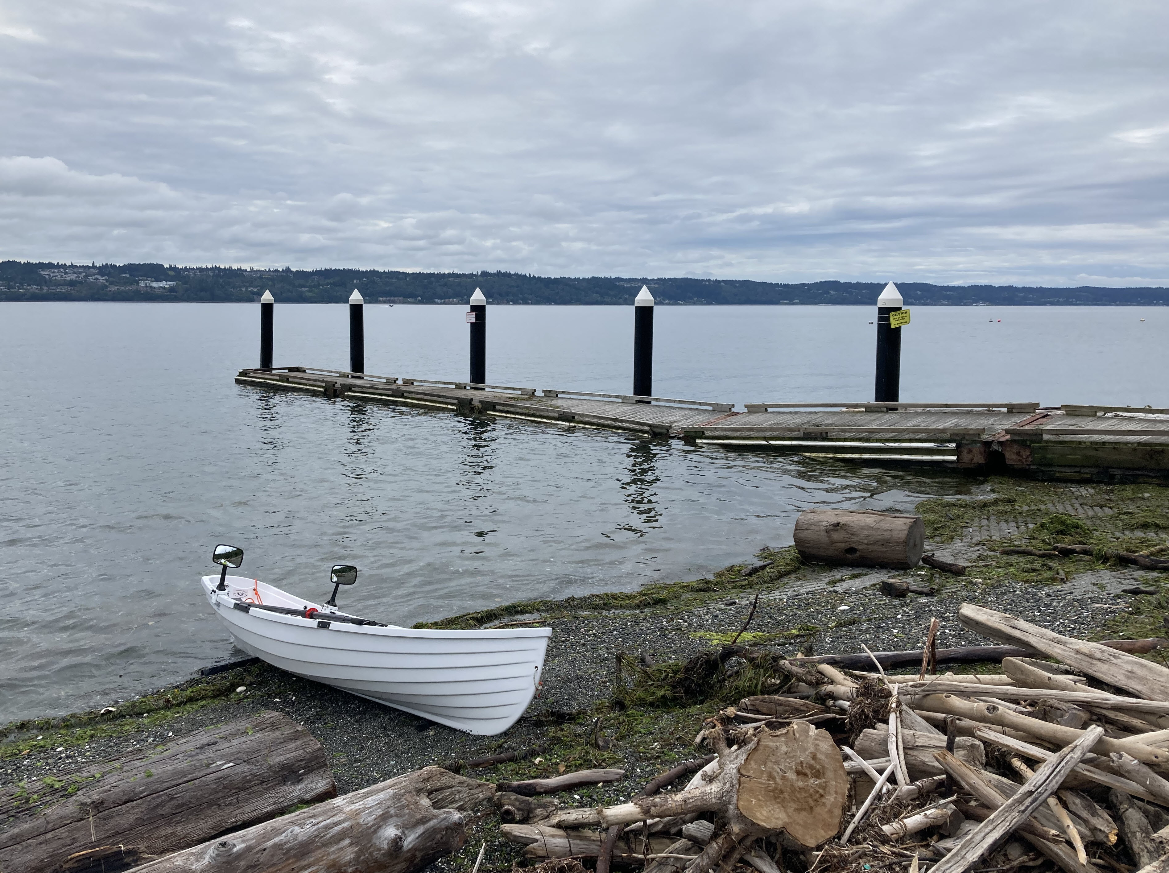
Jane and I drove to the Mukilteo boat ramp early in the morning to put the boat in the water and start the journey. I rowed away to the southwest at 6:30 AM, headed toward the south end of Whidbey Island, and reached the boat ramp at Possession Point State Park at 7:30 AM. There was a very light breeze from the north, flat water, and only a few powerboats wakes as I crossed the channel. Took a brief rest break at the park and then got back in the boat, continuing south around the southern tip of the island and then west across the mouth of Cultus Bay.
The next milestone was Double Bluff Point on the west end of Useless Bay. Useless Bay is useless, as a harbor at least, because it's so shallow. At extreme low tides, the bay becomes a giant mud flat. I stayed well offshore as I crossed it, about equidistant between the Whidbey Island shoreline and Point No Point on the Kitsap Peninsula. With barely a breath of wind, the water was wonderfully calm as far as I could see and the rowing was quiet and easy. A pair of Dall's porpoises were lolling outside the bay, and I saw them break the surface near my boat several times. A tug towing a huge barge, a freighter, and a big catamaran about half the size of the Victoria Clipper went by out in the channel. Absolutely gorgeous out there as the Olympic Mountains came into view!
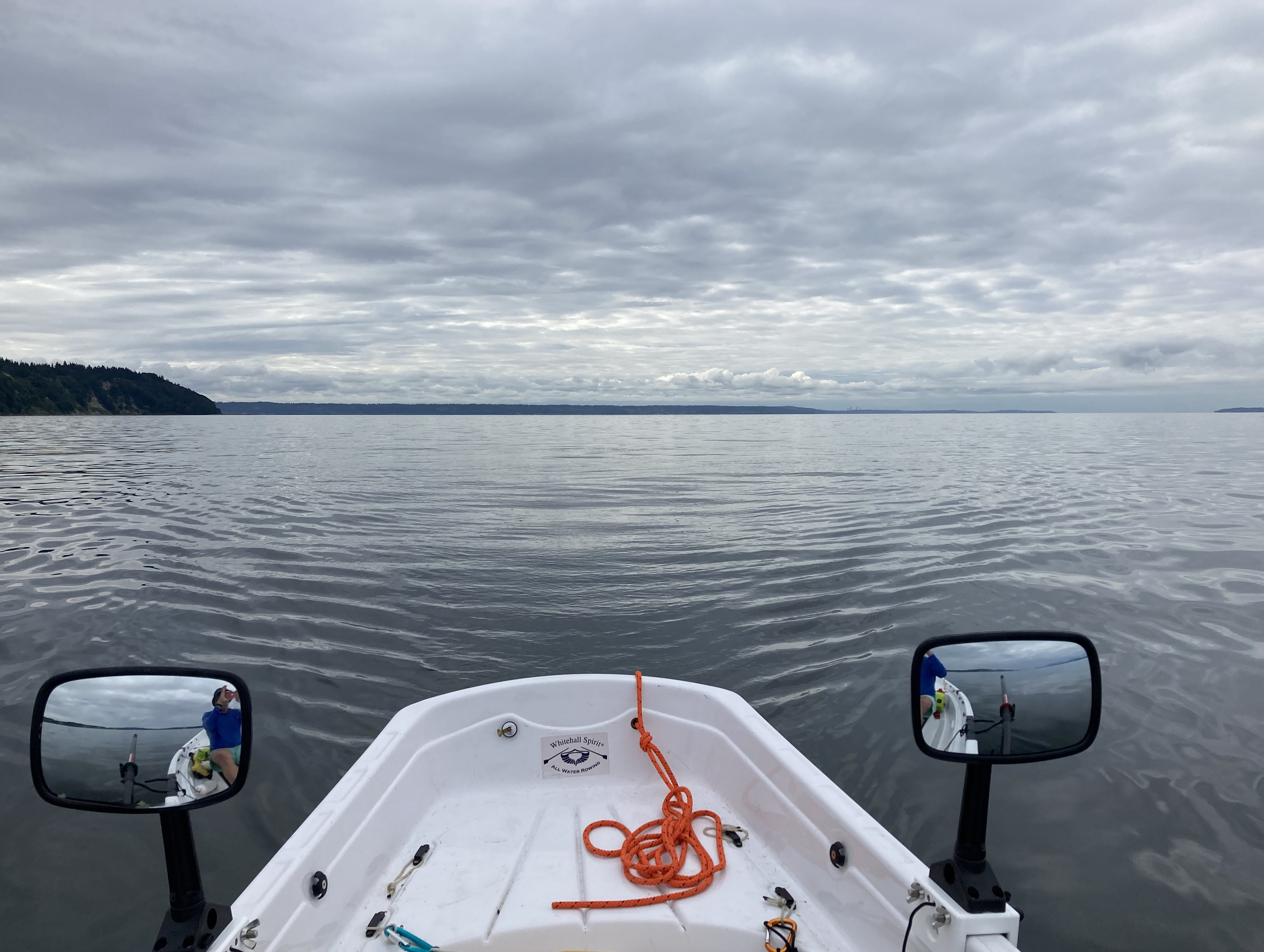
At 10:30 AM I reached the south end of Mutiny Bay. Coming around the point I found the bottom to be quite shallow and the current running to the southeast, the opposite direction that I was expecting, since the tide was dropping, ebb in Admiralty Inlet was well under way, and the predicted current out in the channel as of 10:30 AM was -3 knots (running from south to north). This was the first of several times on the trip that I experienced nearshore currents running in the opposite direction of the current in the channel. This phenomenon is an important consideration when rowing/paddling in areas that have complex underwater topography and current, as does Puget Sound.
I did a bit of whitewater canoeing and kayaking a few years back. One of the things I learned was that there's a surprising amount of water in a river that is actually moving upstream rather than downstream. Areas where the water is moving contrary to the main current are called eddies, and whitewater paddlers look for them to use as places where they can pause to rest or pull their boats out of the water along the bank of the river. These eddies form behind large rocks on the river bottom (which may or may not be visible at the surface), places where rocky points protrude into the river, and along the insides of sweeping curves in the river's course.
I found the same thing happening at several points on my way around the Whidbey Island, including here at the point at the south end of Mutiny Bay, near the point at Fort Casey, and along shoreline at Deception Pass Narrows. So, remember that the current predictions available from NOAA apply to the main channel, but may have nothing to do with what's happening near the shore.
Most of the Mutiny Bay shoreline is private lots with houses on them, but I found a sandy spot near the north end of the bay where I could pull the boat out of the water and take a break. The next milestone was the Bush Point boat ramp, now only a couple miles to the north. With the wind still very light and an ebb (south to north) current running in Admiralty Inlet until 3:00 PM, it seemed a shame to end the day's rowing at Bush Point around noon, so I texted Jane to tell her that I would try to make it to Fort Casey.
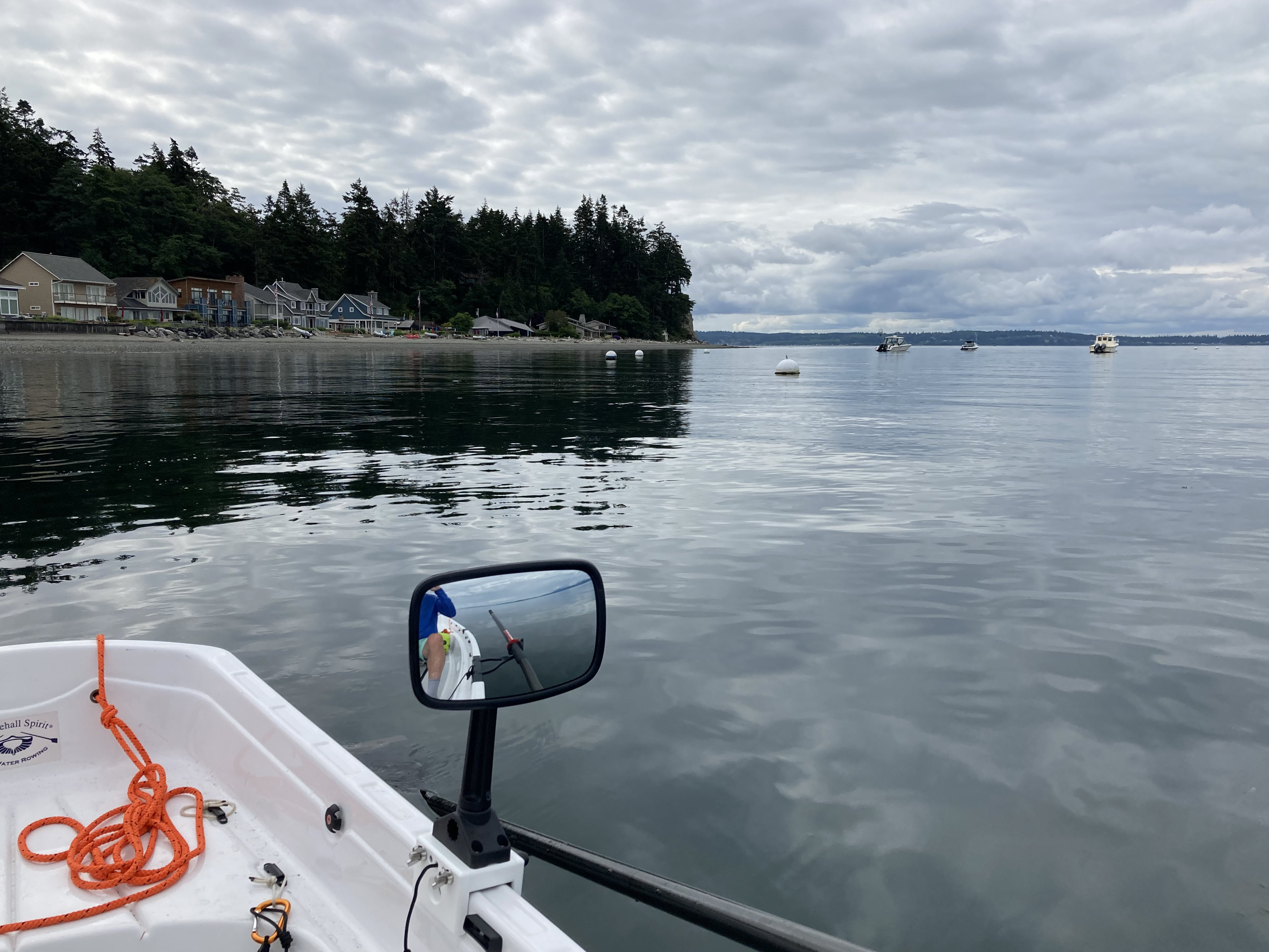
I continued to make great progress, aided by the current, passing Bush Point about noon and Lagoon Point about 1:00 PM. Very neat to neat gaze west across Admiralty Inlet at the Olympics behind Marrowstone Island, with the steam plume from the Port Townsend lumber mill coming into view, and then catch my first glimpse of the Port Townsend ferry heading toward Fort Casey.
About 2:00 PM I reached the beach at the north end of Admiralty Bay, making my landfall about a mile and a half east of the ferry dock and public boat ramp at little harbor at Fort Casey. I would spend the next hour rowing hard to cover that mile and a half, as I discovered a strong current running along the beach from west to east, the opposite direction from what I expected. Note to Self: It's important to hit your landfalls accurately in areas where the underwater topography may cause the nearshore current to run in the opposite direction of the current out in the channel.
Just before 3:00 PM I finally pulled into the little harbor at Fort Casey and tied up the rowboat to the dock at the public boat ramp. Shortly my sister, Susan appeared, having driven down from her house just north of Point Partridge, and we talked for a while as I rested and stretched. It felt surreal to have traveled the thirty miles between Mukilteo and Fort Casey in a single day in a human-powered boat!
Jane then appeared with our rowboat trailer, having come across from Mukilteo to Clinton on the ferry. We pulled the rowboat out of the water and then drove to Susan's house, where I enjoyed a warm shower, dinner, and a nice, soft bed, all of which were very welcome!
Day 2 - Monday, July 18
The next boat ramp north of Fort Casey is at Cornet Bay, which is about a mile east of Deception Pass Narrows. The wind was forecast to be very light again today, with the current along the shoreline north of Point Partridge a bit of a wild card. My best guess was that the current close to shore would be minimal between Point Partridge and Deception Pass, which did turn out to be the case.
Jane helped me put the boat in the water at Fort Casey and I rowed away at about 8:30 AM. Just outside the little harbor I ran into some very choppy water, probably due to the current running over a shallow underwater shelf. If this was an indicator of the day ahead, progress would be slow and making it to Deception Pass would be difficult. But after about ten minutes of rowing in turbulence, the water settled down quite a bit, and by the time I reached Point Partridge at 11:30 AM the water was calm.
Point Partridge is right at the east end of the Strait of Juan de Fuca, and if there's a northwest swell in the Pacific it will run all the way down the straight and break here. I've surfed small waves a couple times at Point Partridge in years past, though long ago I decided that the risk of breaking a fin off my surfboard on the shallow, rocky bottom wasn't worth the risk. Today small waves were breaking on the beach just south of the point, and I ended up taking on some water both while landing and while leaving the beach. I took a break of about twenty minutes here before continuing north.
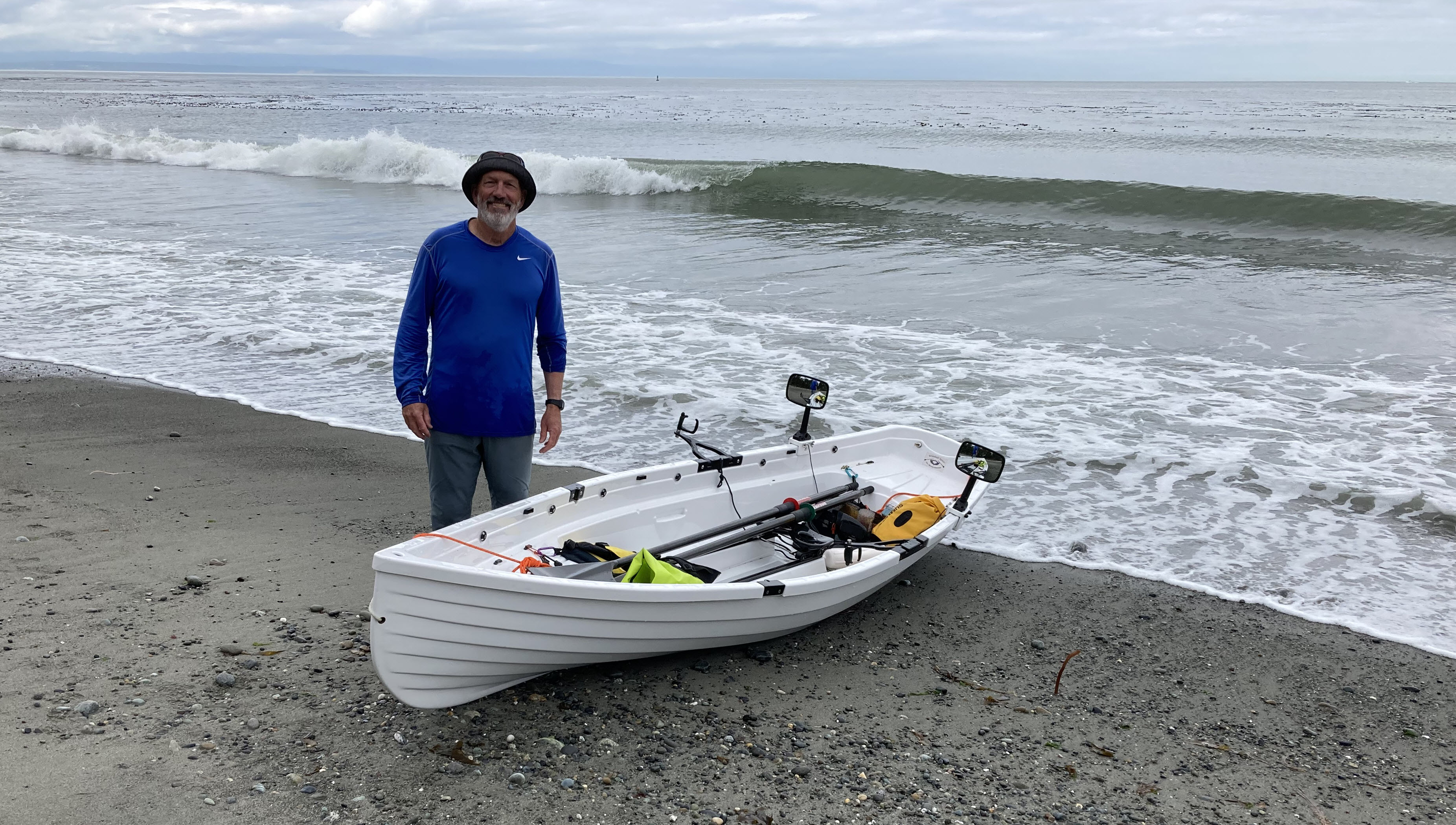
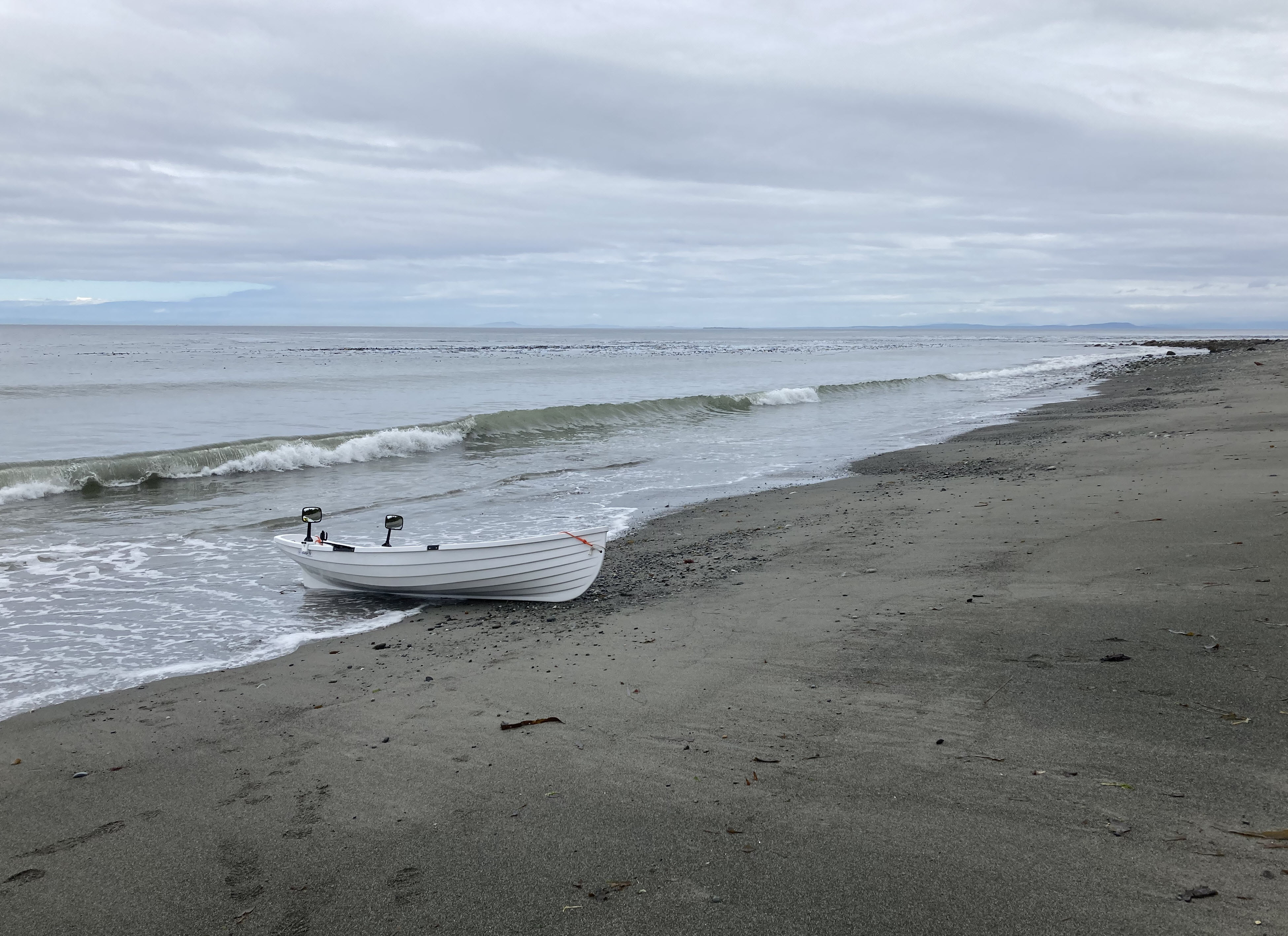
Just a mile or so further was Susan and Bill's house, which is the westernmost house on Whidbey Island. I had texted them to let them know I was on my way, and when I arrived in front of their place they were waving to me from their deck. They were a bit too far away for us to be able to hear one-another, so I called Susan on my cell phone and we had a short chat. I started rowing north again just after noon. From this point all the way to Deception Pass there was only the hint of a breeze, and the water was almost as calm as it was yesterday.
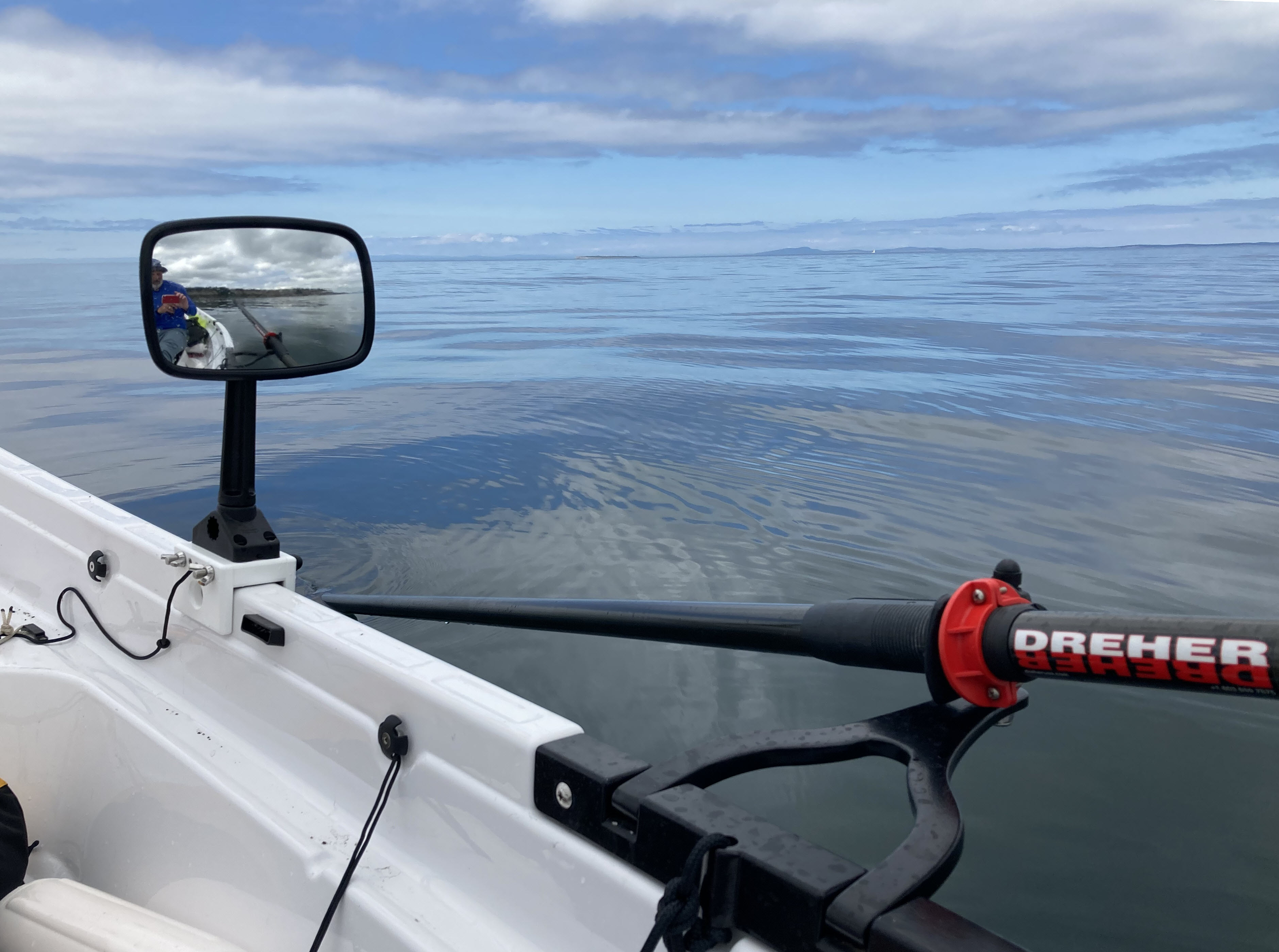
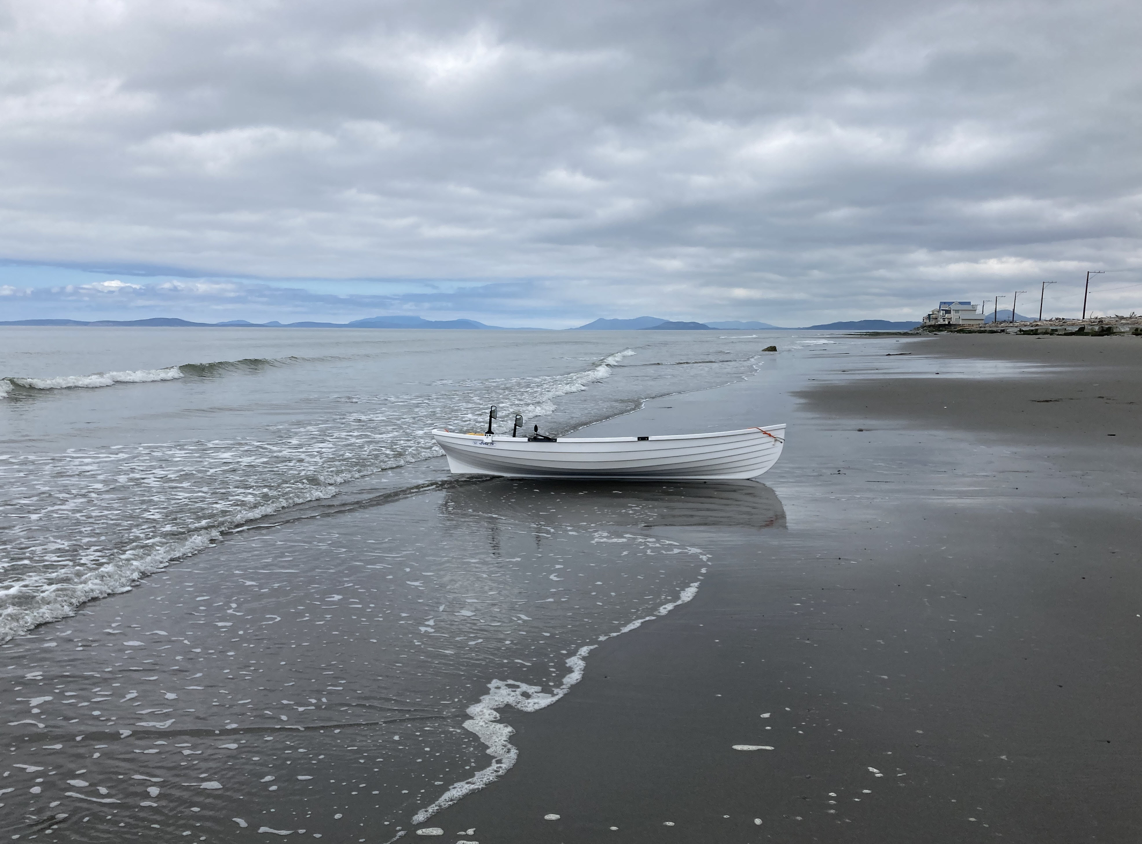
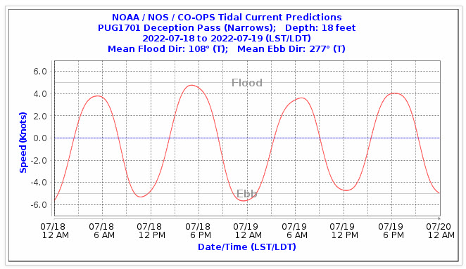
Just before 6:00 PM I arrived at the beach just outside Deception Pass. Here I beached the boat, changed out of my wet clothes, and took a long rest break. Flood current (flowing from west to east) through Deception Pass runs from 3:00 PM to 9:00 PM, which means max current, which will be over 5 knots, happens right about now. Don't want to go through when the current is running that hard, so will wait until close to 8:00 PM, when the current should be closer to 2.5 knots. Rested and wearing my life vest, I set out from shore about 7:30 PM to get lined up near Deception Island and then start making my way into the pass.
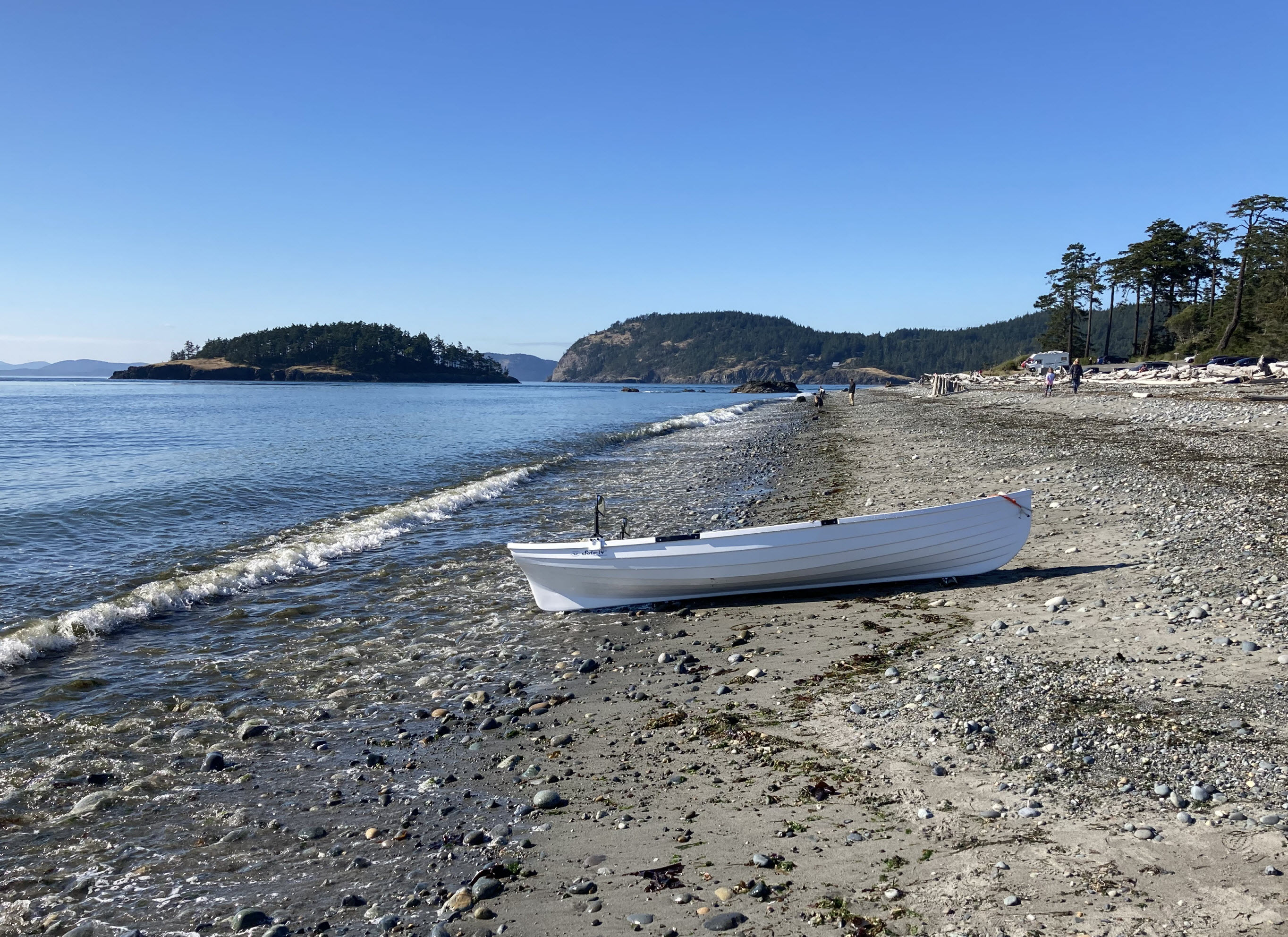
I was definitely anxious about going through Deception Pass backwards in a rowboat, having been through twice before while facing forward: once in our Wenonah canoe at slack water, and once in a sea kayak with Robbie Munger at about halfway between max current and slack water, when we did some wave surfing in Canoe Pass. This trip through turned out to be easy, much to my relief. Lining up near Deception Island to go through the middle of the main pass was pretty simple. Only a couple times, after I was through the narrowest section of the pass, did eddy swirls from shore reach out into mid-channel, grab the rowboat, and spin it sideways. I was able to row through the pass just west of Ben Ure Island and into lovely Cornet Bay. Hooray! I rowed over to the boat ramp, Jane promptly appeared with the car, we loaded the rowboat on the trailer, and then we drove back to Susan and Bill's place for a late dinner and a good night's sleep at the end of another great day.
Day 3 - Tuesday, July 19
My intention was to leave Cornet Bay at 5:00 AM in order to take best advantage of the current past Yokeko Point and down the northeast side of Whidbey Island. But a couple more hours of sleep sounded so good that I didn't get away until 8:30 AM, which ended up costing me some time between Hope Island and Goat Island.
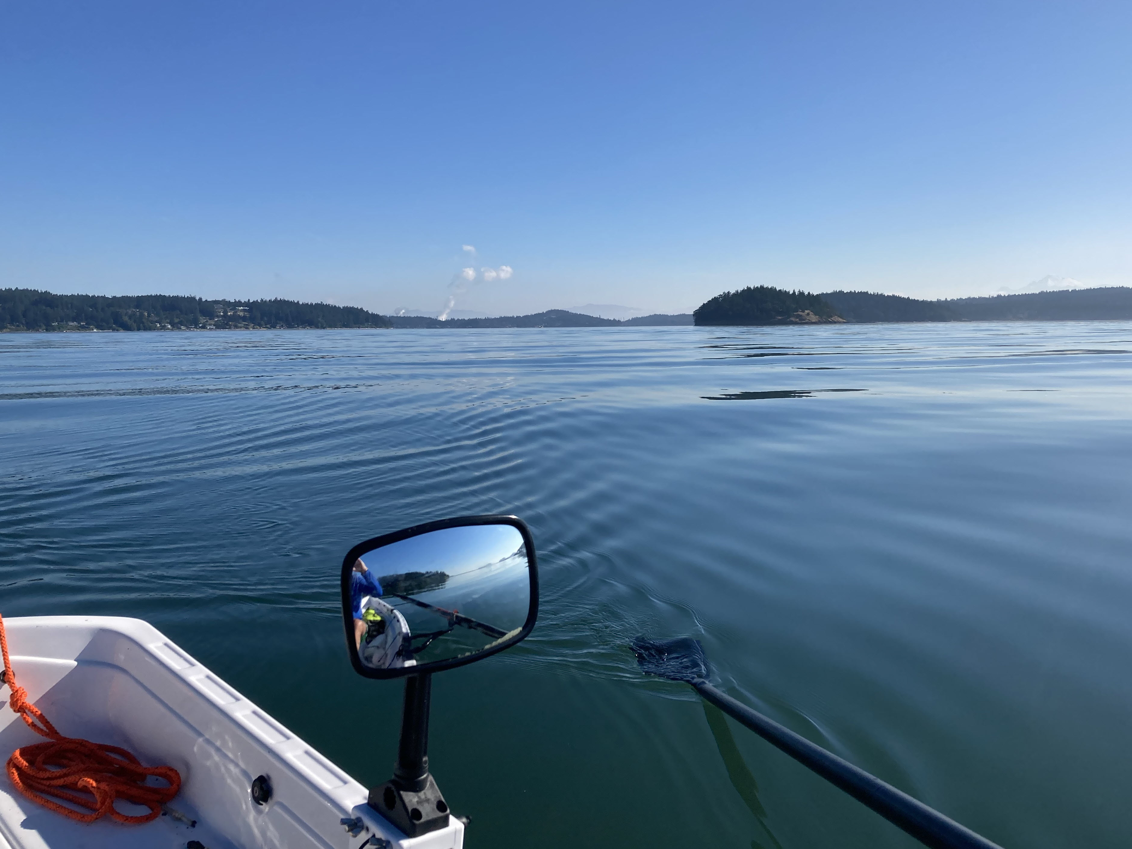
The water was flat and beautiful as I rowed out of Cornet Bay and past Yokeko Point, with only a little powerboat traffic in the channel. Hugging the wooded shoreline, I didn't see the low sand spit that extends from the south end of Hope Harbor out toward Hope Island, so I ended up having to row the length of the spit to get around its tip. At the tip I noticed that there was a bit of current opposing my progress. With my late start I had missed all but the very end of the flood through Deception Pass, and now the current was switching to running south to north.
Having already made one navigation error at the Hope Harbor sand spit, and seeing in the distance the jetties that extend both east and west from Goat Island, I decided that following the powerboats was the surest way to finding the most direct path through the area and so rowed out into the main channel. That turned out to be the wrong choice for two reasons: (1) the opposing current was building and it was strongest mid-channel, and (2) just at that time the wind started coming up from the west, causing the rowboat to drift to the east and a heavy chop to build that made my rowing less efficient. Soon, rather than rowing south, I found myself rowing almost straight west in order to counter the effect of the wind and try to claw my way back to the shoreline, where I would be shielded from the wind by cliffs and trees.
At this point I was directly east of Dugualla Bay, where the west wind had maximum fetch and the chop was the biggest. As I struggled to make progress to the southwest I could see that the current was pushing me to the north, from where I had just come. I ended up spending the better part of two hours of constant rowing in order to get from just south of Hope Island to the north corner of Dugualla State Park, just at the south edge of Dugualla Bay. It's a north/south distance of barely three miles, but I probably rowed closer to five miles, and all of them slowly.
Pretty worn out, I pulled the rowboat up on the beach and took a nice, long break, downing a liter of water and the last of the cookies I had brought. In review, my mistakes here were: (1) not starting early enough to take best advantage of the current, and (2) not examining Google Satellite View closely enough to understand the extent of the sand spit at Hope Harbor and the jetties at Goat Island. The end result was arriving at Strawberry Point three hours later than I had planned.
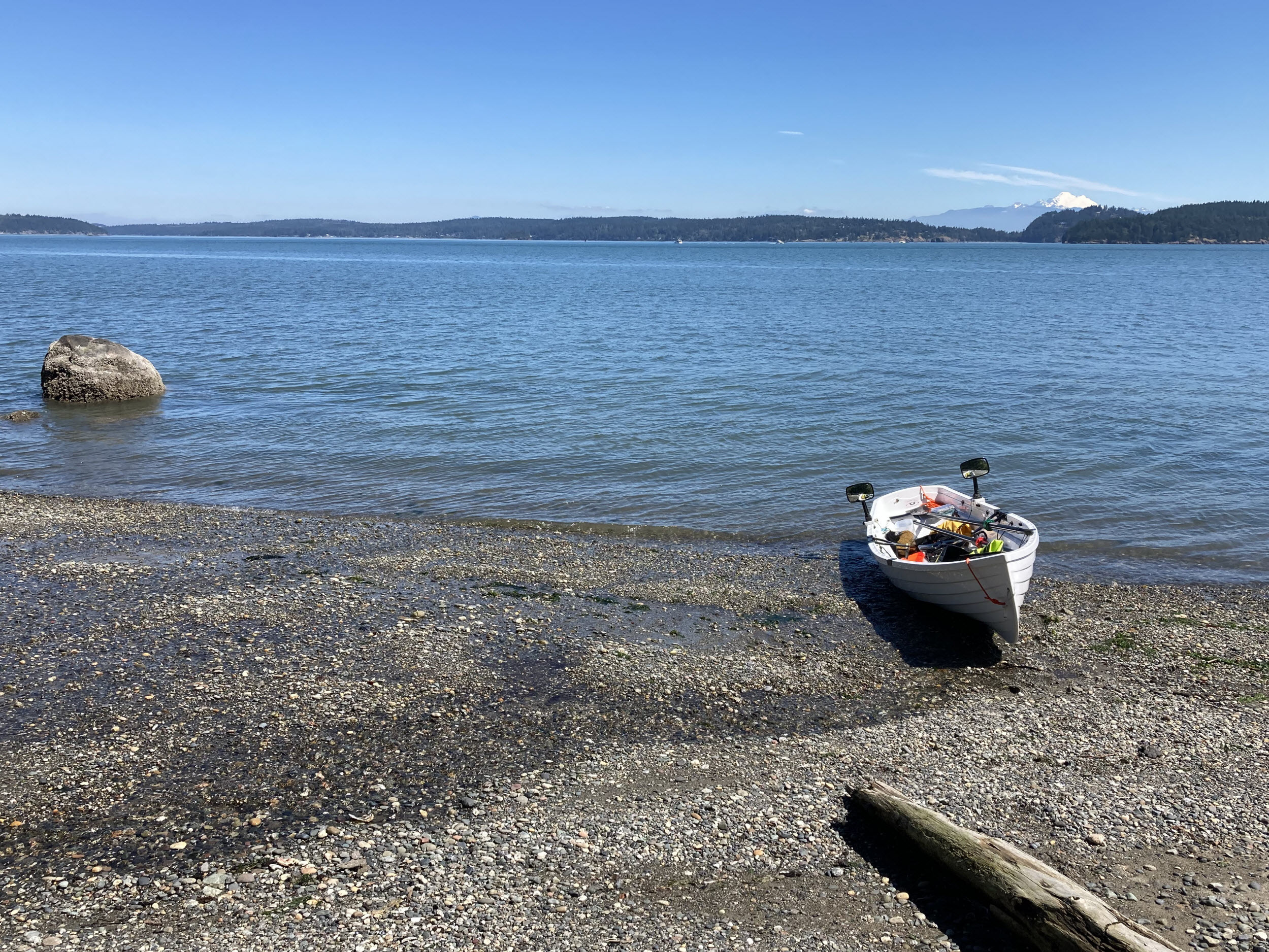
I hugged the shoreline the rest of the way to Strawberry Point. In the lee of the heavily wooded shore, the water was flat and I could barely feel the breeze blowing out of the west, the effect of the now-diminishing opposing current was minimized, and the rowing was easy. At the south end of Dugualla State Park I paused to watch a half-dozen bald eagles congregate on a couple big drift logs right at the shoreline.
When I reached Strawberry Point just before 3:00 PM the tide was dropping and the bottom end of the concrete boat ramp was only covered by a couple inches of water. I pulled out the four half-sections of 4-inch-diameter ABS pipe I cut for the purpose, lined them up at the bottom of the boat ramp, and slid the rowboat up on them before the water level fell any farther, thus avoiding scraping up the bottom of the boat on the rough cement and barnacles. With the help of the nice guy that lives right next to the public boat ramp at Mariner's Cove, Jane and I were able to pull the boat up and onto the trailer. We then drove back to Susan and Bill's place for a dinner of take-out Thai food.
Day 4 - Wednesday, July 20
The day dawned with thick fog at Susan and Bill's house. I checked the weather forecast and saw that late-morning fog east of Oak Harbor was likely, and that the wind directions would be from the southwest. Being out in the channel between Whidbey and Camano islands in the fog with a headwind would be not very safe nor very fun, so it's time to take a break. Jane's family reunion is this coming Saturday at Haller Lake, and my friend Wayne Hinkley is coming over from Yakima on Sunday. I'll probably come back next week to row from Strawberry Point back to Mukilteo.
Day 4, Continued - Wednesday, July 27
Jane and I left the house at 6:00 AM with the rowboat on its trailer behind us. We drove north through Mount Vernon and over the Deception Pass bridge to the Mariner's Cove public boat ramp at Strawberry Point. I rowed away from the boat ramp at 8:30 AM with a very light breeze blowing from the southwest. By the time I was midway across the channel between Whidbey Island and Camano Island it was perfectly calm and the water was flat and beautiful, only occasinally disturbed by the wakes of powerboats using Saratago Passage to get to/from the San Juan Islands and other points to the north. More wonderful rowing!
Made a pit stop at Onamac Point, where there's small spit topped with a big, green navigational marker and a boat ramp. I think this is either a private campground or is managed by some homeowner's association, as it's not on any of the lists of public boat launches that I've found. Then I continued south along the Camano Island shoreline to Cama Beach, which I reached at noon. Stretched the legs, chatted with the Center for Wooden Boats member that's staying in the Boatman's Cabin, and took a happy snap of the rowboat in front of the old Boathouse. Love this place! I was lucky to serve the Center for Wooden Boats as the Cama Beach Manager last summer, and Jane and I have both put in many happy hours as volunteers here.
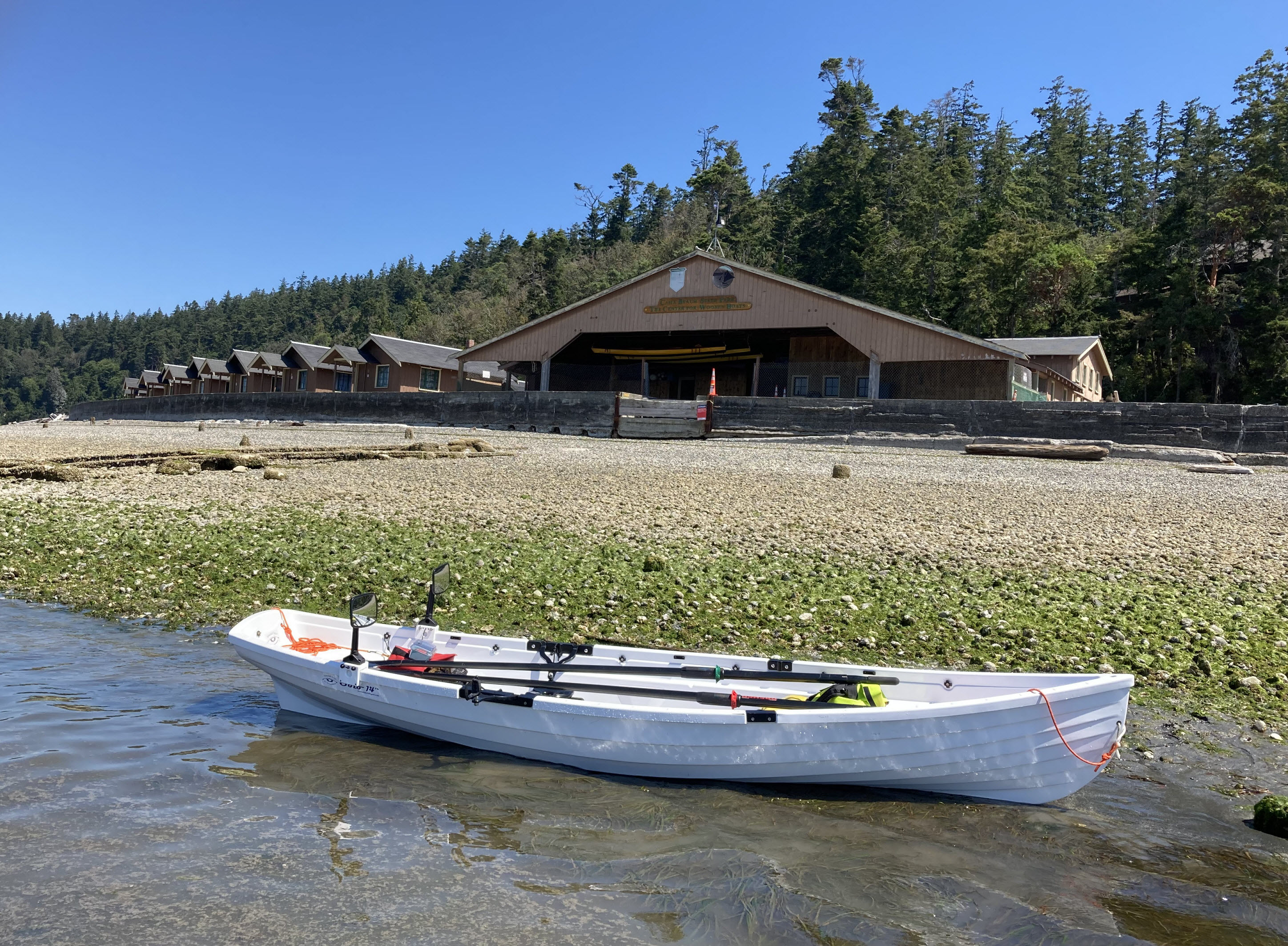
Left Cama Beach at 12:30, by which time a light nortwest breeze had started blowing. The forecast says this breeze will remain less than 10 knots, with gusts to 15, and I'm counting on that forecast being correct. While here last summer, I witnessed many afternoons when the northwest wind rose and rose until we had to stop boat rentals, scramble to recover whatever boats were already on the water, and potentially rescue boaters who suddenly found themselves is very rough conditions that they were not capable of handling. I'll be eyeing the wind carefully for the rest of this day, and hoping that if it builds I'll be in a position to be able to reach shore safely.
By the time I had rowed past Camano Island State Park and was heading across the channel toward Langley things were getting interesting, the wind growing stronger and more westerly and whitecaps appearing. The crosswind made it difficult to keep the rowboat on a southerly heading, and the wind swells made the boat roll considerably while heading across their path. For the next hour I struggled to make headway to the south without risking a capsize. Full attention required and completely in "be here now" mode the whole way. I was almost all the way to Langley before managing to angle across the channel, and pretty pooped by the time I pulled into the little harbor there two and a half hours after leaving Cama Beach. This stretch was definitely the most challenging rowing of the trip.
Took a nice, long break at Langley, eating, drinking, stretching, and gathering strength for the final push to Mukilteo, about seven miles further. Once again I was going to need to venture well offshore, this time between Whidbey Island and Hat Island in Possession Sound off Everett, then south to Mukilteo crossing the route followed by the Mukilteo/Clinton ferry. I rounded the point just east of Langley at 4:00 PM and started angling away from shore to the southeast. At this stage the wind was from almost due north, generally quite favorable given the route, but there was still some angling to the east across wave faces to be done. Lots of whitecaps in the channel, but thankfully the wind speed did not increase beyond what I had experienced while approaching Langley. With a nice push from the wind, and staying well clear of the ferry boats, I made it to Mukilteo just before 6:00 PM, where Jane was waiting for me with the car and trailer.
A nice ending to a great trip!
Trip Planning
I probably spent more hours planning the trip and checking, currents, weather, and tides than I did rowing. If you're going to do a trip like this, remember to consider the tides. That's both because they drive the currents and because, at very low tides, some of the boat ramps become unusable. And for heaven's sake, don't assume favorable weather! When you're on the water, the wind means everything.
The first constraint for rowing around Whidbey Island was public boat ramps. Our rowboat weighs about 150 pounds, which makes it too heavy for Jane and I to lift on and off of roof racks. That means we need to haul the boat on a boat trailer, which requires a paved boat ramp. The public boat ramps available to us were the following.
- Mukilteo Lighthouse Park: The start and end point for the trip.
- Possession Point State Park: Just 3 miles across the channel from Mukilteo, it's too close to be of use except in an emergency.
- Bush Point: About 18 miles distant from Mukilteo, it determines the minimum length of one of the two longest legs of the trip.
- Fort Casey: About 22 miles distant from Cornet Bay at Deception Pass, it determines the minimum length of the other of the two longest legs of the trip.
- Cornet Bay: About 1 mile east of Deception Pass Narrows.
- Strawberry Point: About 10 miles southeast of Cornet Bay. The Oak Harbor and Coupeville boat ramps lie 6 and 10 miles to the west and southwest of Strawberry Point, which makes them less attractive.
- Camano Island State Park: About 10 miles south of Strawberry Point, 15 miles north of Mukilteo.
- Langley: About 18 miles south of Strawberry Point, 7 miles northwest of Mukilteo.
There are a very limited number of places on Whidbey Island where overnight camping is allowed. I decided to skip the camping gear and instead count on being able to pull the rowboat out the water each night and stay at Susan and Bill's house. I did carry enough warm clothes, food, and water to have been able to spend a night hauled up on a beach, in case I was unable to reach the boat ramp Jane and I were planning to rendezvous at. Thankfully, that never happened.
My source for wind and weather info was www.windy.com, which is terrific! My source for current info was www.tidesandcurrents.noaa.gov. The following are the NOAA current stations that I used.
- West of Mukilteo
- Point No Point, 2.1 mi. E of
- Bush Point Light, 0.5 mile NW of
- Point Wilson, 2.7 mi. NE of
- Smith Island, 3.4 mi. ESE of
- Deception Pass (Narrows)
- Yokeko Point, Deception Pass
- Skagit Bay, 1 mi. south of Goat Island
- West of Camano Island
- Camano Head - Sandy Point
Thanks to Andree Hurley of Washington Water Trails Association, who did an interesting "The Secrets of Tides and Currents" presentation that I attended via Zoom. Thanks also to George Gronseth of Kayak Academy, who attended that meeting and added a wealth of important details. And thanks to Robbie Munger, a brilliant software developer with whom I worked at WRQ and a good friend, whose kayak trips along the Inside Passage to Alaska and around Vancouver Island have provided inspiration.