Seep Lakes 2011
by Mike Thompson, 8/1/2011
NOTE: This is from an email sent to family and friends on 8/1/2011.
Dear Y'all,
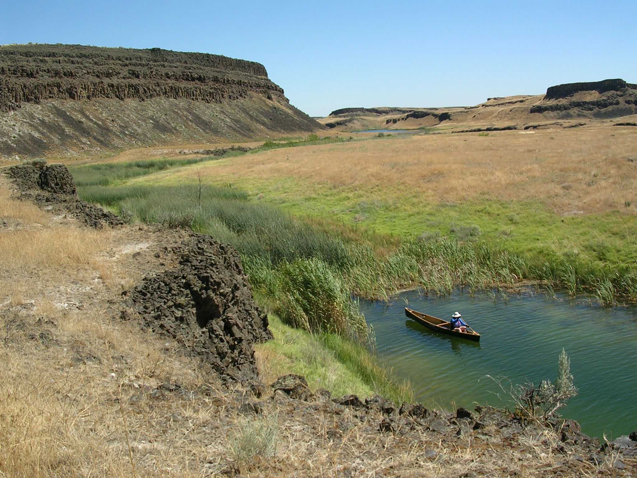
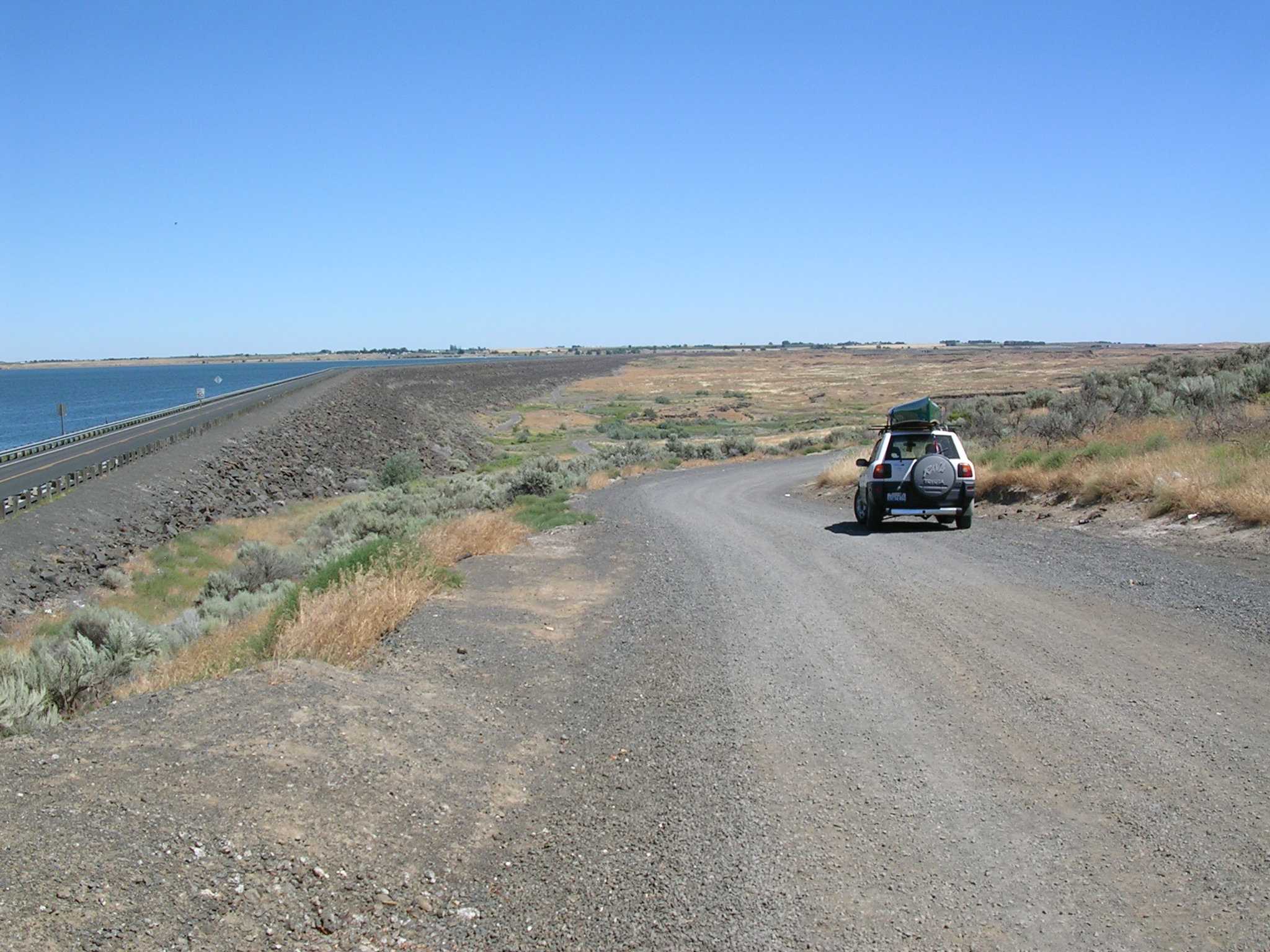
Jane and I threw the canoe on the car and drove east this weekend to explore an area called the Seep Lakes. I think the name comes from the fact that the water in these small lakes has seeped out of Lake O'Sullivan (aka Potholes Reservoir), and is making its way slowly down toward the lower Columbia. The Seep Lakes Wildlife Area is in an area of scablands similar to the Grand Coulee and Moses Coulee areas to the north; lands scoured by the Ice Age floods, which left behind little topsoil and lots of exposed basalt cliffs. The first picture here was taken at the base of the earthen dam at the south end of Lake O'Sullivan. You can see the reservoir on the left, which extends 7 miles north to where it meets Moses Lake. On the right you can see the northern edge of the coulee country in which the Seep Lakes lie, which stretches 12 miles south toward Othello and Highway 26.
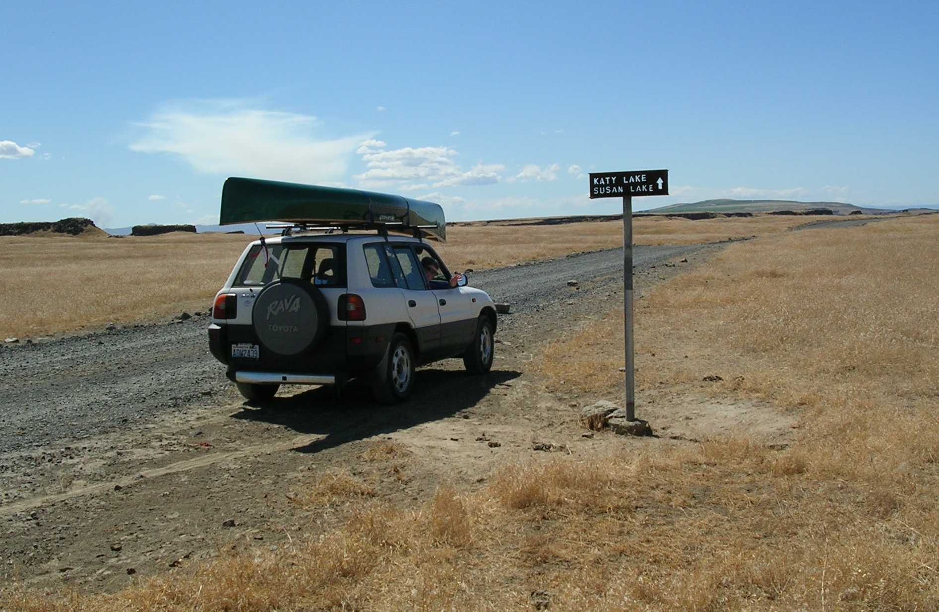
The next couple pictures give you an idea what the terrain looks like. It's green around the edge of these lakes, and in low-lying areas where the water is at or near the surface. Above these lush zones it's all sage brush, dry grasses, and rock, as in the picture we took of a sign leading to a couple lakes with familiar names.
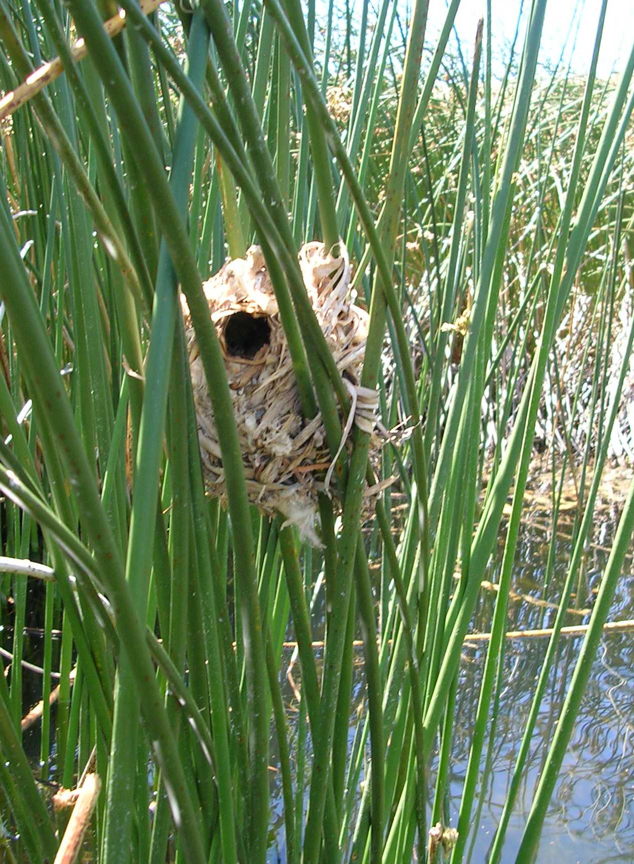
Down at the water's edge there's lots of life: cattails, reeds, frogs, fish, and a surprising variety of birds. Among the reeds we saw nests woven out of grasses, made by some very small and clever species of bird. We saw shorebirds that we didn't expect to find so far from the ocean, including white pelicans, a beautiful, white great egret, cormorants, blue heron, and sea gulls.
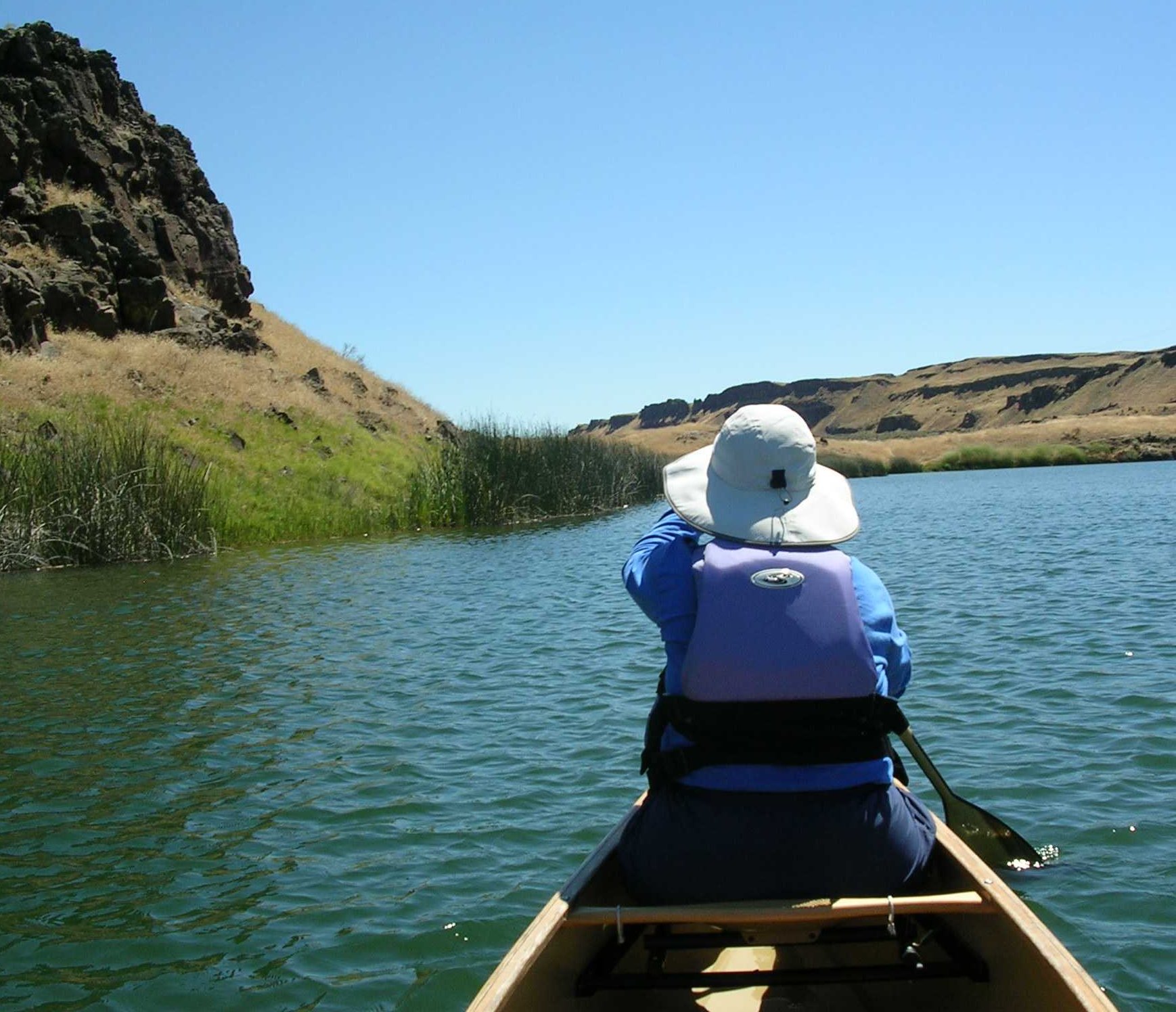
We got in 6 paddles in two days. On the drive over we paddled at Vantage, on the west side of the Columbia river beneath the Ginko Petrified Forest park. Next was a small lake just north of the Frenchman Hills, which are about 10 miles north of Royal City. In the Seep Lakes Wildlife Area we paddled on Hutchinson Lake, Warden Lake, Corral Lake, and finally Long Lake, where we also had a nice swim. The afternoon temperatures were in the low 90's, but thanks to a steady breeze the heat was pleasant, not oppressive. We found that there's a canal that joins several of the lakes, which would allow a north-to-south paddle of 6 miles or more through the middle of the area. We're adding that trip to our paddling to-do list!
Kowabungularly Yours,
Mike
