Grand Coulee 2013
by Mike Thompson, 6/26/2013

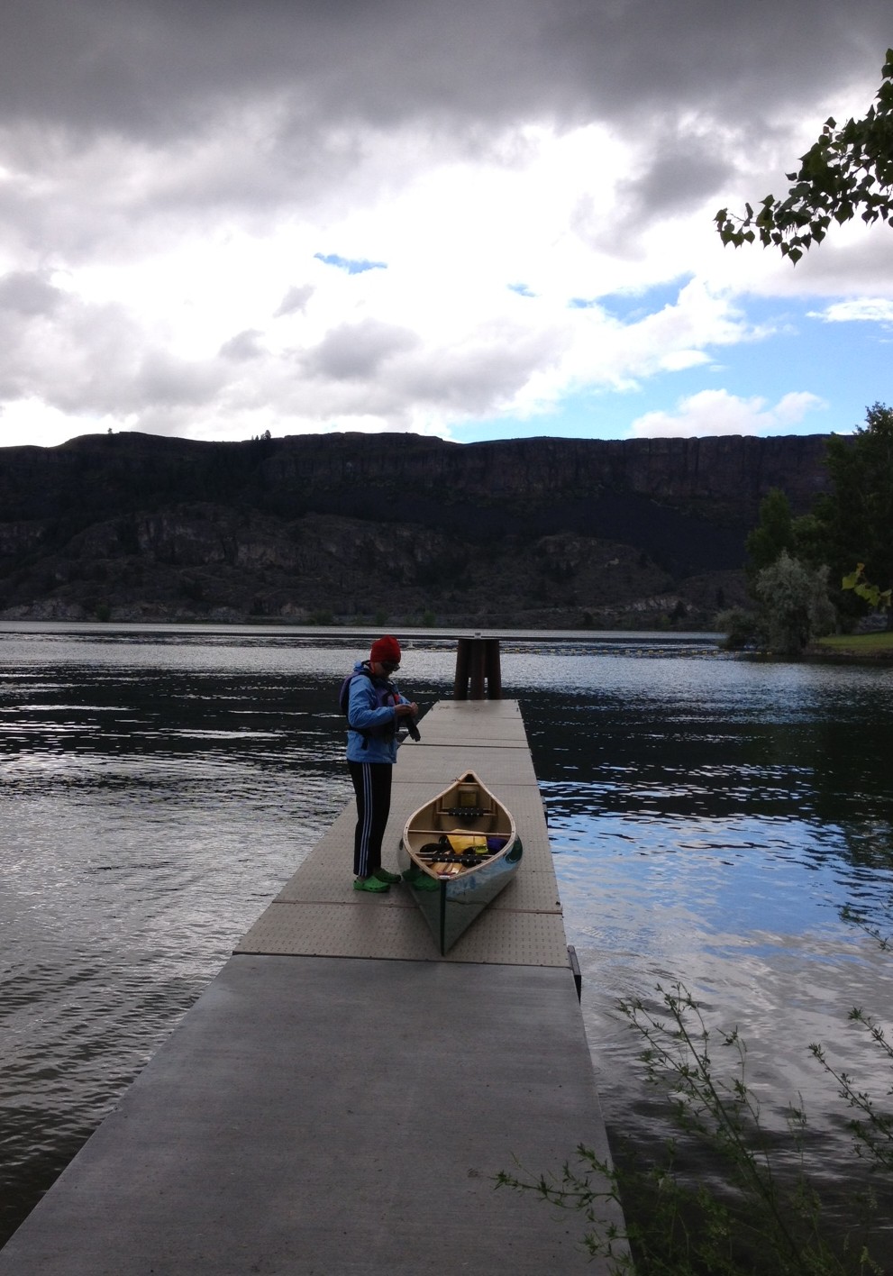
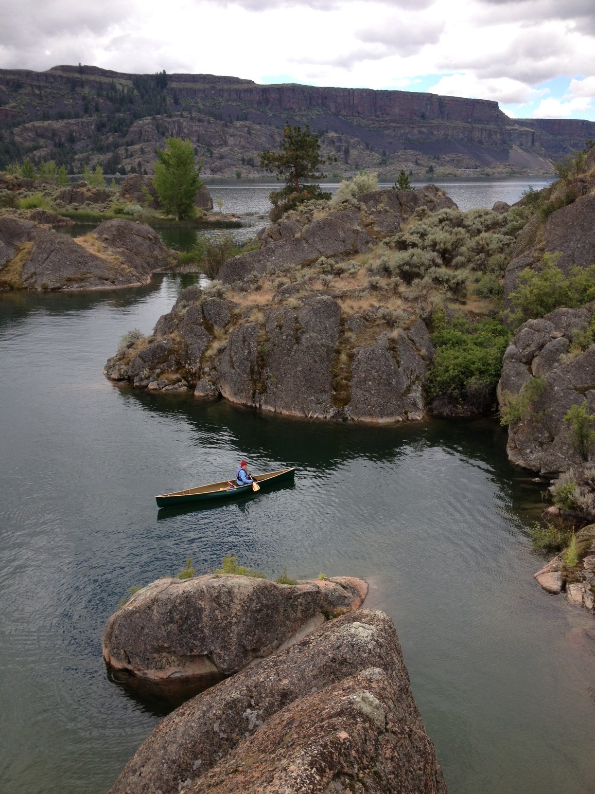
With Jane having sent her 4th graders home for the summer, I took a Friday off from work so we could spend a three-day weekend canoeing in the Grand Coulee area. Friday morning we drove north from Ephrata, up the Grand Coulee and past the Sun Lakes to Coulee City, where we stopped for coffee. We continued north along Banks Lake to Steamboat Rock State Park, where we put in and paddled out to a small island made of granite. It's just at this point that the Columbia River basalt, which comprises almost all of the Grand Coulee, gives way to the granite of the northern edge of the state of Washington. This little island consisted of big pillows of gray to rose-colored granite, with small pine trees, grasses, sage, and cat tails growing in the spaces between the rocks and at the water's edge. We paddled slowly around the island, exploring all its nooks and crannies, and I got out of the canoe to do a little scrambling.

After a nice lunch in Electric City and a peek at the Grand Coulee Dam, we backtracked just past Dry Falls to Sun Lakes State Park, where we drove in to the little boat launch at Deep Lake. What a pretty spot! Deep Lake is about a mile and a half long and fairly narrow, with basalt cliffs rising vertically on both sides. We paddled right next to the cliffs, looking straight up to their tops then straight down into the water, where we could see no bottom. There were two other small fishermen's boats out on the lake, and we chatted with a guy in a kayak who had just moved to Washington from Massachusetts.
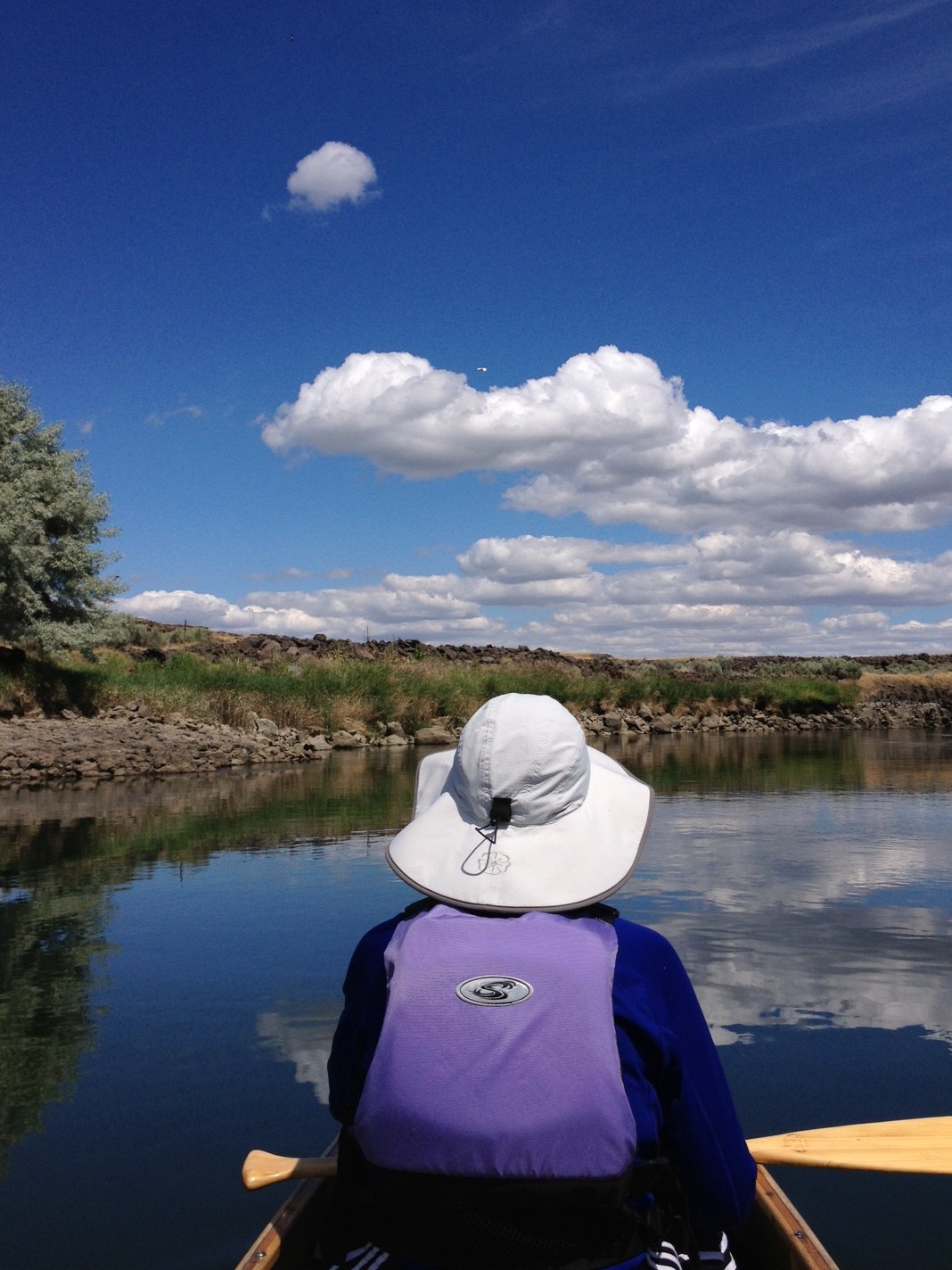
On Saturday morning we had coffee at a nice bookshop in Ephrata, then drove south on Highway 17. We bought some sandwiches to eat for lunch at the little deli, store, and tackle shop that's just up the road from Potholes State Park. Then we drove into the Seep Lakes Wilderness Area to the north end of Soda Lake, where we unloaded the canoe, paddles, and other gear. Jane stayed there with the boat at a shaded picnic table, with her book and a thermos of coffee. I drove the car down to the south end of Long Lake, then walked back on the maintenance road that runs along the canal joining Long Lake with Soda Lake. (The drive to Long Lake on gravel roads is a half hour, and the walk back to Soda Lake is about two hours, through beautiful coulee country made green by the water that seeps out of the Potholes Reservoir.)

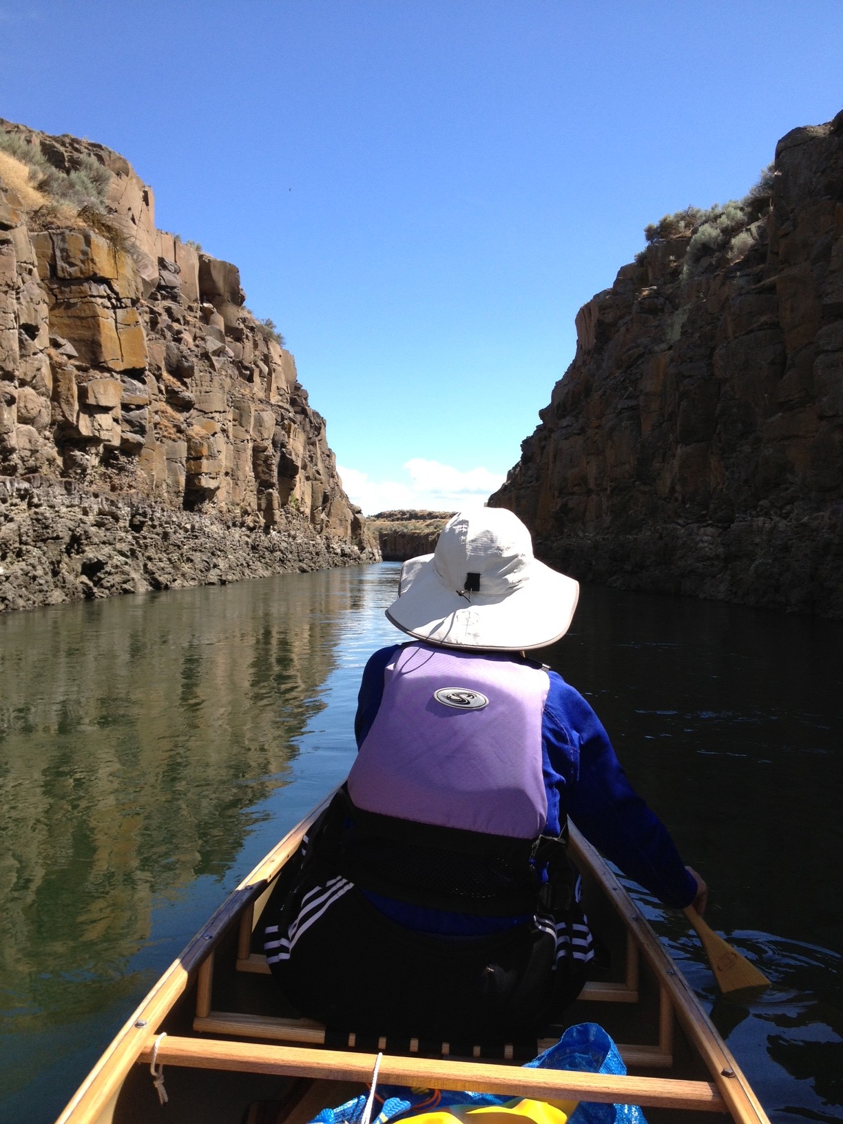
Jane and I put in at the north end of Soda Lake and paddled down to the dam at the south end. We portaged around the dam, then paddled down the Potholes Canal toward Long Lake. About a mile south of the dam the current increases as the canal narrows. For the next couple miles the canal is about 15 yards wide with low basalt cliffs on either side, the canal having been blasted right out of the bedrock. After reaching Long Lake we paddled to its south end, loaded the canoe and gear, and drove to the Tri-Cities where we stayed Saturday night. Sunday morning we visited Aunt Mabel McFadden and Aunt Monica McFadden, both now in their 90s.

We saw quite a few critters on this trip: a marmot on the island off Steamboat Rock; a coyote, three owls, a blue heron, and a great egret near Soda Lake; a wild turkey as we exited the north end of the Ellensburg Canyon on the drive back home.