North Carolina 2015
by Mike Thompson, 4/22/2015
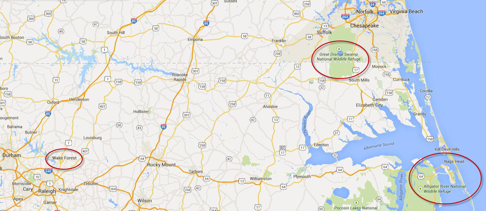
On Jane's spring break we flew to North Carolina to visit dear, long-time friend Wayne Hinkley near Raleigh, and to do some canoeing. It was great to get to spend time with Wayne again, and the paddling turned out to be really nice. Our travels took us from Wayne's place near Wake Forest, to Nag's Head on the Outer Banks, and just across the Virginia border to the Great Dismal Swamp
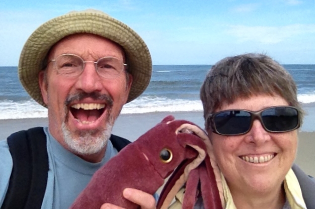
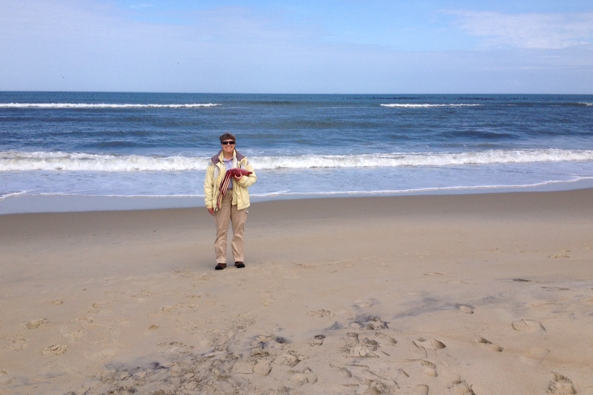
After a four-hour drive from Raleigh, we reached the Atlantic Ocean at Nags Head. There we paused for a couple happy snaps with Squiddy, our trusty adventure travel companion.
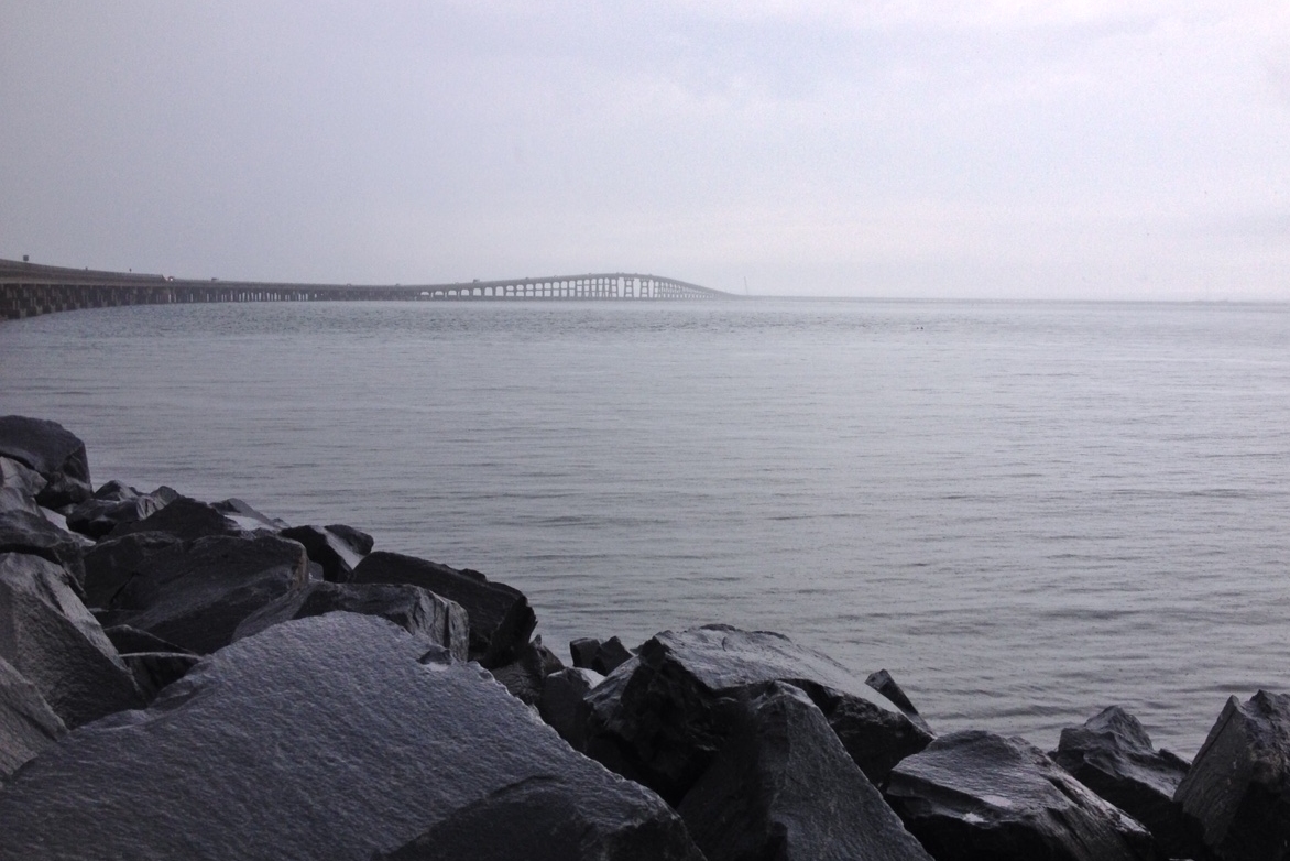
Next up was our first paddle, across Oregon Inlet and back. Oregon Inlet is the northernmost break in the great sand spit that is the Outer Banks. It lies south of Kitty Hawk and Nag's Head, north of Cape Hatteras, and connects the Atlantic Ocean with the large estuary known as Albemarle Sound. Having rented a 15-foot Mad River Explorer canoe that morning from Paddle Creek Outfitters, we put in at 4:30 PM at the Oregon Inlet Marina and paddled south toward the channel.
There's a long, elevated highway that spans Oregon Inlet, and when we turned to paddle underneath is we discovered there was way more ebb current than I had expected. (Low tide was at 4:00 PM that day, but it turned out that slack water wasn't until almost 8:00 PM. Note to self: check the current charts, not just the tide charts!) The current certainly added to the challenge of getting across and back. On the return trip we found ourselves right in the middle of a school of about a dozen gray bottlenose dolphins. (If you look really close at the photo below, you'll see two fins near the right edge of the patch of choppy water that runs across the middle of the picture.) Heading into the outgoing current, we paddled past a big US Army Corps of Engineers dredge that was clearing the channel and, with a following wind/chop, crossed back to the north side.
About half way across a returning fishing boat paused to ask if we were OK. Then, just before we reached shallow, calm water, a Coast Guard lauch hailed us and asked the same thing . The fishing boat must have radioed the Coast Guard and suggested they look us over. It was nice that the locals were concerned with our safety, but nicer still that none of them insisted on "saving" us. That can happen sometimes when you don't want it to - once the rescue community gets spooled up it's almost impossible to stop the momentum.
A half mile from the boat launch we found ourselves over a shallow, sandy flat. It became so shallow that we had to get out of the boat and walk for about a hundred yards in just a couple inches of water, towing the canoe behind us. When we reached water deep enough to float the boat with us in it, we jumped back in and finished the paddle back to the car.
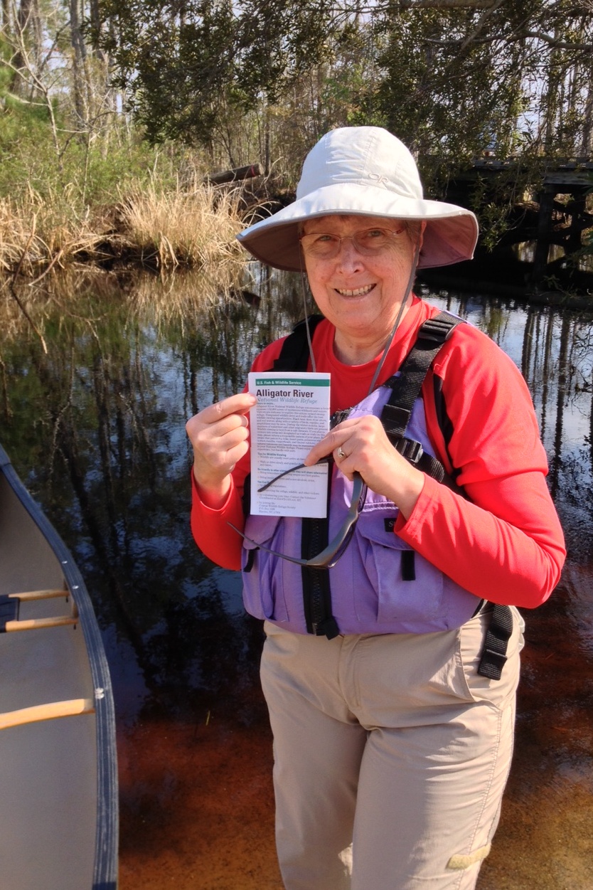
We stayed in a hotel at Nag's Head that night. The next morning was a lazy one, with Jane doing some reading and Mike doing some studying while we looked at the beach through our hotel room window. In the afternoon we drove a half hour west to the Alligator River. There we paddled in calm water the color of tea through many narrow, twisty channels. We did not see any alligators. (And we were OK with that!) There are huge stretches of calm, protected water here in northeastern North Carolina, in and around the Albemarle Sound. You could paddle out here for a year without ever covering the same stretch twice.
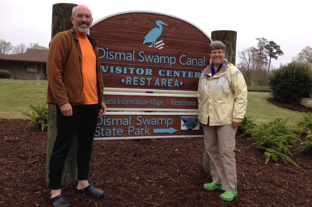
Thursday morning we drove away from Nag's Head, headed north and west. We stopped for coffee and pastry at the Muddy Waters coffee shop in Elizabeth City, which we highly recommend if you're ever in town. Then we drove north to the Great Dismal Swamp, which spans the North Carolina/Virginia border. Our first stop was at the visitor's center. (Yes, this swamp has a visitor's center.) Inside we got maps and bought some locally grown/roasted peanuts, but couldn't find any Dismal T-shirts that we really liked.
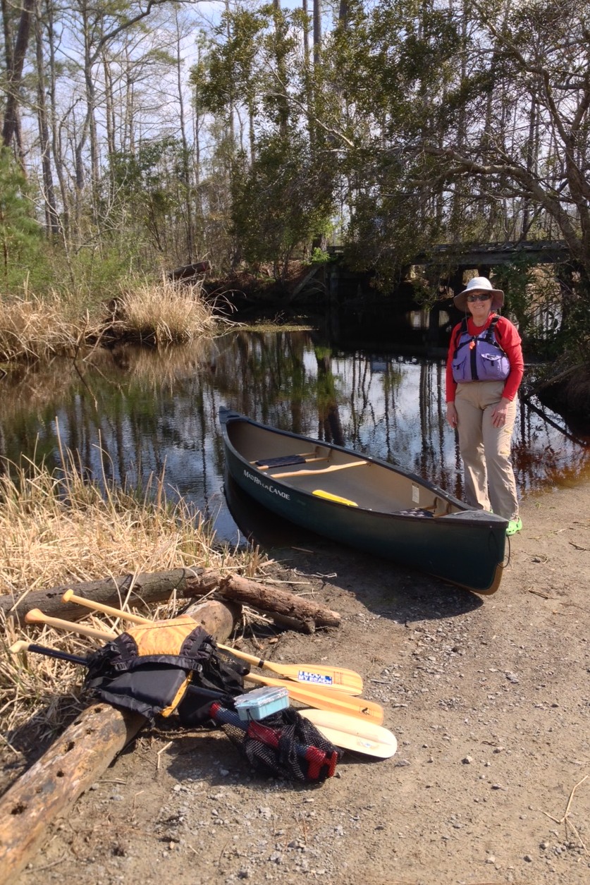
The second picture below shows Jane standing next to the Dismal Swamp Canal. The canal runs 22 miles north/south and connects North Carolina's Albemarle Sound with the Chesapeake Bay, forming part of a great east coast inland waterway. This area has an interesting history. George Washington first surveyed a section of the Dismal Swamp in 1763, then formed a company to drain part of the swamp for farmland, and suggested digging the canal to promote transportation. The Dismal Swamp Canal Company started that project in 1793, and it took twelve years to dig the canal by hand, mostly with slave labor.
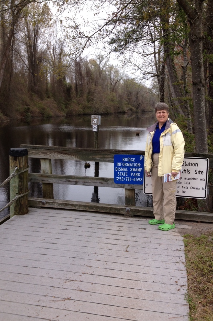
From the visitor's center we drove north a couple miles to Ballahack Road, where there's a small boat launch, and got on the water at 1:30 PM. We paddled about a mile south on the Dismal Swamp Canal, then turned west to follow the Feeder Ditch about 3 miles to Lake Drummond, which lies right in the middle of the Great Dismal Swamp. The "ditch" was about thirty yards wide, perfectly calm, and absolutely quiet. We didn't see another soul in there all afternoon. With Squiddy in the bow, we paddled through the beautiful stillness for over an hour.
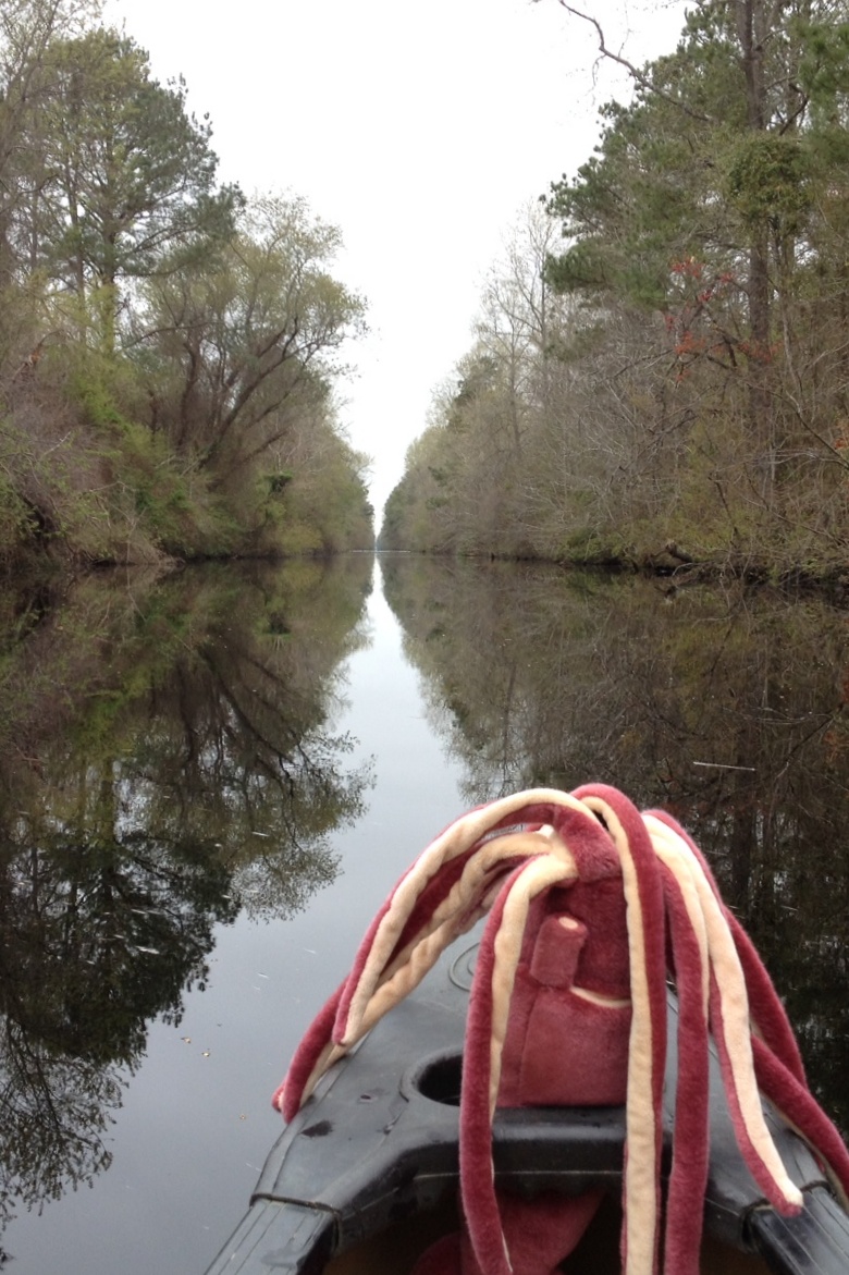
About two hundred yards from the entrance to Lake Drummond there's a spillway, with a drop of about ten feet from lake level to canal level. It's a neat spot, with big, metal, hand-operated gears to raise and lower the pannels of the spillway, a little old shack for the keeper, a small tram to transport boats between the upper and lower waters, and some picnic tables. We paused there for lunch before paddling onward into Lake Drummond.
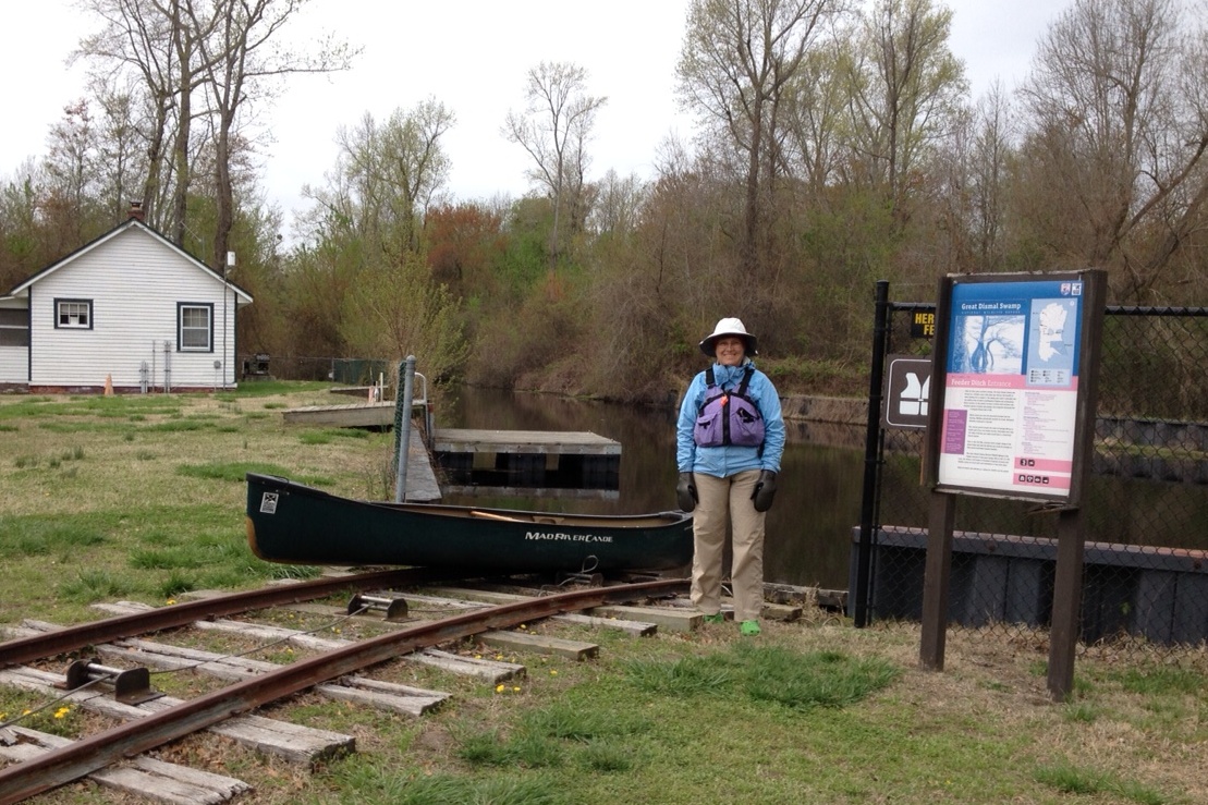
Just as we entered Lake Drummond there was a sudden downpour,
which made for a picturesque entrance but fortunately didn't last
too long. Then we we paddled north along the shore of the lake
for about a half-mile, admiring the cypress trees that were
growing right out of the water. 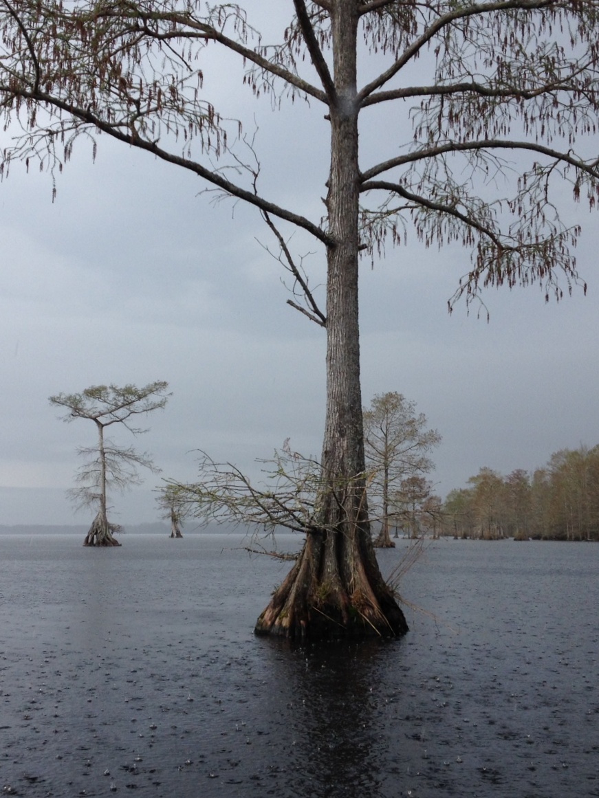
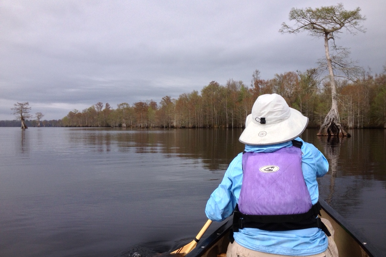
The timing of our trip made for interesting conditions. Having experienced one of its longest and coldest winters ever, North Carolina was just starting to get some warm spring days with highs in the 60's and 70's. The dafodills and fruit trees were in bloom, with the deciduous trees in the early stages of leafing out. We were pleasantly surprised that we did not come across a single mosquito or other flying bug. The down side is that we did not see a single butterfly, for which the swamp is famous. We also didn't see a lot of birds, so I think we must have been too early for the northern bird migration. That day we saw one heron, a couple cormorants, a blue kingfisher, a couple bright red cardinals, a goldfinch, a number of vultures circling high overhead (they seem to be ever-present in North Carolina), and a couple deer. But other than that, the swamp was silent.
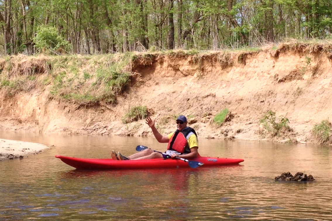
The next day drove back to Wake Forest to visit with Wayne again. He had organized a trip for us down the Neuse River, which is very close to where he lives. Here's a photo of Wayne in a sit-on-top kayak, taken from the canoe that Jane and I were in. It was our fourth and last paddle of the trip and a nice way to finish, as we lazily made our way down the Neuse on a warm spring day.
