Whidbey Island & Olympic Peninsula 2016
by Mike Thompson, 8/20/2016
Jane and I took a mini-vacation in our own Pacific Northwest back yard. I took Friday and Monday off from work, we strapped the canoe on top of the car, and we spent a four-day weekend on Whidbey Island and the Olympic Peninsula. Here's a map of some of the spots that we visited, among them treasured, fave locations in this beautiful area.
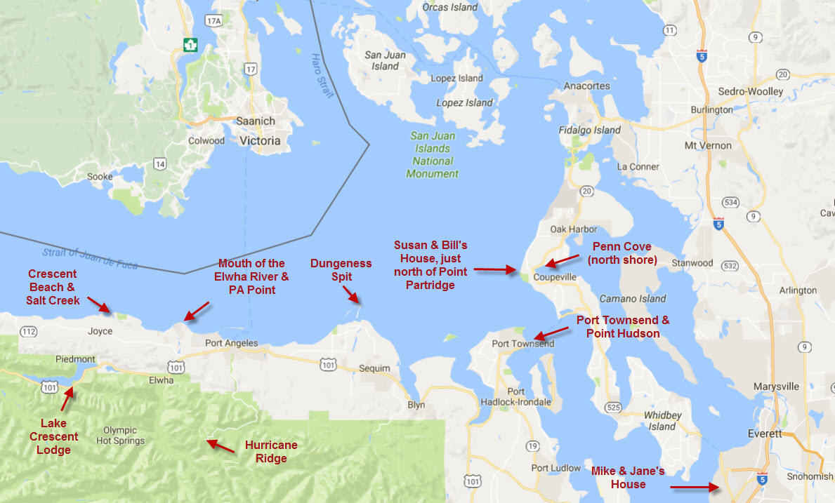
Friday morning we caught the Mukilteo/Clinton ferry and drove up to Susan and Bill Goodman's beautiful house, which is on Whidbey Island just west of Coupeville, overlooking the east entrance to the Strait of Juan de Fuca. Their home has been the site of many wonderful family gatherings over the years, and we've taken advantage of their hospitality many times to visit with them, paddle along the shoreline to Point Partridge or over on Penn Cove, and decompress from the world of work.
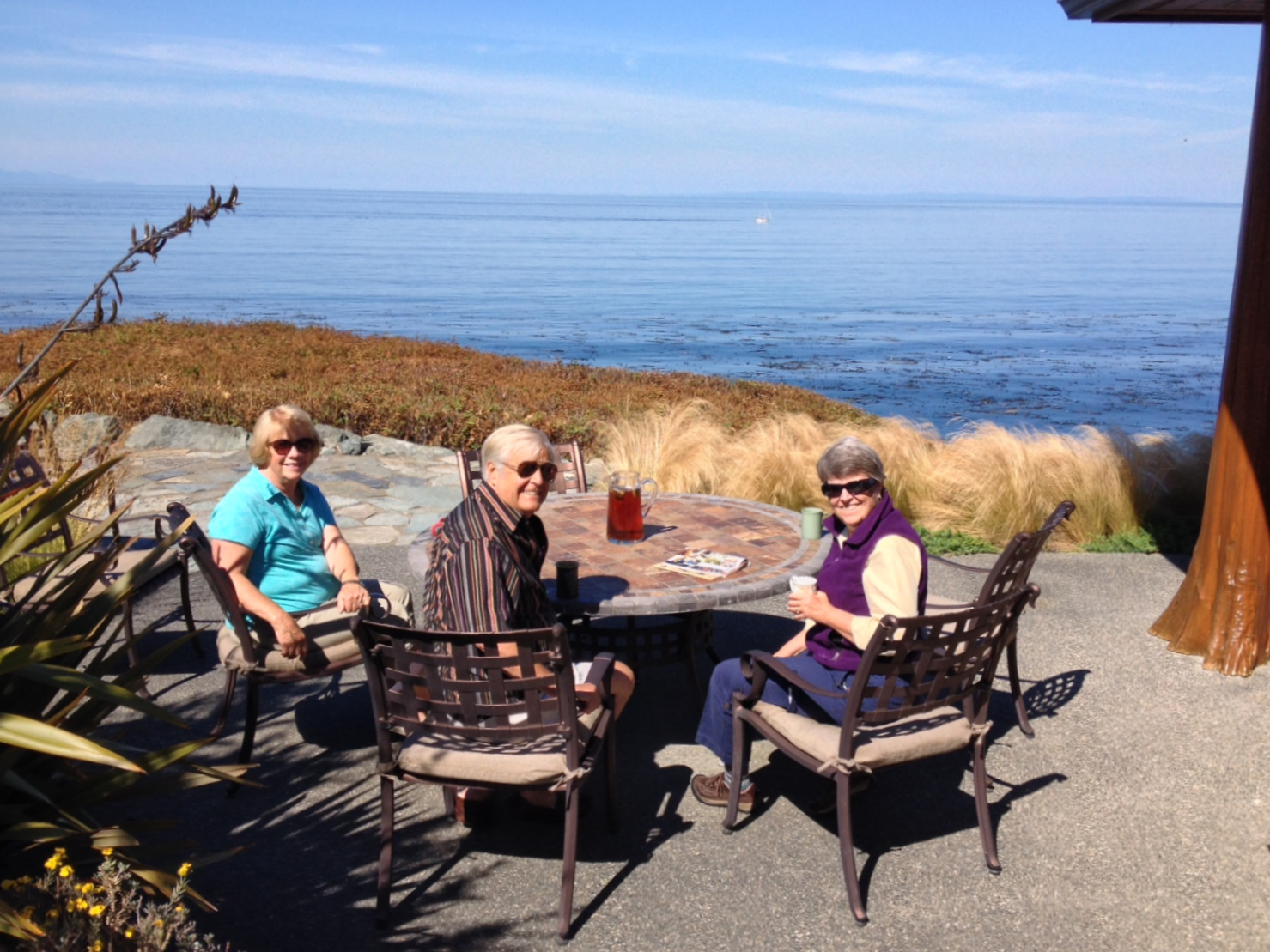
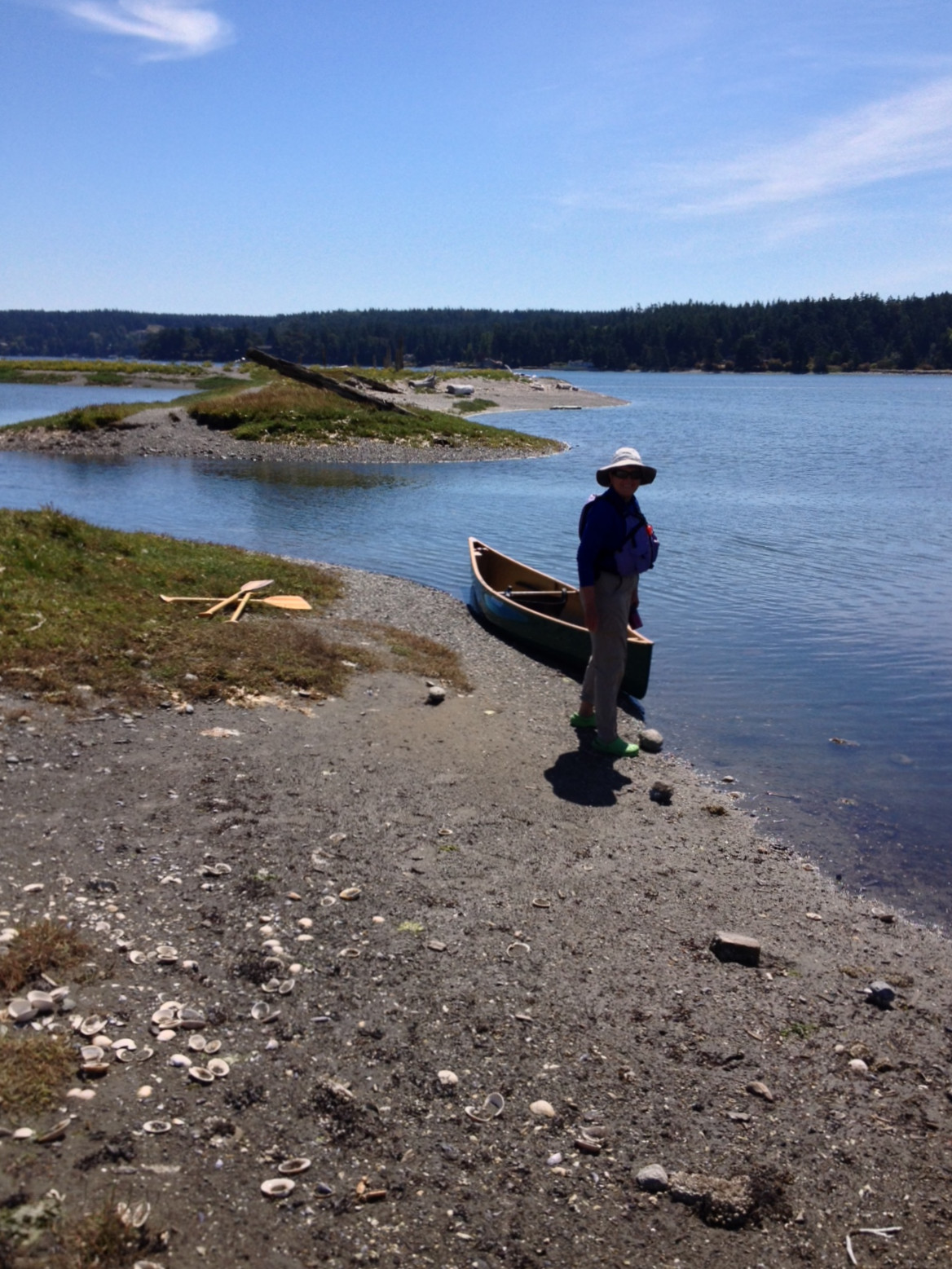
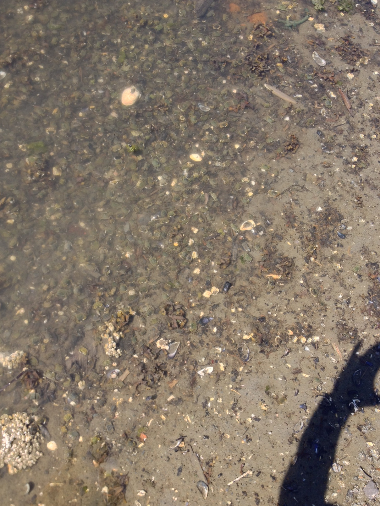
It was a warm, clear day with only the slightest breath of wind and a small west swell coming down the Straits. I put in right below their house (Jane decided not to come because there was a bit of surf) and paddled south just past Point Partridge and back, catching a couple waves along the way. Then Jane and I drove two miles east across this narrowest part of the island, put in at the west end of Penn Cove, and paddled along its northern shore. We paddled east for about forty-five minutes and then paddled back, gliding through the clear, calm water while scanning the shallow bottom for marine life. Right at the put in, in a little tide pool no more than six inches deep, we found hundreds of tiny crabs with shells no more than an inch across. At first we thought the bottom of the pool was covered with small rocks, but a closer inspection revealed that the "rocks" were actually crabs, some stacked on top of one-another. I assume they were babies, fairly recently hatched and living here in the shallows until they grow big enough to migrate out into deeper water.
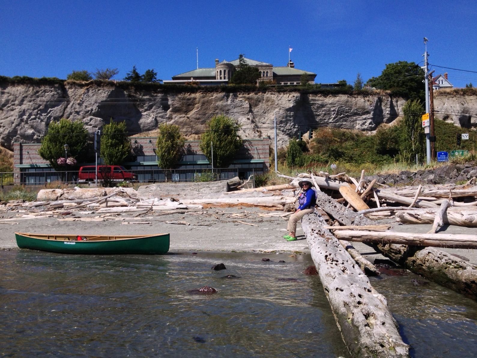
We spent Friday night as Susan and Bill's, and on Saturday morning caught the Fort Casey/Port Townsend ferry to the Olympic Peninsula. Had lunch in PT and visited the terrific new wooden boat center at the north end of town. There were a half-dozen boat building projects under way at the center, including a nearly-complete, eighty-one-foot mast that they're building for some big sailing ship. We put the canoe in the water and paddled along the PT water front, through the north marina, and just around Point Hudson. Then we made the drive west to Sequim, where Jane had booked us a hotel for Saturday and Sunday nights.
After dinner in Sequim we drove north to the public boat ramp at Dungeness Bay. From this boat ramp it's only a short paddle to the arm of the spit that extends from its midpoint to the south. Even on an evening like this one, with a brisk breeze blowing out of the WNW, it would be possible to paddle across the gap and then, in the calm water just to the lee of the spit, paddle out to the lighthouse. Then we drove about a mile farther west to a short jetty with a parking lot, where we watched a guy kiteboarding back and forth on Dungeness Bay, about 50 yards from shore.
Sunday morning after a late breakfast we drove west, through Port Angeles and then north down Lower Elwha Road, to the Sklallam reservation and PA Point. I surfed out here a few times in the late 1980's and early 1990's, and wanted to see what changes had occurred since they took down the Upper and Lower Elwha River dams a couple years ago.
When we first reached the end of the road in our car I hailed a couple surfers, out here in hopes of catching the beautiful but fickle left at PA Point. On their advice parked in the side yard of a house near the point, leaving $5.00 under the foot of a ceramic frog on the doorstep. (So it is that that surfers gain access to waves at non-public beaches, and surfer-friendly residents gain a little extra income.) Then we walked west on the newly-formed beach for twenty minutes to the new mouth of the Elwha, which is a good hundred yards beyond the rocky shoal where I surfed the river mouth here twenty years ago.
Wow - the removal of the dams, and release of the sediment that had been accumulating on the lake bottoms for the past century, has changed this place almost beyond recognition! Twenty years ago, when I was exploring the Straits looking for surf spots, this was a rocky shoreline, devoid of sand other than a couple places like Crescent Beach and Dungeness Spit. I remember wading into the Elwha River near its mouth and floating the rest of the way down on my surfboard, while nervously scanning the shallow, rocky bottom lest my board get dinged by a rock. But now the sediment released by the removal of the dams has formed a huge, sandy point the river's mouth, along with a brackish water estuary just behind the shore. It's a barren estuary at present - just water-sculpted sand topped with drift logs - because there hasn't yet been enough time for the area to stabilize and then for plants to claim it. However, shorebirds are already taking advantage of the calm, shallow waters of the new estuary, and on our walk out to the new river mouth Jane and I passed a big eagle, perched on a drift log and picking away at a fish carcass.
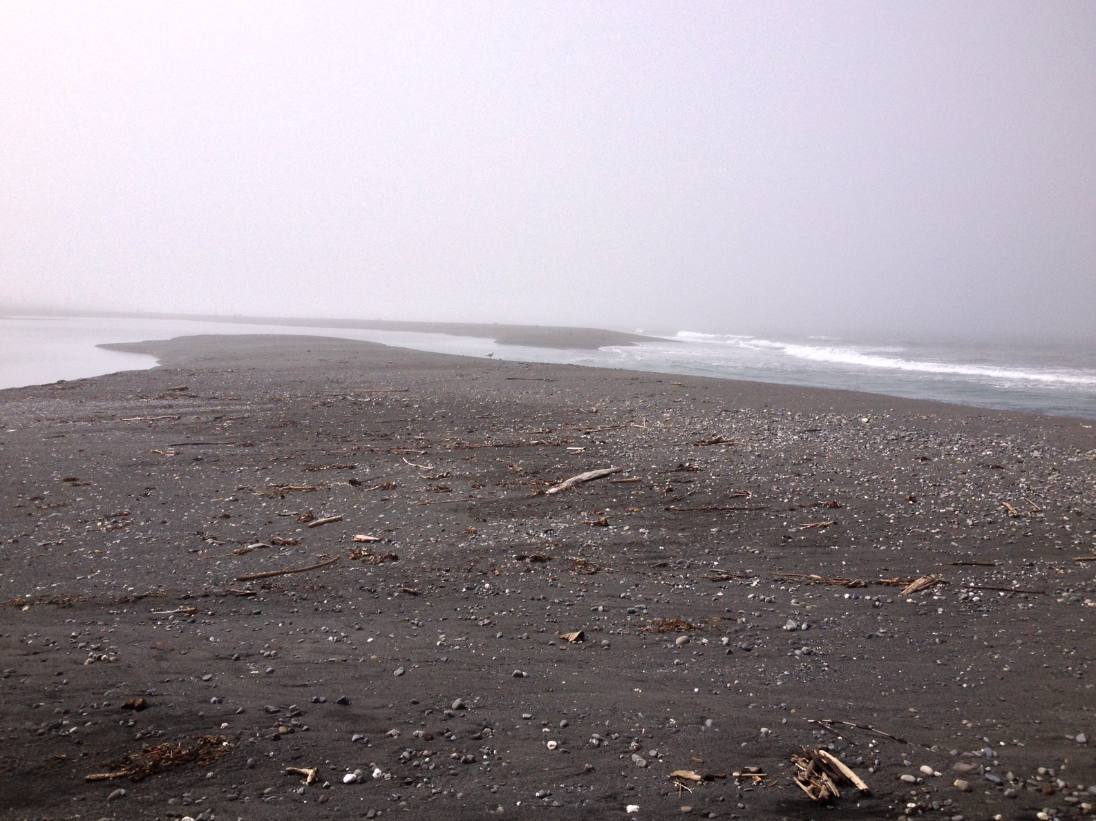
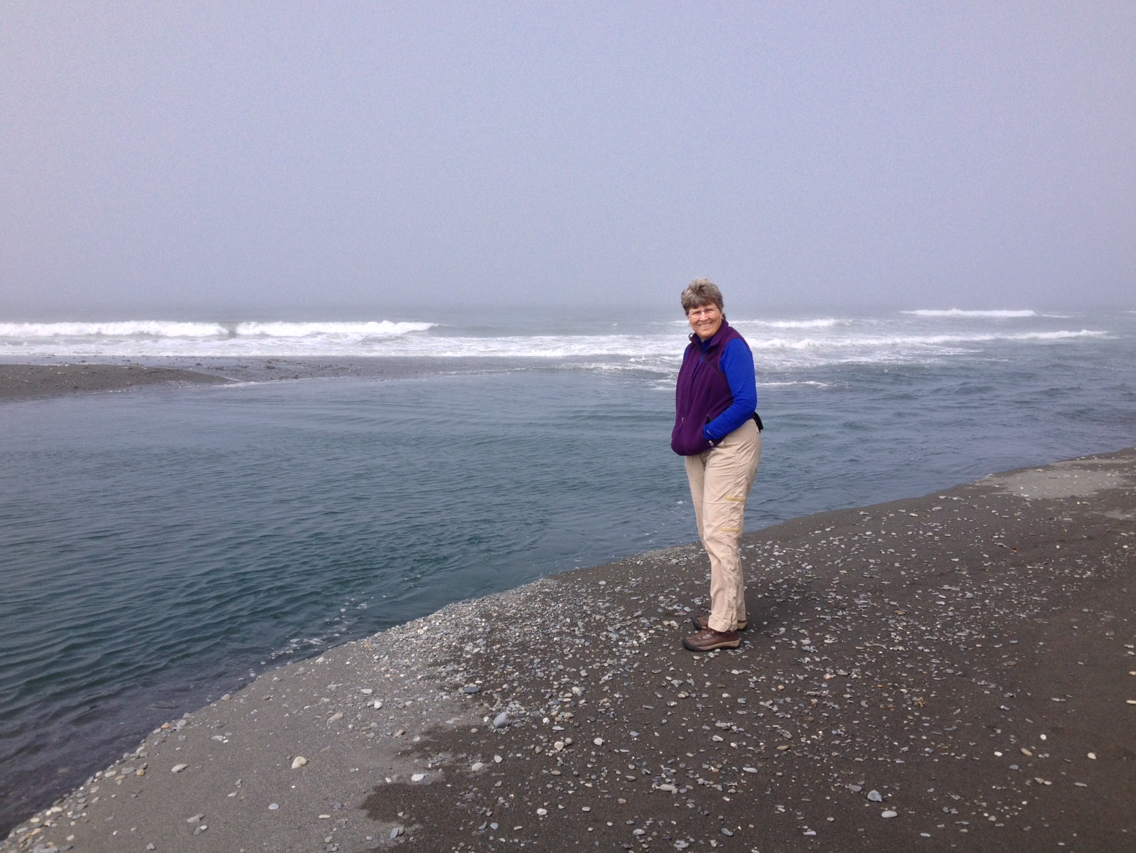
In mid-August, with the river's flow at its annual minimum, the gap in the sand where the river meets the sea is only about 20 yards wide. Here we watched the clear, green river water angle its way into the Straits, while gray/white surf broke in the shallows extending from the end of the sand spit. How fascinating to have seen this transformation! It's rare when Mother Nature performs such a dramatic change to the landscape in the course of one human lifetime. I saw this place as it had been for at least the better part of a hundred years, Jane and I visited the soon-to-be-removed Upper Dam as part of a science teachers' class back in about 2003, and now we've stood on the sandy spot that is the new mouth of the Elwha River.
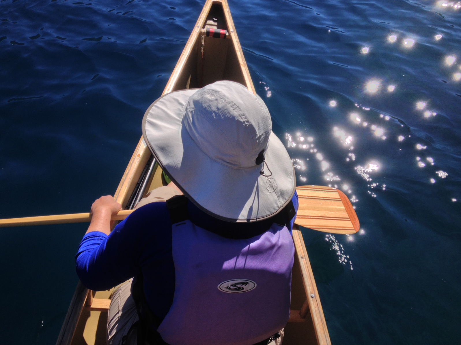
Then we got back in the car and drove out to Lake Crescent, where we had lunch in the historic Lake Crescent Lodge, and then went for a paddle along the shore and across the lake and back. Here the lake water is the most brilliant shade of blue/green. (Hate to say it, but it reminds me of Ty-D-Bol blue.)
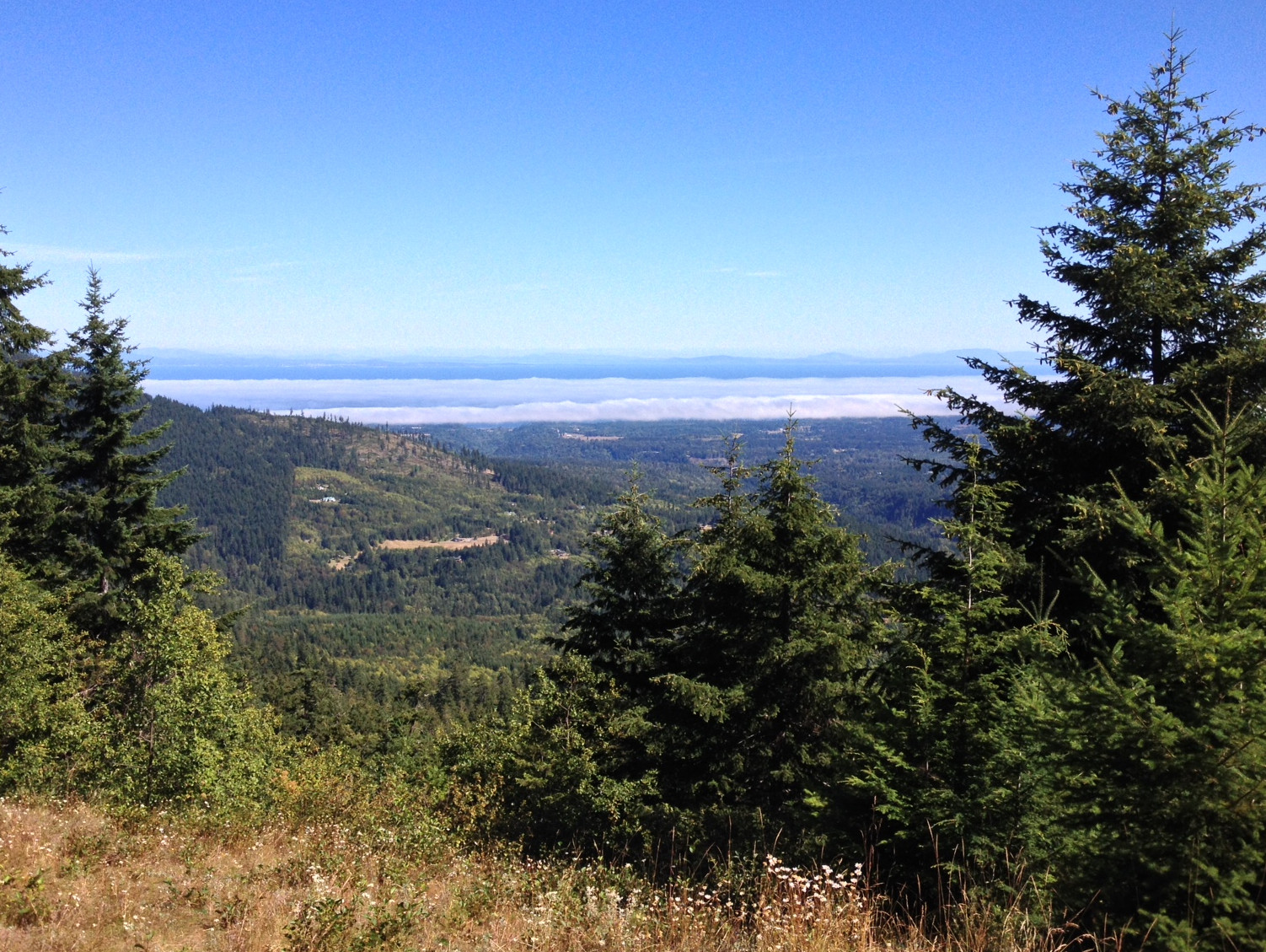
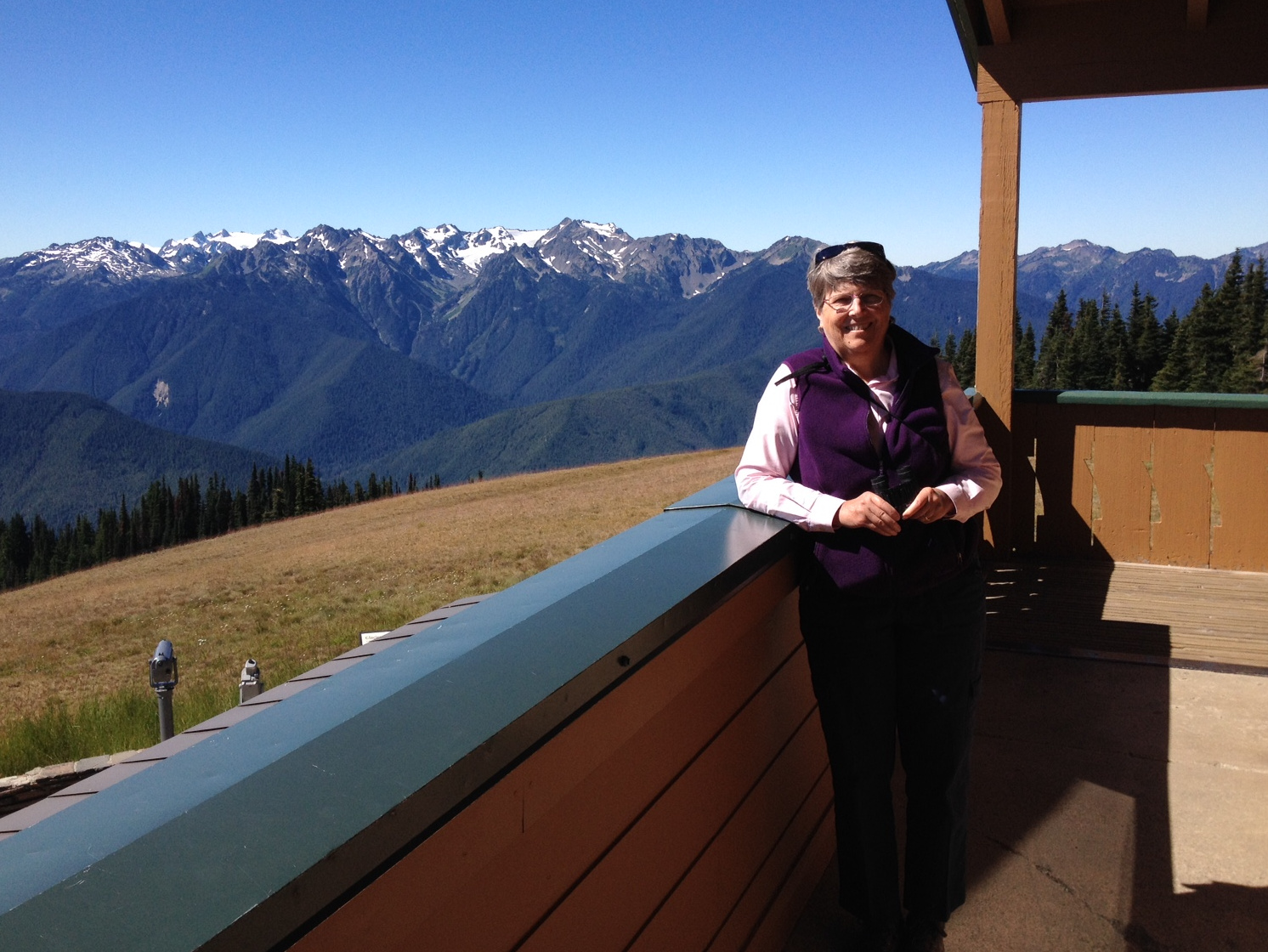
Monday morning we woke up in the fog, which has been hanging along the shoreline most of the weekend. It's bright sunshine and blue sky everywhere, except for right along the water. We had breakfast and then drove up to Hurricane Ridge, the first time up there for both Jane and I. Neat to be able to see deep into Olympic National Park to the south, and to be able to look down on the Strait of Juan de Fuca and see Port Angeles, Victoria over on Vancouver Island, and Mt. Baker to the NE.
Now it's home again, home again by way of the Kingston/Edmonds ferry, and back to work at Boeing for me tomorrow. Jane's summer vacation will end soon, as the first day of school is fast approaching.