Rockies 2017
by Mike Thompson, 7/23/2017
Having meant to drive east to see the Rocky Mountains for many years, we decided it was time to finally do it. So we loaded up my little, 3-cylinder Mitsubishi Mirage with the camping gear, strapped the Wenonah canoe on the roof racks, and headed out for a week-long road trip.
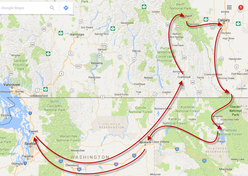
Day #1 we got as far as Cranbook, BC. Day #2 we drove north to Radium Hot Springs, then took Highway 93 into the mountains toward Banff. For the past week there had been many wildfires burning in eastern BC, including one billowing smoke just on the other side of a ridge we passed on our way in.
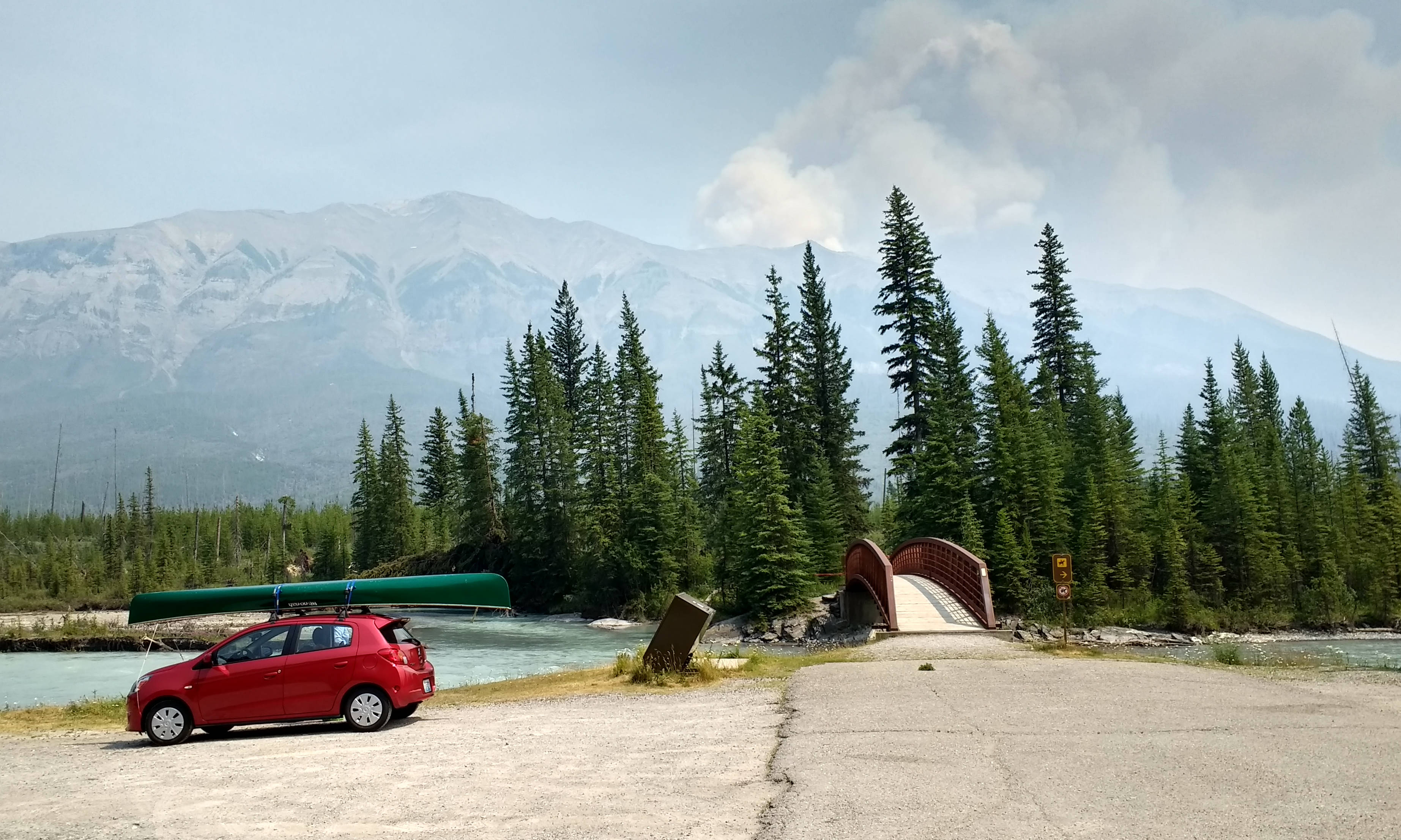
Driving through the Rockies is like driving through the Cascades, except that everything has been super-sized. The valleys are wider, the mountains are bigger, and more of the mountains are above tree line so there's lots more exposed rock. Huge rock faces soar above.
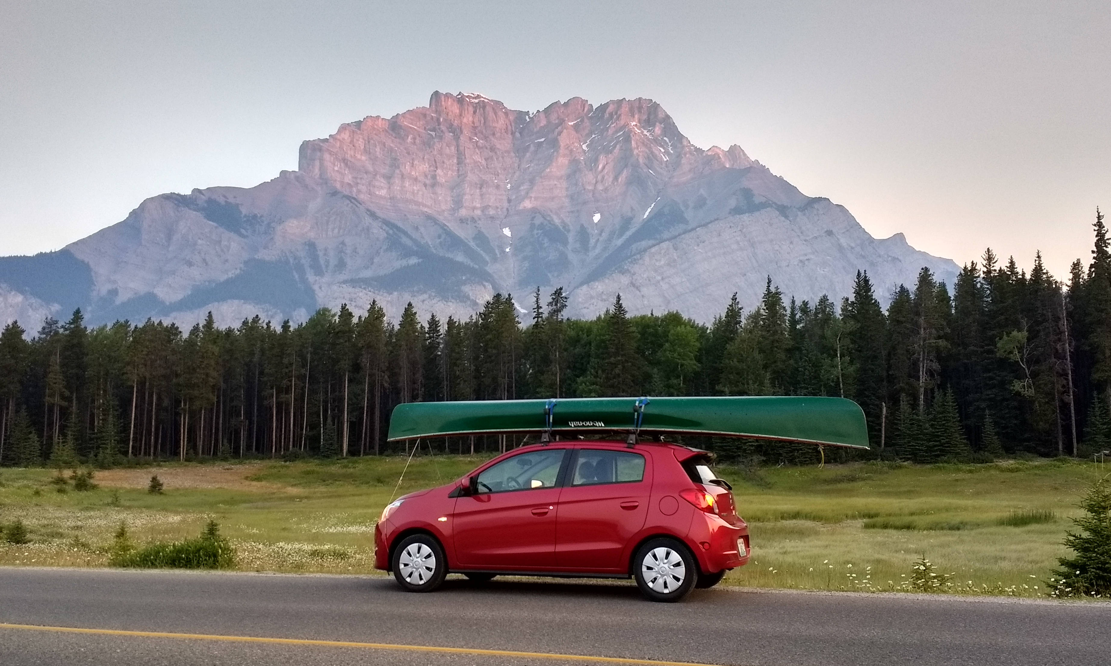
We had dinner in Banff, took a really lovely paddle on an arm of Two Jack Lake that extends south to a little powerplant, and then crawled into our sleeping bags at Two Jack campground. Got up early the next morning, grabbed coffee in Banff, and drove north to Lake Louise, hoping to get there early enough to enjoy the rising sun and to be a step ahead of most of the tourists.
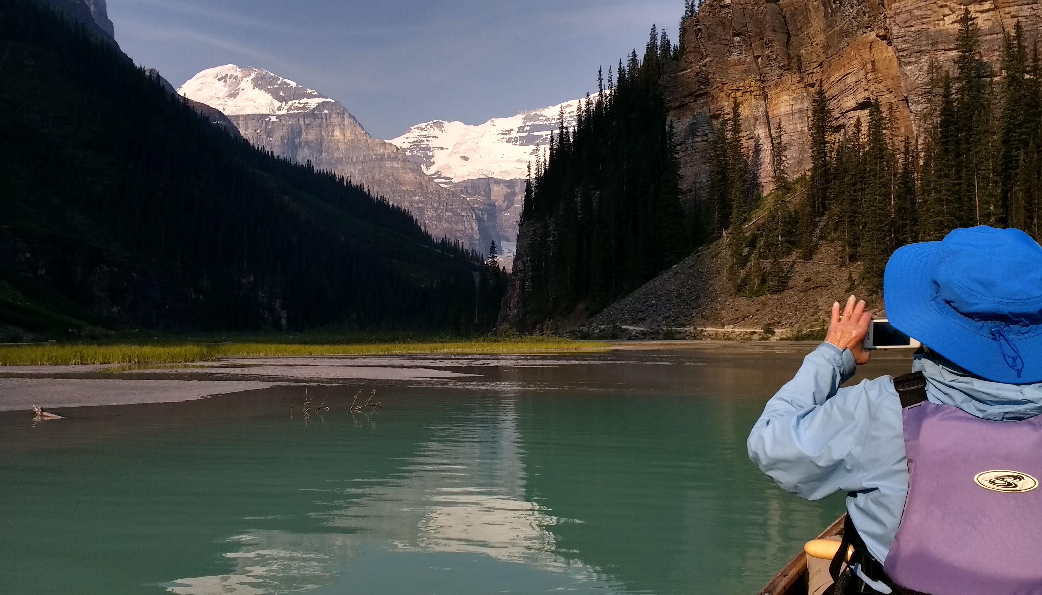
Lake Louise is quite the setting, that's for sure. The water is milky green, flowing down from glacier-covered peaks just to the west. We slipped the canoe onto the lake's glassy surface, the first boat in the water that morning, and paddled to the lake's west end enjoying spectacular views all along the way.
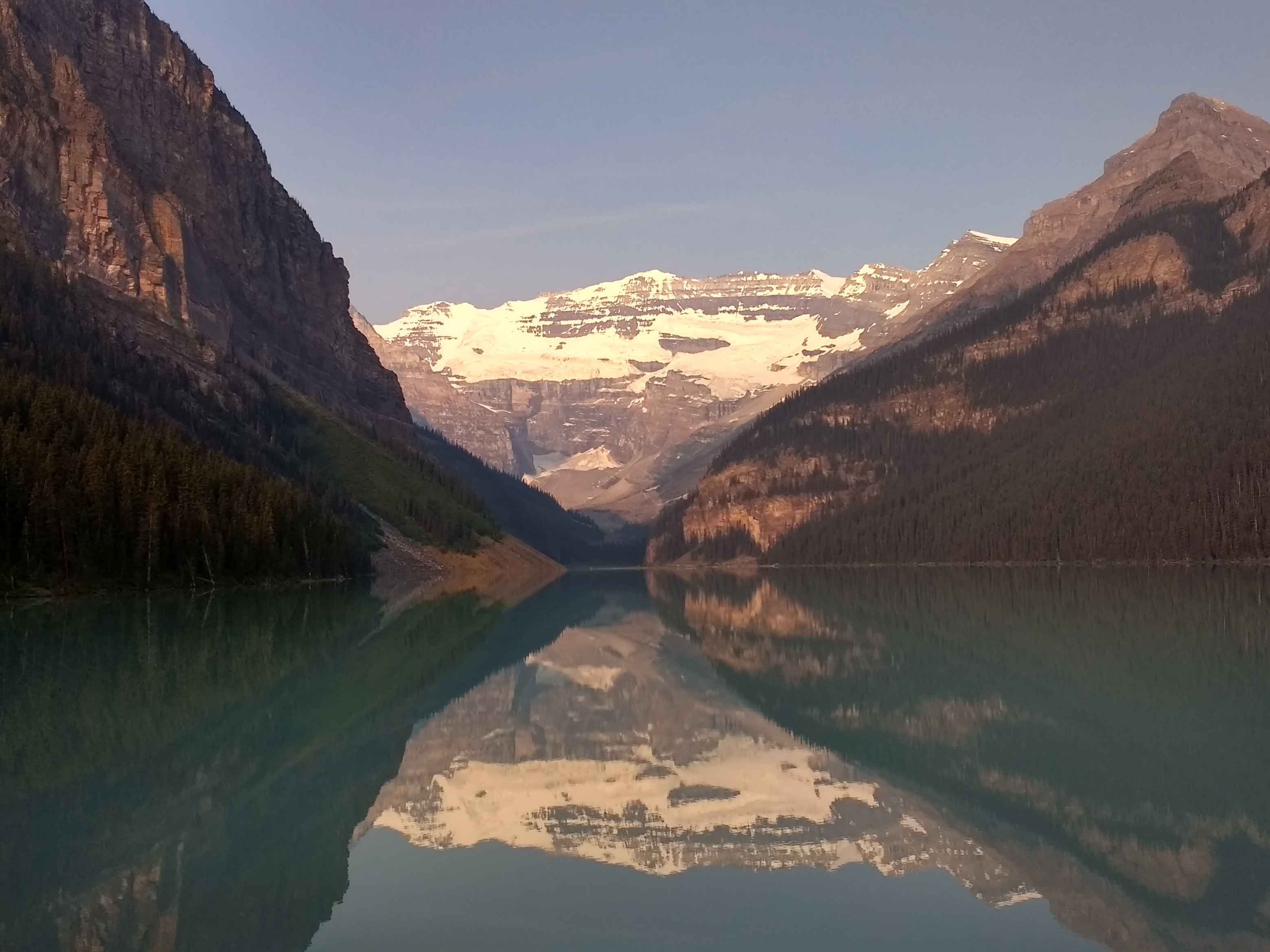
Absolutely breathtaking, in anybody's book!
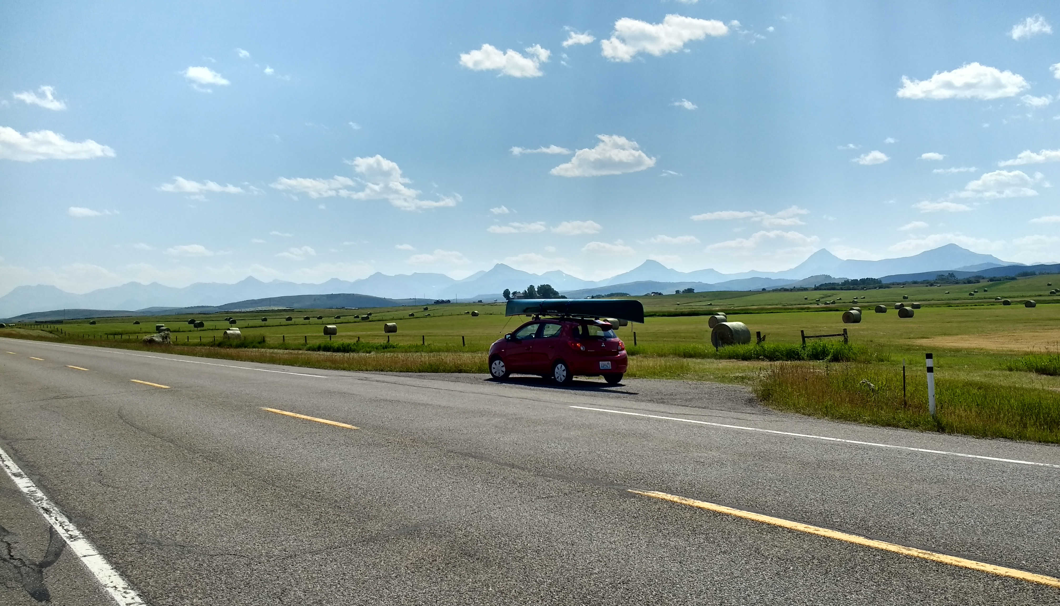
Next we drove east, down from the mountains and onto the plains of Alberta, and spent a night in a hotel in Calgary. The following morning we headed south toward Waterton Lakes National Park. Instead of taking Highway 2, the main road south out of Calgary, we took Highway 22, which runs just along the east side of the Rockies. This back road turned out to be a great choice, as if offered views of wide-open grasslands with the Rockies in the background. Very, very few people out here - just lots of beautiful country and open road.
Waterton Lakes is an arm of Glacier National Park that extends north across the Canadian border. We stayed there because I wasn't able to find a campsite in Glacier, but the next time we're up we'll be sure to stay at Waterton Lakes again. We put up the tent in a terrific, tents-only section of the campsite on the south end of Waterton Village, on a nice, flat bit of mowed grass, within easy walking distance of our car and of a restroom building with heated showers. Not exactly roughing it, but a very, very nice way to do car camping with a tent.
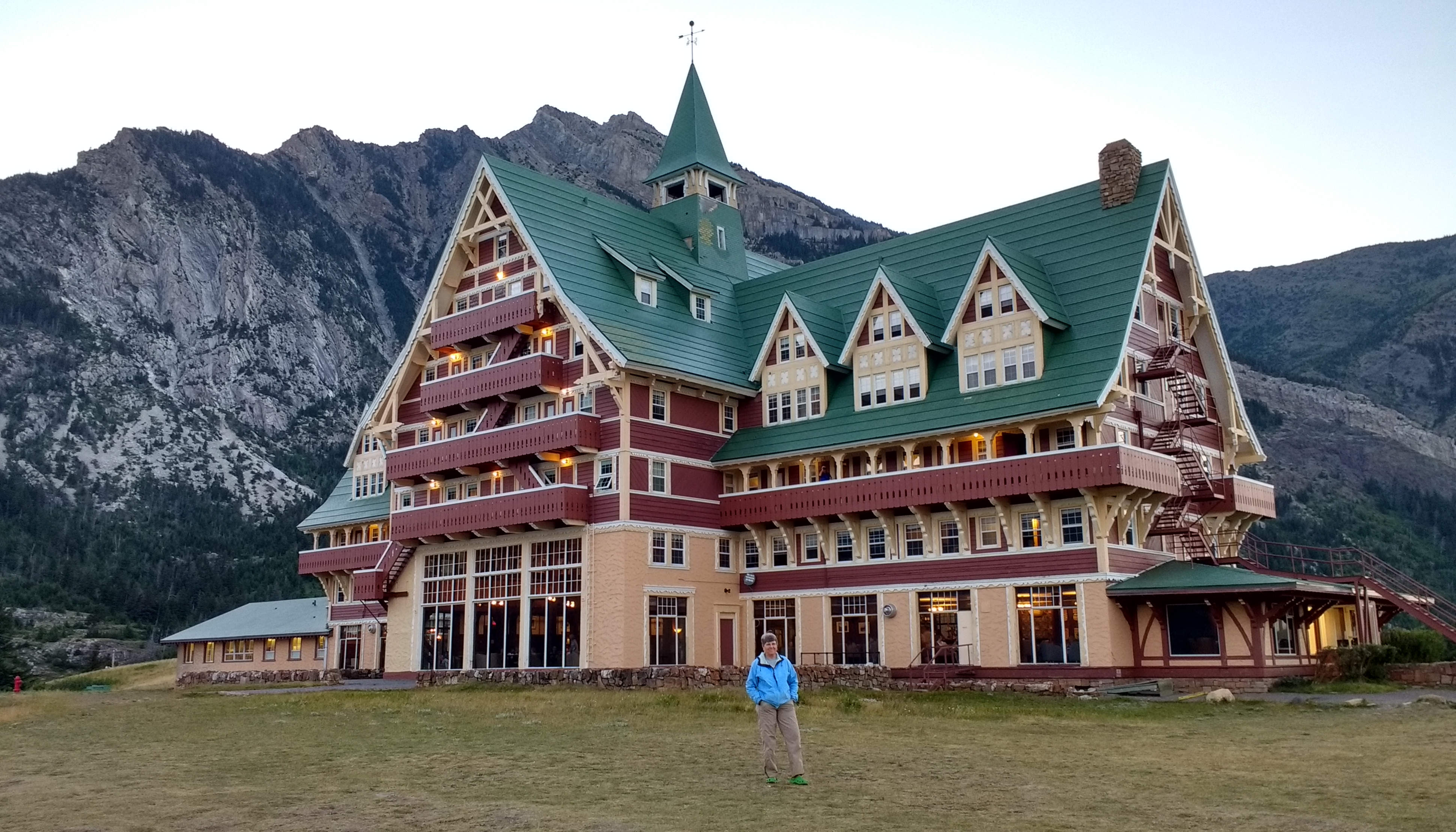
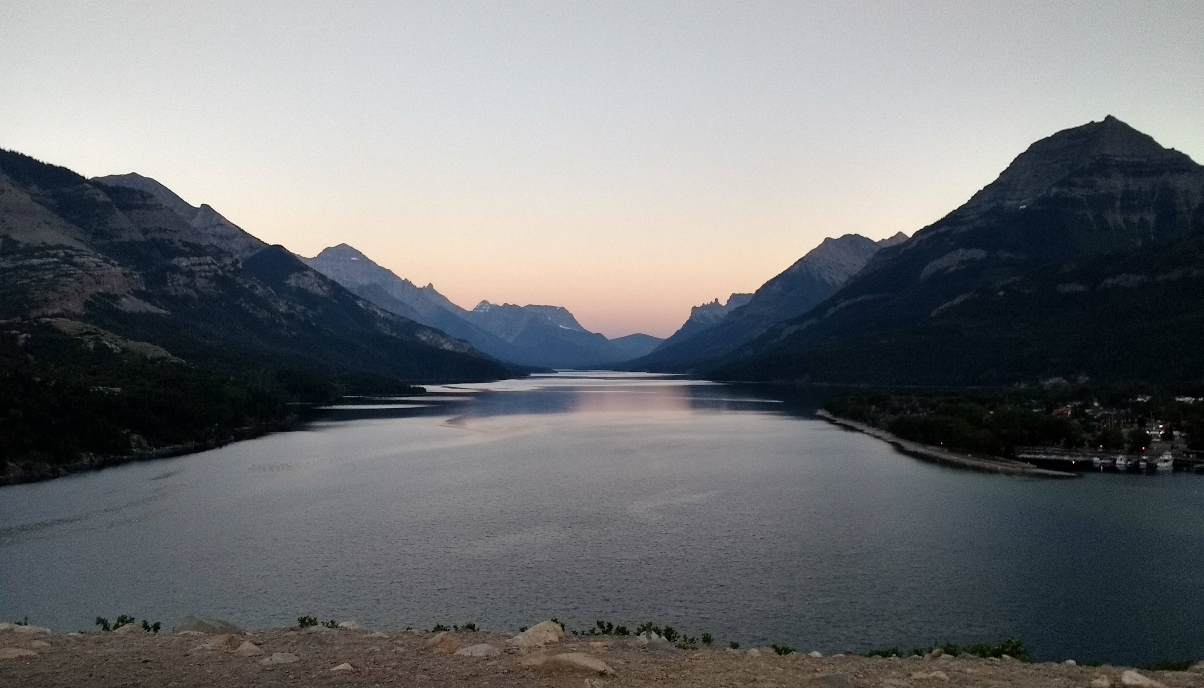
Just south of the village, overlooking the south end of the lake, is the Prince of Wales Hotel. It's one of the grand hotels built in the 1920's by the Great Northern Railway. The first picture is of Jane standing in front of the hotel. The second picture is looking the other direction, taken right from where Jane is standing.
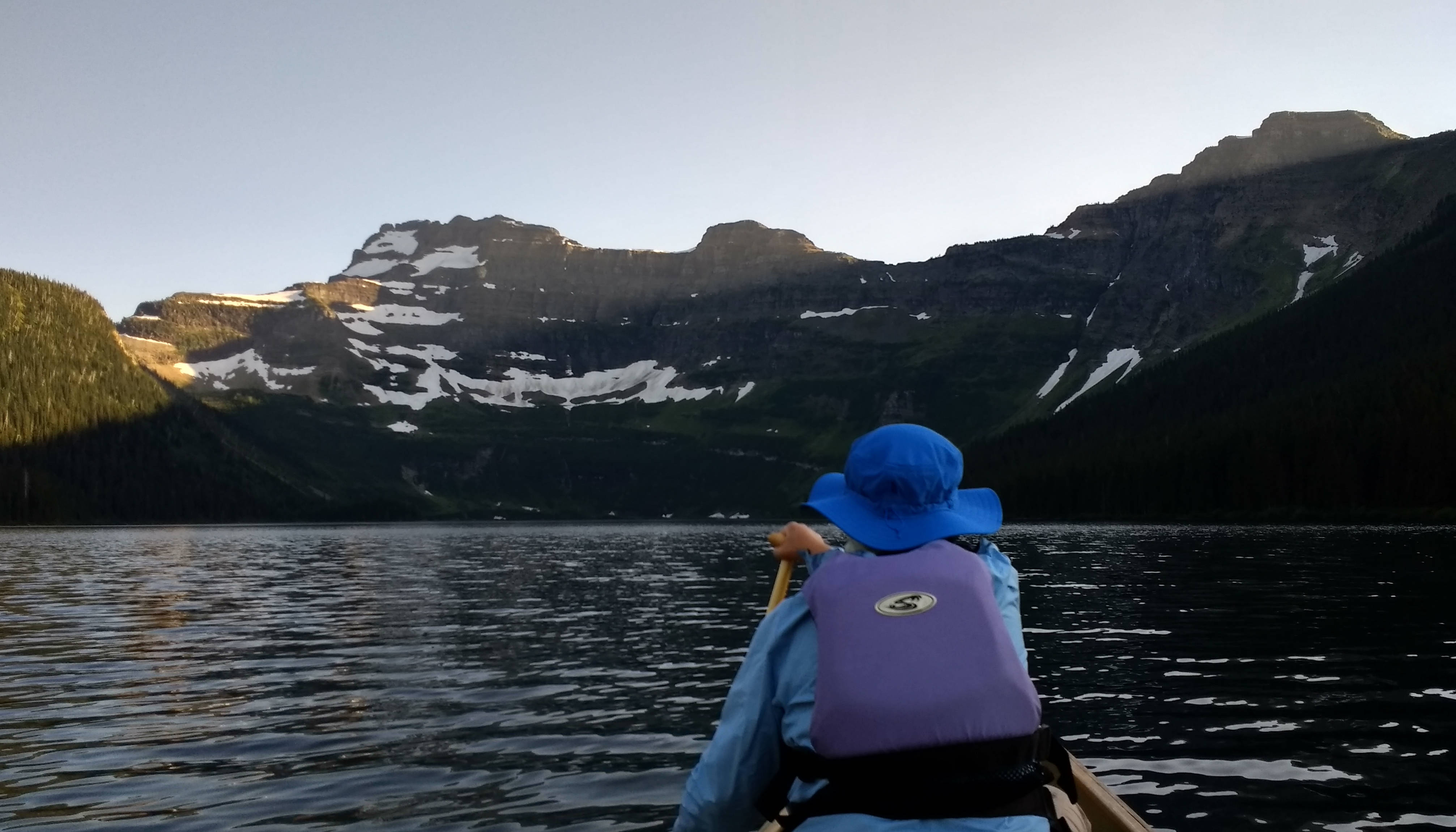
Just before dark we drove up the valley of Cameron Creek to Cameron Lake, the south shore of which is actually across the border and inside the US. We paddled the length of the lake, enjoying mountain views only slightly less spectacular than those at Lake Louise.
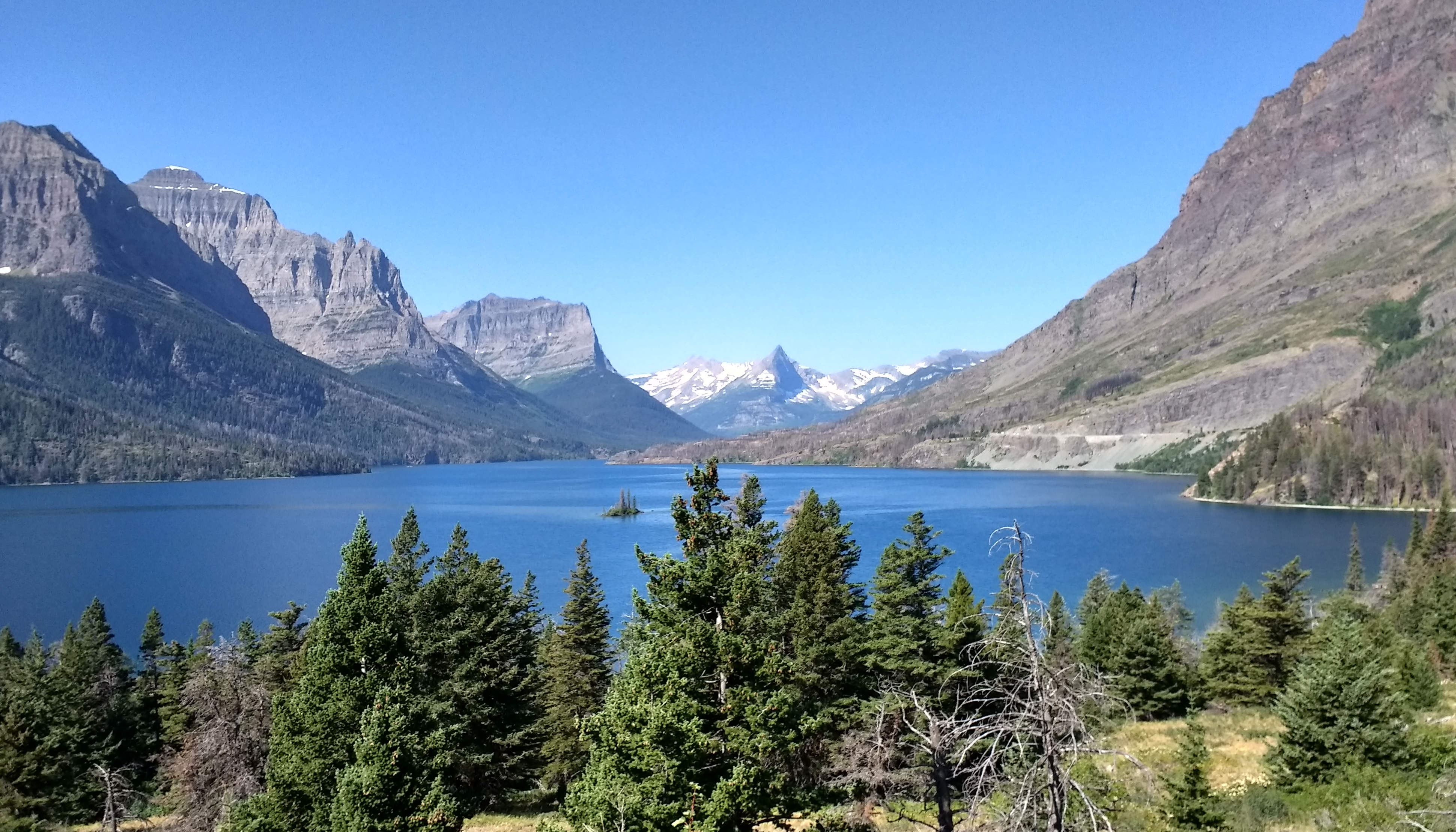
The next morning we headed south to Saint Mary, which is at the east entrance of Glacier National Park on the famous Going-to-the-Sun Road. The road is famous for good reason, and thankfully we had a perfect morning to enjoy the drive. Spectacular views to the west, both along the shore of Saint Mary Lake and as we neared Logan Pass. That was followed by a pretty hair-raising drive down the other side on a skinny, shoulderless roadway with rock cliffs on the right and a near-vertical drop on the left. It's a drive that's not soon forgotten!
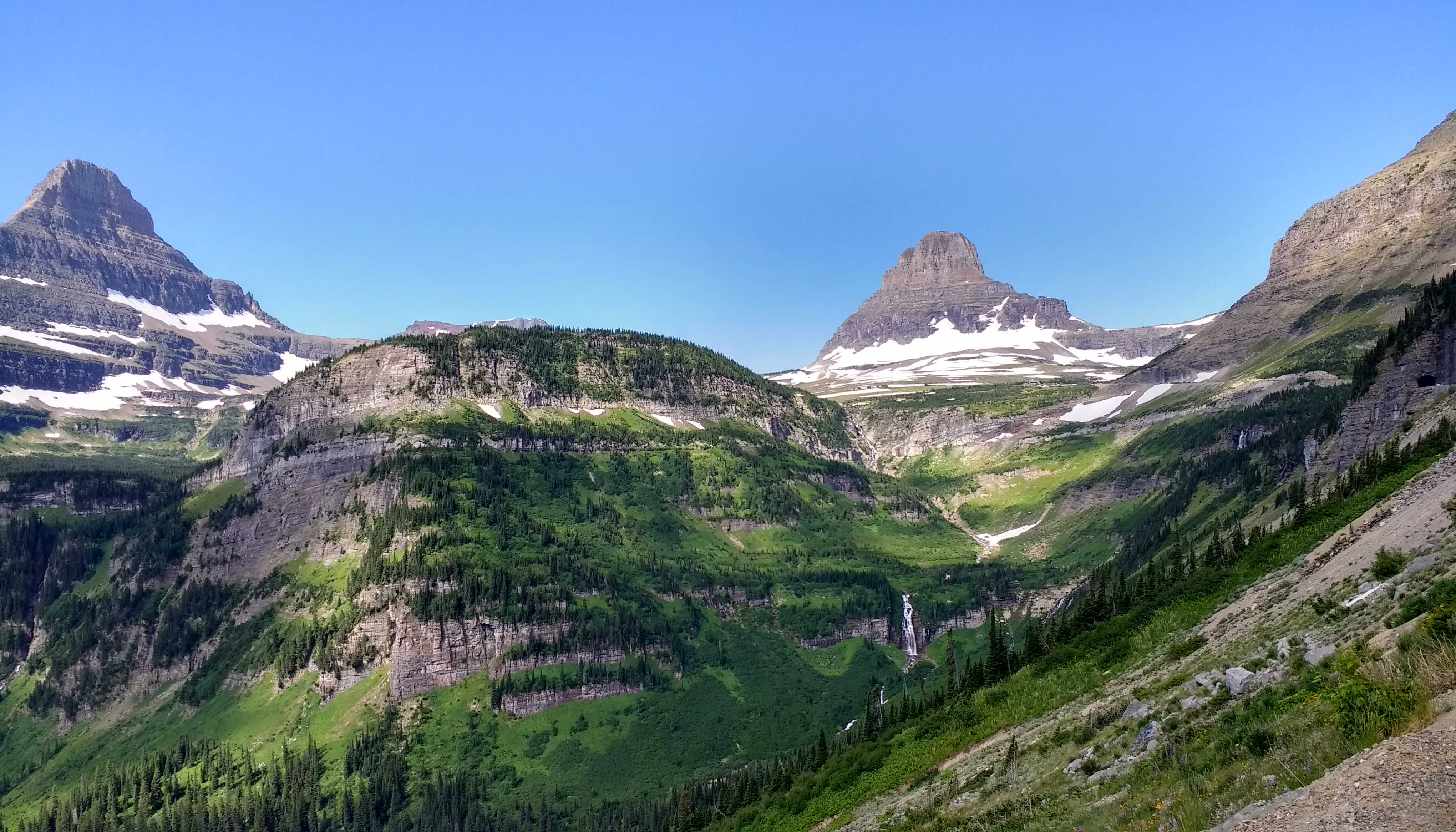
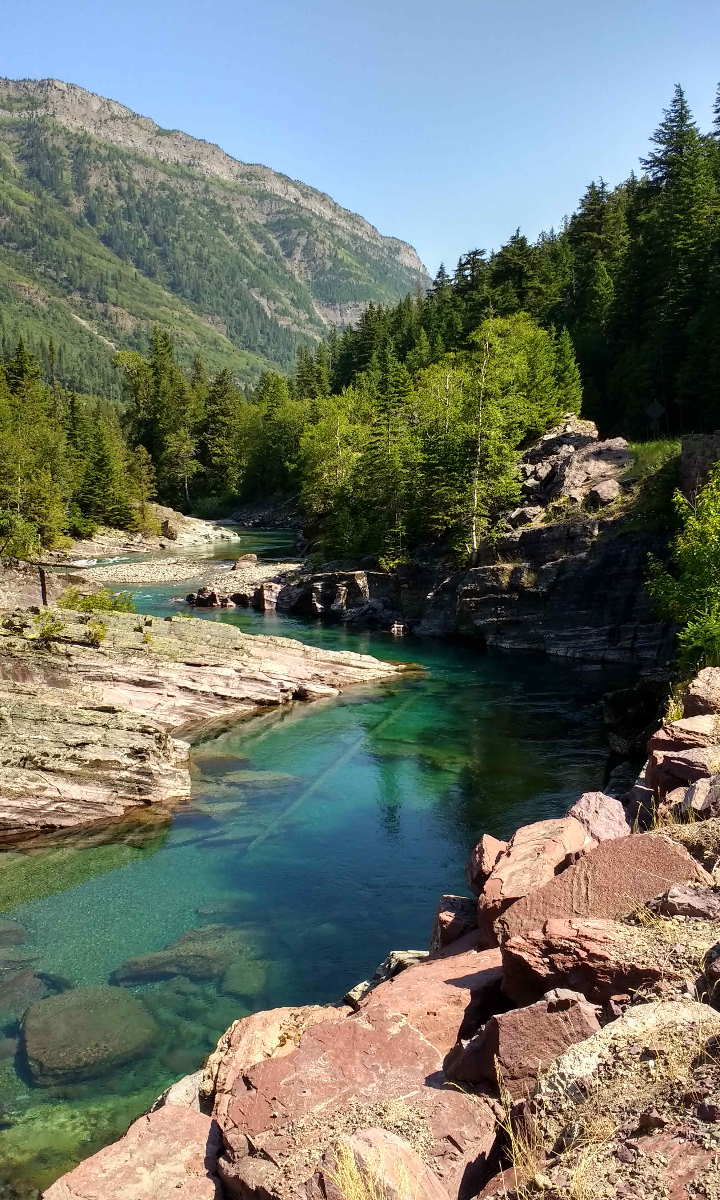
After dropping down on the west side of Logan Pass we stopped along McDonald Creek to stretch our legs.
That night we stayed in a campground at the northeast corner of Flathead Lake. Flathead Lake is huge, and a great spot for power boats and sailboats, but not for the sort of quiet canoeing that we're interested in, so we'll probably skip this stop our next time around. The next morning we once again took a road less traveled. Rather than dropping down south to catch I-90, we took Highway 200 west, down the valley of the Clark Fork, to Sandpoint, Idaho. We found more good, uncrowded road, this time featuring great views of the Bitterroots. In Thompson Falls we found a nice spot to paddle on the Clark Fork, as well as a nice spot for lunch.
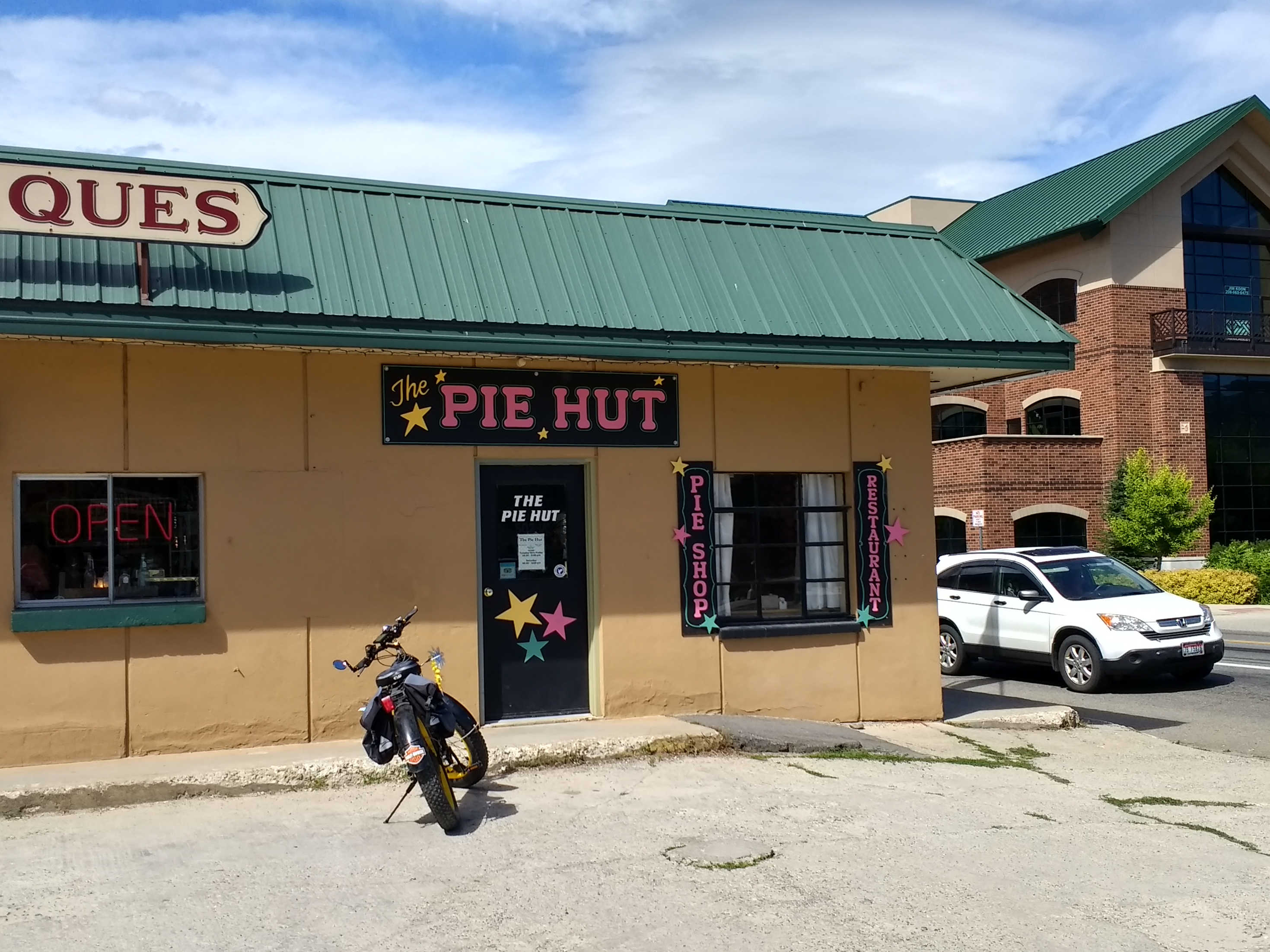
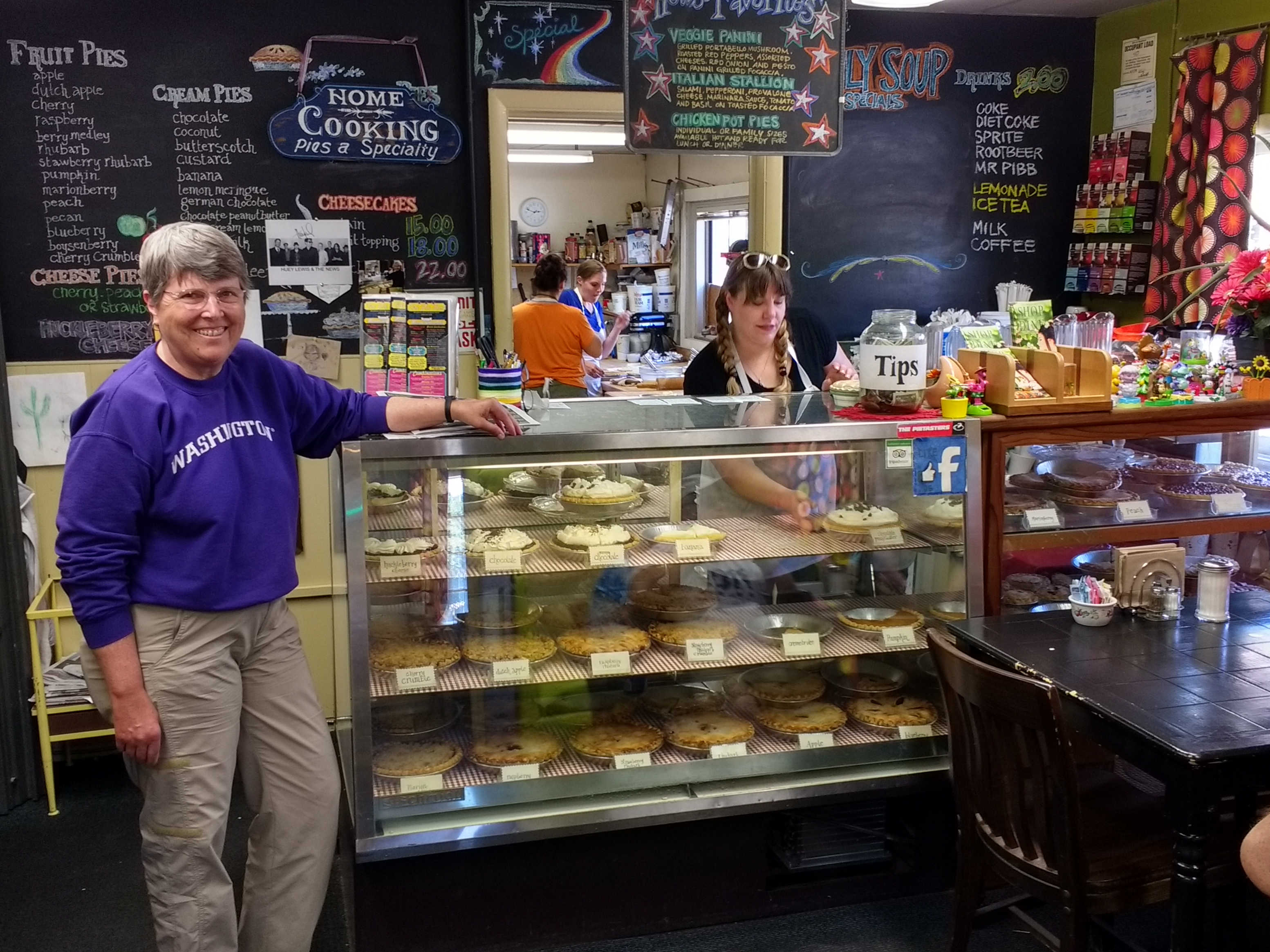
Then while driving through Sandpoint we stumbled upon The Pie Hut, a great place to get a slice of pie. They offer about a zillion pie options, including local favorite huckleberry, and they'll be glad to fix you a nice lunch or dinner too.
