Oregon 2015
by Mike Thompson, 7/19/2015
I did two back-to-back excursions in Oregon in early July of 2015. The first was three days of hiking and paddling in the Wallowas. The second was a three-day backpacking trip through the Three Sisters Wilderness on the Pacific Crest Trail, from McKenzie Pass to Devils Lake near Mt. Bachelor. I made the second tip with Mark "Flash" Schlesinger, a friend from our college days together at the University of Puget Sound.
The Wallowas are situated in the northeastern corner of Oregon, southeast of Pendelton, southwest of Hells Canyon and the Snake River, which forms the Oregon/Idaho/Washington border. The five highest peaks in Oregon are in the Cascade Mountains: Mt. Hood, Mt. Jefferson, and the Three Sisters. But after that on the list come a long string of peaks in the Wallowas that are all over 9,000 feet, including Sacagawea Peak (9,839 fet), Matterhorn (9,826 feet), Chief Joseph Mountain (9,617 feet), and Eagle Cap (9,595 feet). The Wallowas are known as the "Alps of Oregon" and charactarized by a glacier-carved mixture of granite, sedimentary, metamorphic, and volcanic rock, and a combination of Rocky Mountain and Cascade Mountain vegetation. The Wallowas are a high mountain range where you wouldn't expect one. They're also the home of the Nez Perce Indians, the burial place of Chief Joseph being just south of the town of Joseph, at the north end of Wallowa Lake.
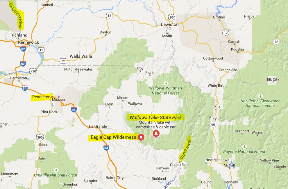
I stayed at the campground at the south end of Wallowa Lake while making two attempts (the second was successful) to get to the top of Chief Joseph Mountain. I also did a little paddling: near the mouth of the Wallowa River in my whitewater kayak, and on the lake in a beautiful, 18-foot cedar strip canoe built by a guy named Greg that I met in the town of Joseph.
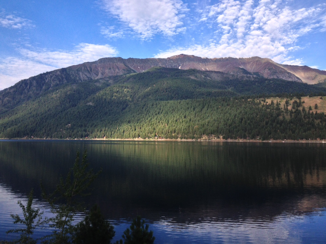
On the road between the town of Joseph and the campground at the at the south end of Wallow Lake, looking to the west at Chief Joseph Mountain.
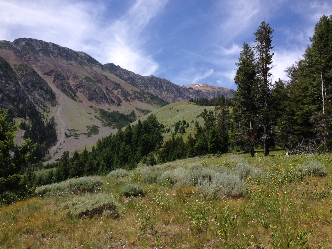
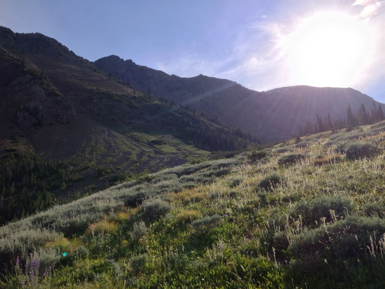
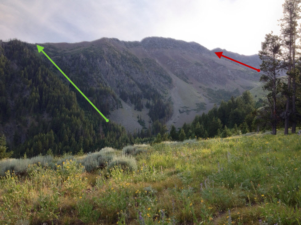
This shows the two routes that I tried to get to the east/west summit ridge leading to the top of Chief Joseph Mountain. The route marked with the red arrow, up a rib from where the trail ends, leads you to a cliff band that I found to be unclimbable without a rope. The green arrow, up the "green gully", reaches the summit ridge to the east of the cliff band, and is the route I used successfully on my second attempt. You need to be looking for this gully, as there's no beaten path to it. If you continue up the trail through the sage/grass/wildflower meadows, you'll end up too far to the west to be able to reach the summit ridge. Instead you must traverse southwest, losing a litle elevation while making your way to the bottom of the gully.
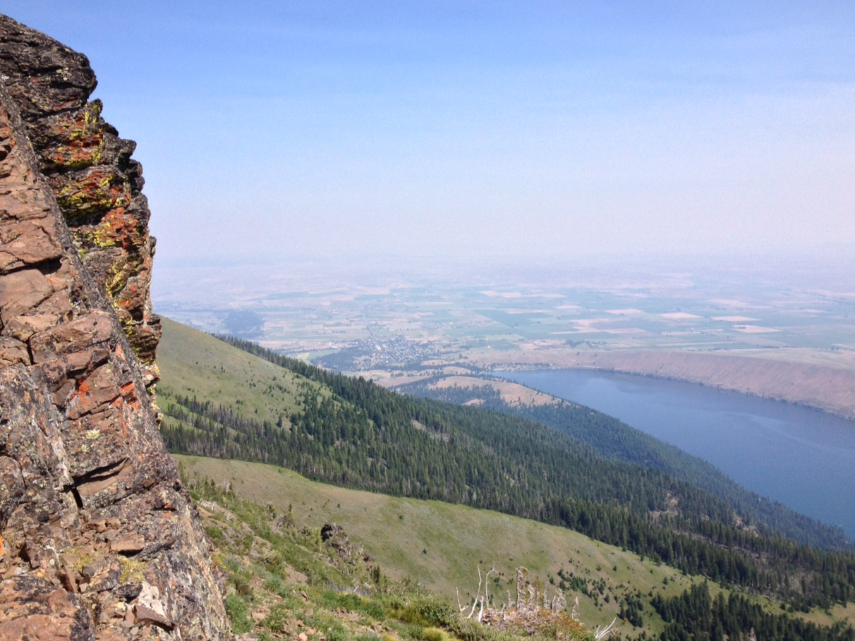
Looking northeast, toward Wallowa Lake and the town of Joseph, upon reaching the summit ridge at the top of the "green gully."
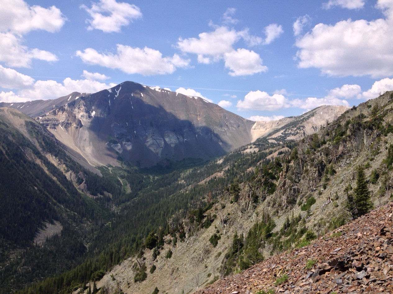
Looking southwest from the same spot, toward the Hurwal Divide, with Chief Joseph Mountain just out of sight in the upper right-hand corner of the picture.
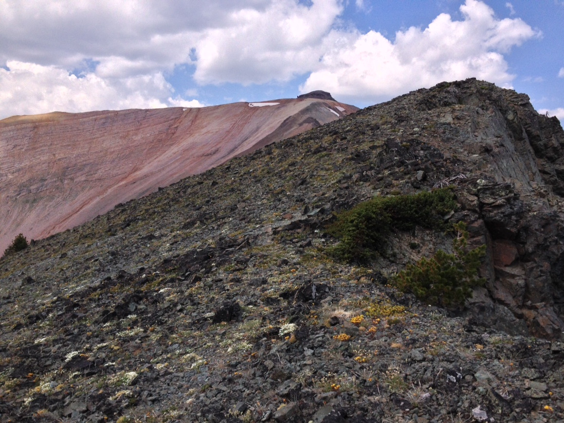
Looking west, along the summit ridge, toward the top of Chief Joseph Mountain.
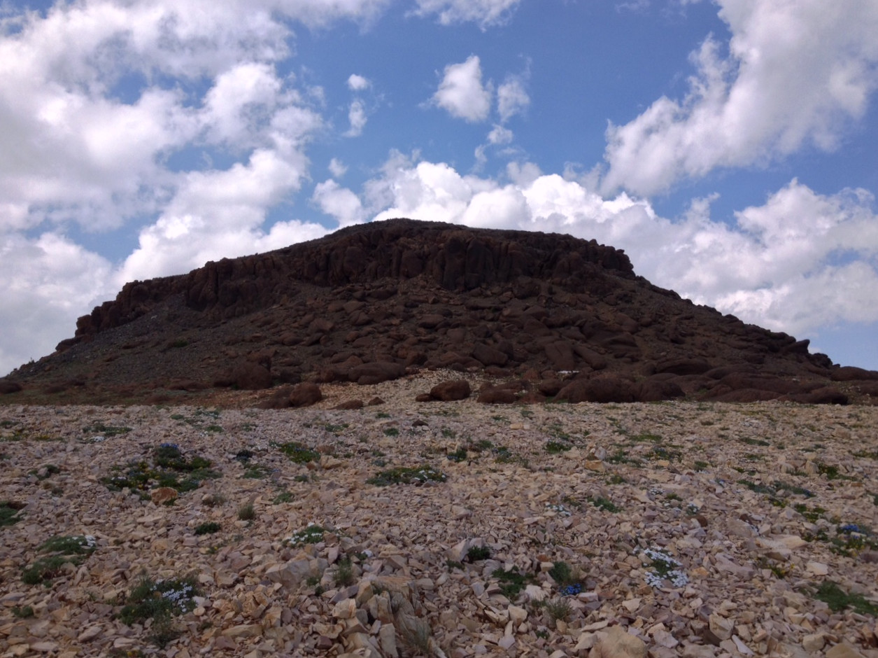
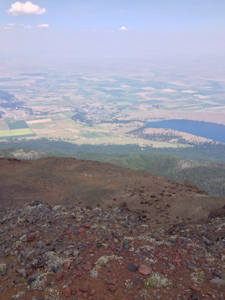
Looking northeast from the top of Chief Joseph Mountain, toward Wallowa Lake and the town of Joseph below. Note the three mountain goats just below the summit.
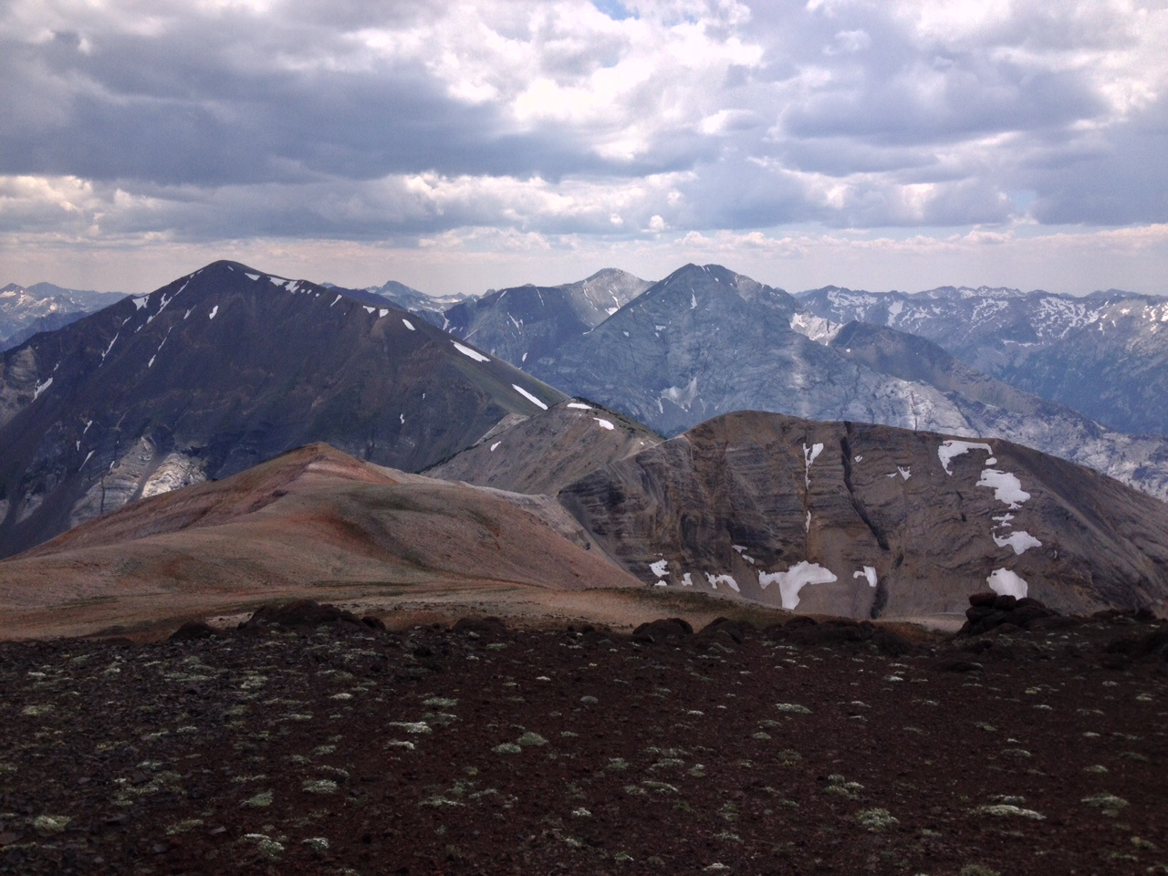
Looking southwest from the top of Chief Joseph Mountain, along the Hurwal Divide. In the middle of the picture is Sacajawea, with Matterhorn just behind it and to its left.
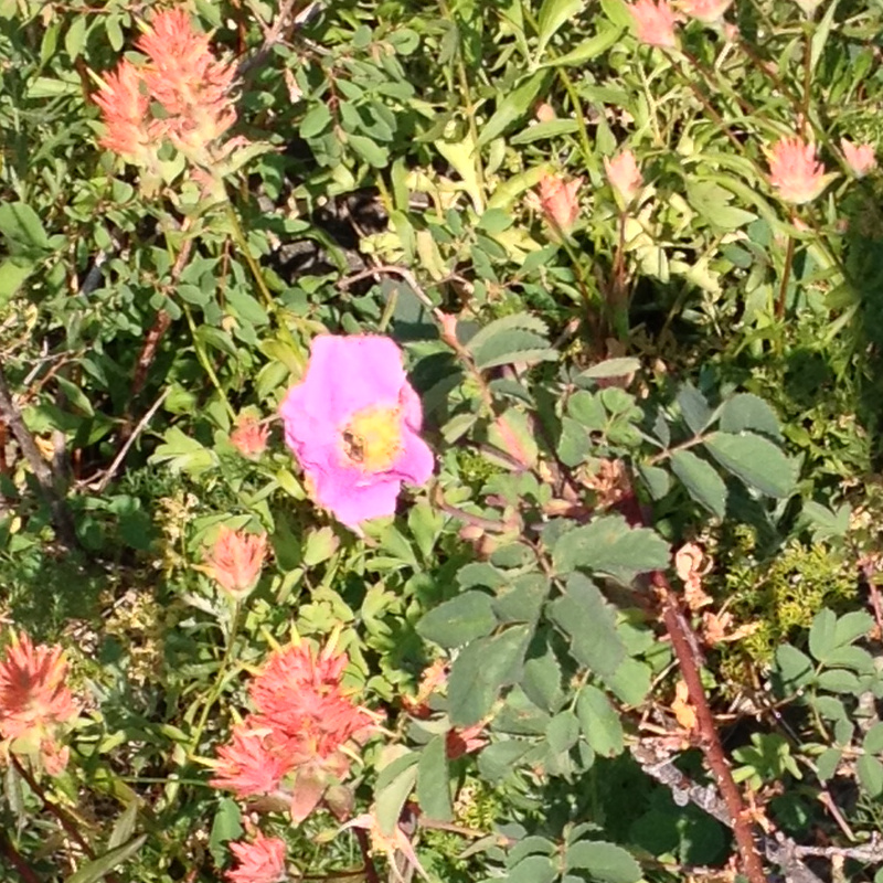
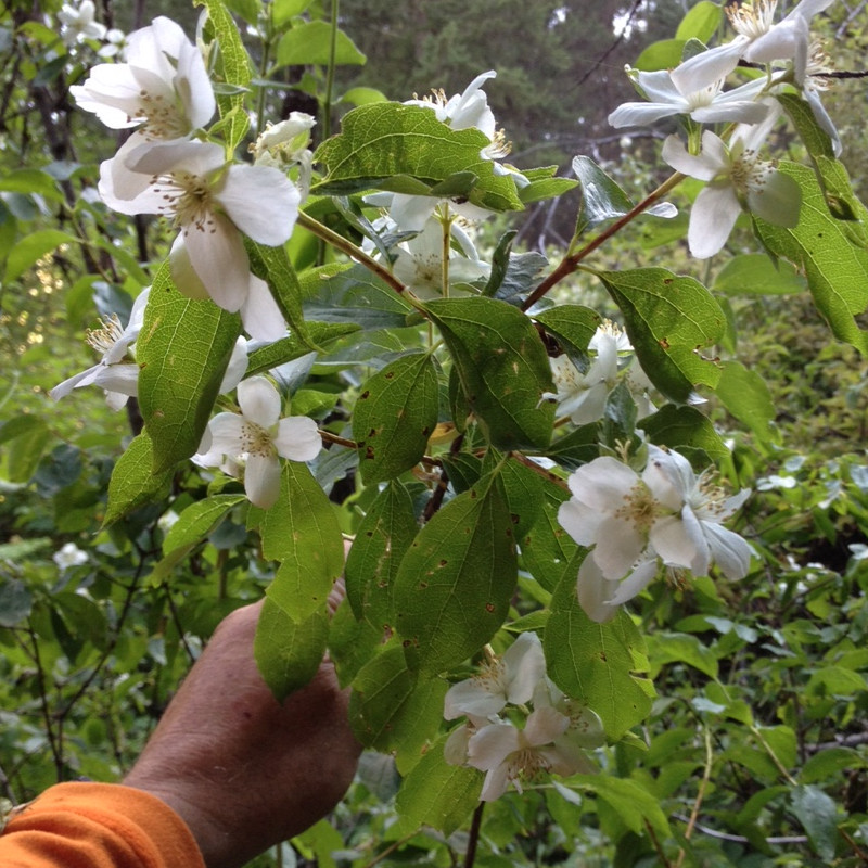
There were lots of wildflowers in bloom. I found Indian Paintbrush in every shade: yellow, orange, red, coral, and fuscia. There was a bush, growing up to twelve feet high in places, with a white, four-petaled flower, that grew at lower elevations and filled the forest with a sweet fragrance where it was in abundance.
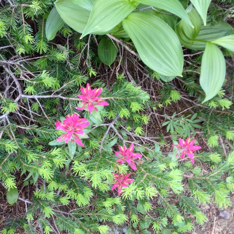
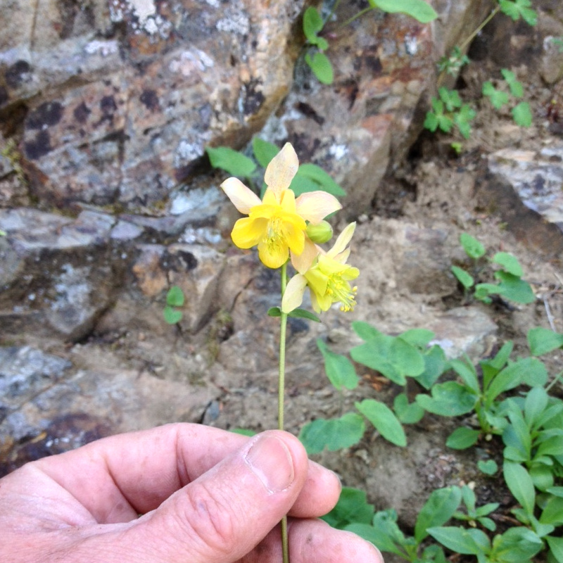
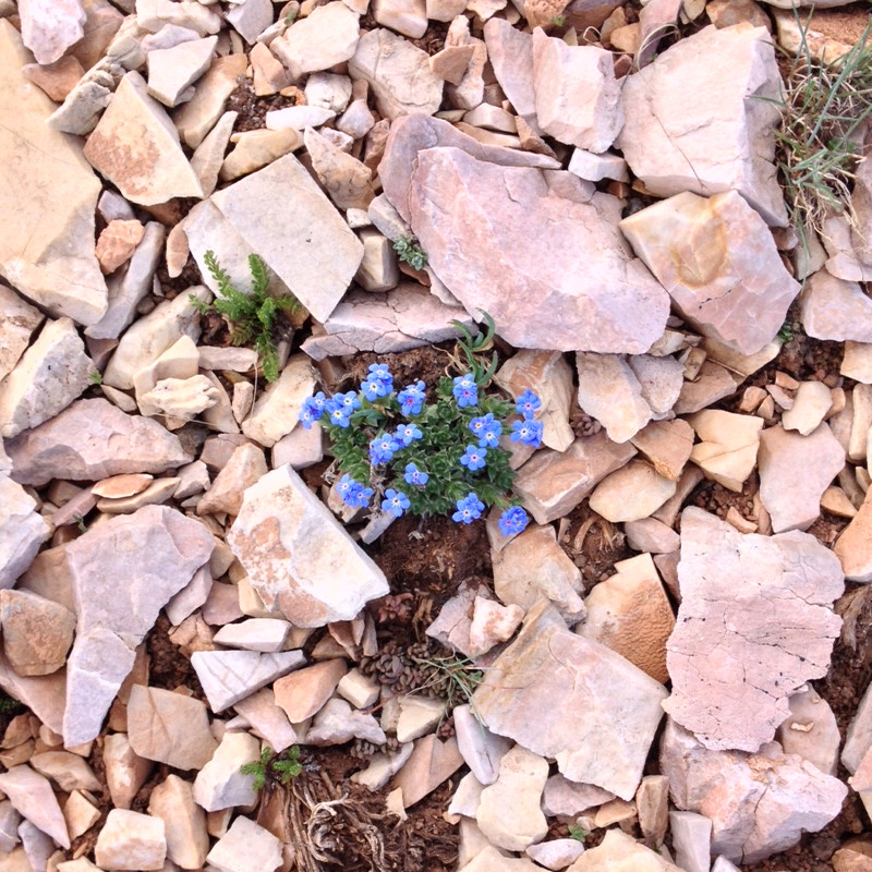
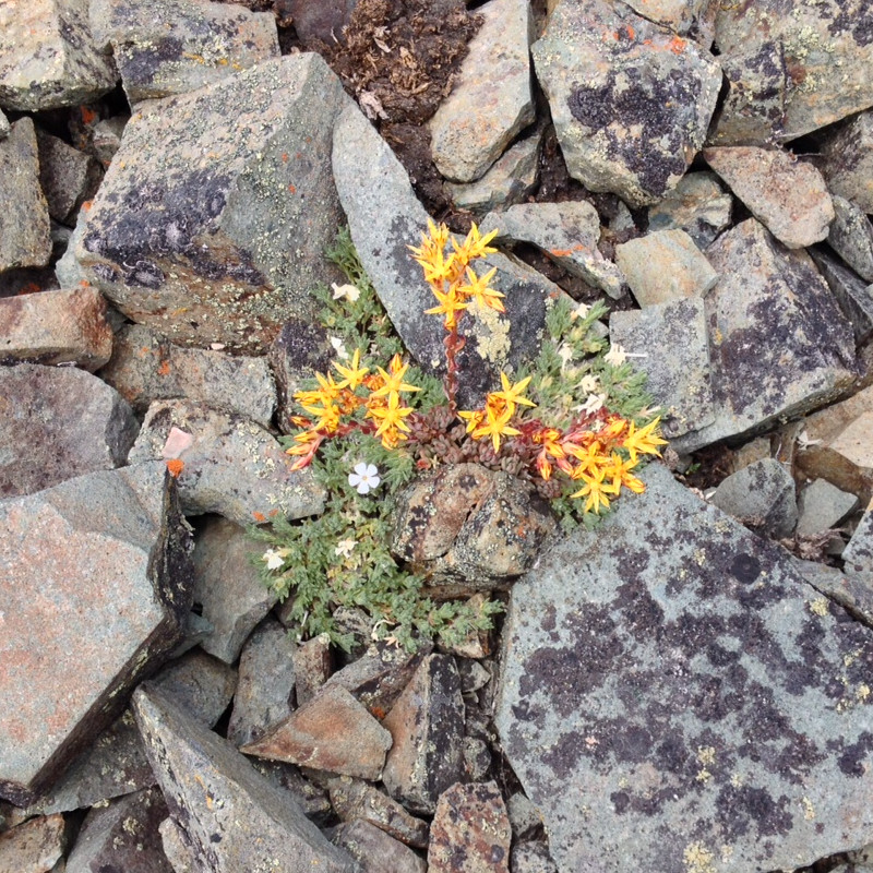
The trip through the Three Sisters Wilderness on the Pacific Crest Trail was really pretty, especially the northern section and the area known as Obsidian Basin. The weather was somewhat cloudy, the downside being limited views of the Three Sisters, the upside being cooler hiking and some beautiful and dramatic lighting. We heard quite a bit of thunder the afternoon of the first day, but only experienced two brief rain showers during the trip. We had glimpses of the summit of the North Sister on the first day, never saw the summit of the Middle Sister, then had clear views of the South Sister on day #3. All in all, I think the less-than-perfect weather made the trip more interesting.
I went with Mark "Flash" Schlesinger, a friend from our college days together at the University of Puget Sound. In the spring of 1974 Mark, a guy named Hall Grimes, and I did a day hike on Mt. Rainier, from the ranger station at Paradise up to Camp Muir. That was about the last time I saw Mark. I went off to finish college at the University of Oregon, Mark graduated from UPS and headed to SoCal to become a professional photographer, we each found work, got married, raised kids...forty years can just fly right by when you're having a life. Mark and I reconnected in the summer of 2014, decided it might not be too soon to take another hike together, and thought this section of the PCT would be a good place to do it.
We started at McKenzie Pass, which is about 15 miles southwest of the town of Sisters, at an elevation of 5,300 feet. From there we followed the Pacific Crest Trail to the south, along the west flank of the Three Sisters. Our first day we hiked over Opie Dilldock Pass at 7,000 feet, spending the night near Glacier Creek, just northwest of the North Sister. On the second day we continued south through Obsidian Basin, spending that night at Mesa Creek, just west of the South Sister. On the third day we hiked out to Devils Lake, about eight miles west of Mt. Bachelor, where we had parked our second car for the shuttle. We were between 5,000 and 7,000 feet the whole way, which made for lots of very pretty sub-alpine scenery, including meadows with lots of wildflowers.
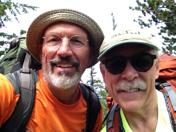
Mike and Mark at the trailhead at McKenzie Pass.
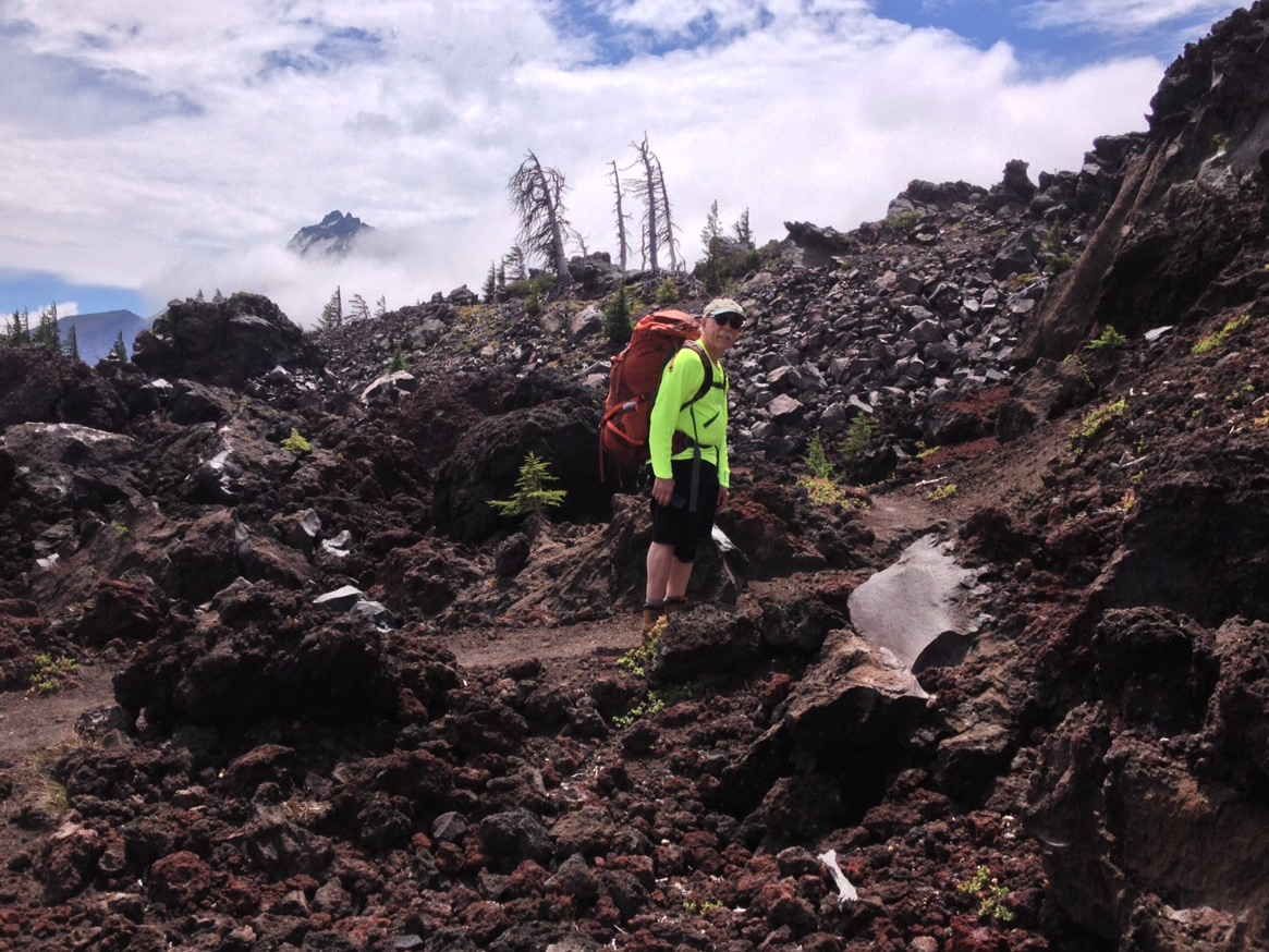
Heading up the trail, with the summit of the North Sister peeking through the clouds.
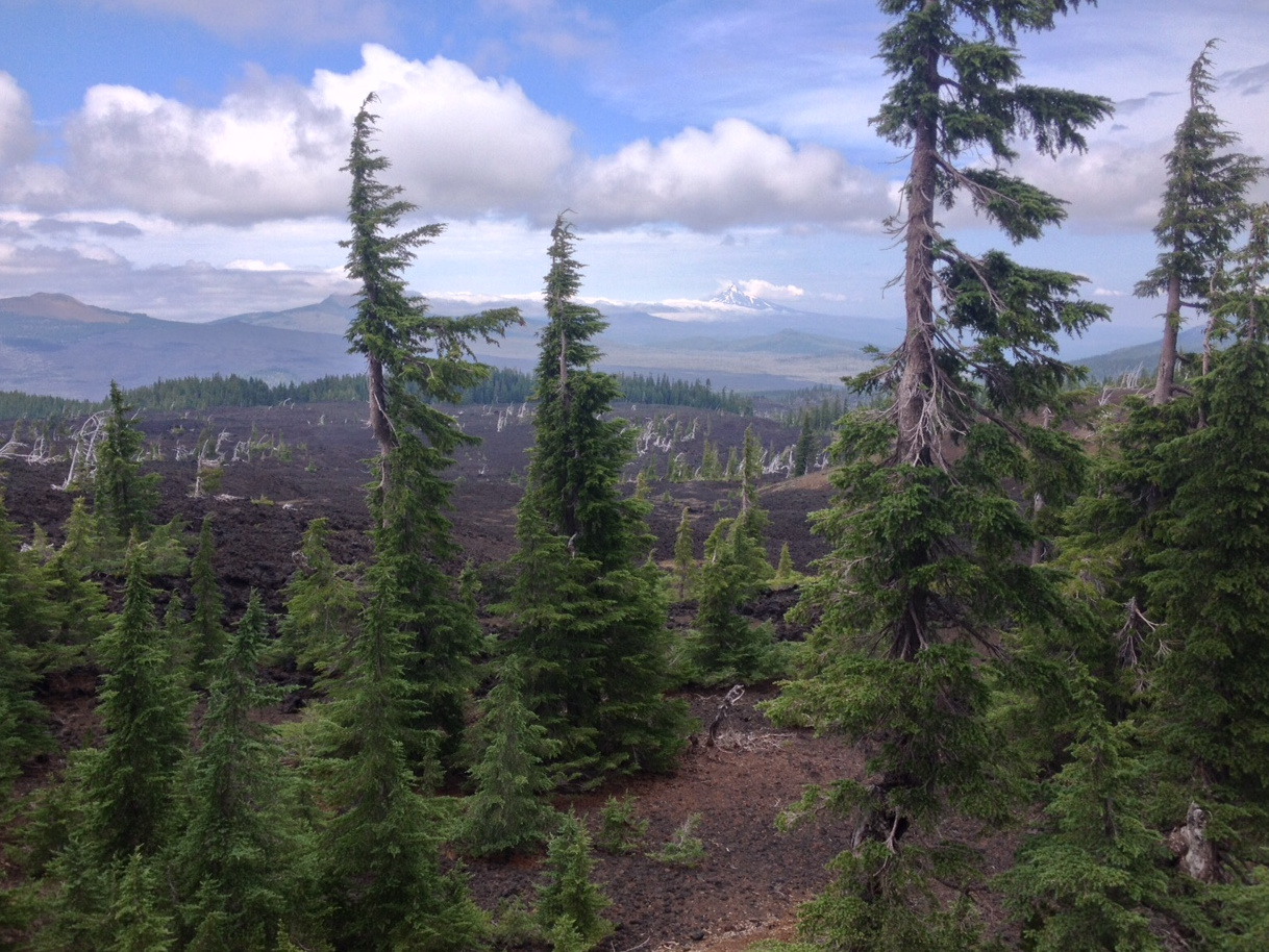
Looking north across the lava flows toward McKenzie Pass, with Mt. Jefferson in the distance.
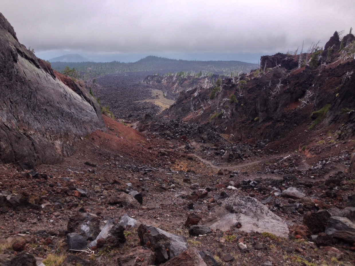
There was lots of wild-looking scenery on day one, thanks to many geologically-recent lava flows.
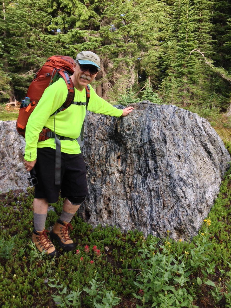
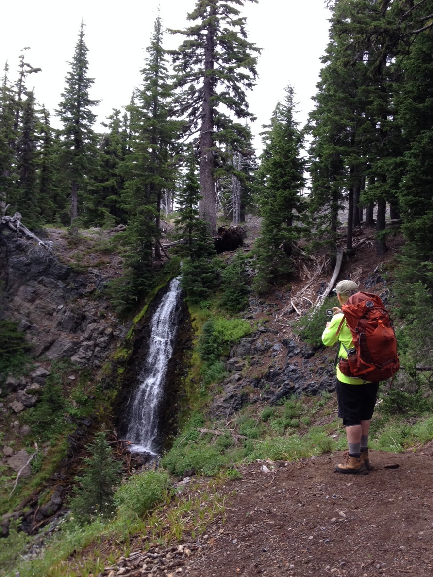
Obsidian Basin featured big boulders with veins of obsidian running through them. At one point the trail consisted of gravel that was, in fact, small pieces of black, translucent obsidian. There was a nice waterfall there too!
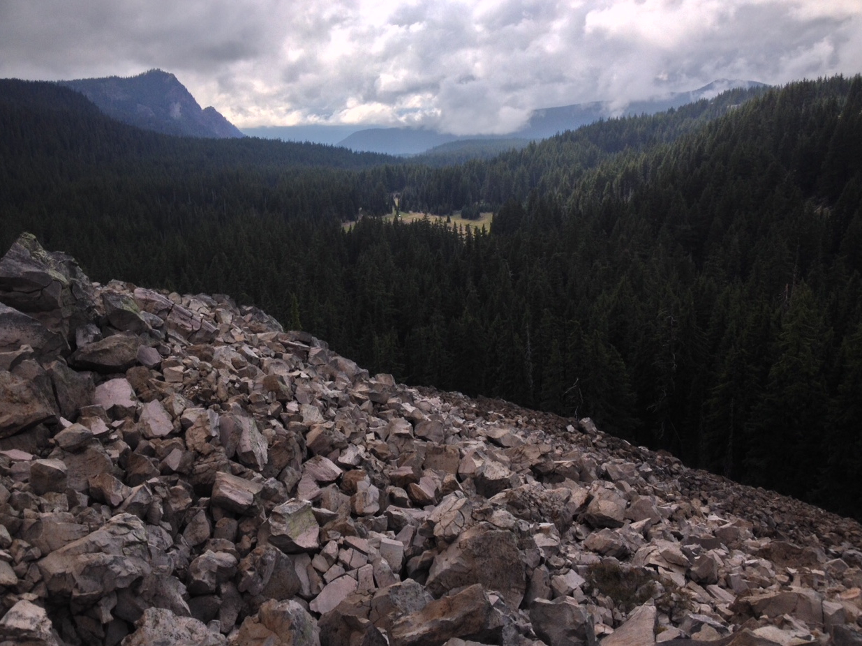
Looking west toward the meadow where we spent our second night, west of Middle Sister.
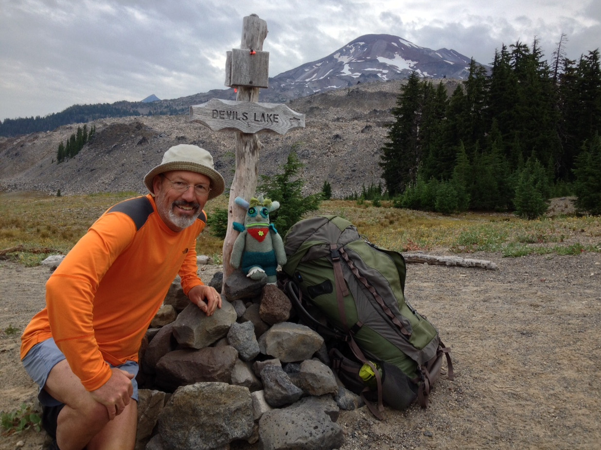
Nearing the end of the trip, with South Sister in the background. Next to me is Conner, a space alien that Jane and I found in La Conner, Washington and adopted. Conner accompanied Mark and I on the trip, spending most of his time in a pocket in the rear of my backpack.
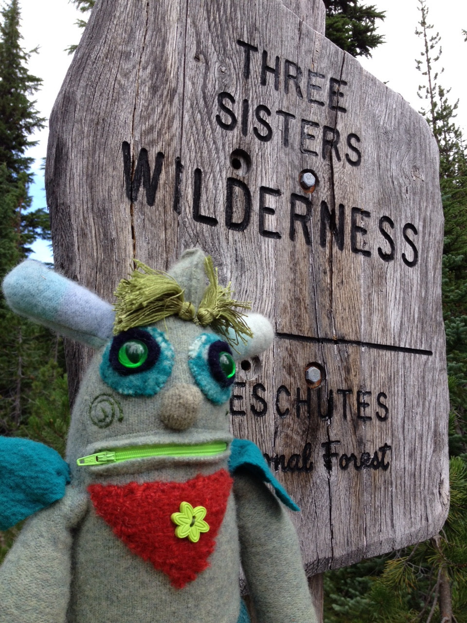
Conner grabbed a selfie as we left the Three Sisters Wilderness.