Mt. St. Helens 2015
by Mike Thompson, 4/25/2015
It has been "The Winter that Wasn't" this year in the Pacific Northwest, with little snowfall and unseasonably-nice weather. The last week of February brought a little snow above 5,000 feet, but the weekend of February 28th/March 1st was forecast to have clear, blue skies. Nephew Billy Goodman and I decided to take advantage of the situation and go climb Mt. St. Helens on Sunday.
One motivator was that, if you do the climb in the summer months, you must first make a reservation, as only so many climbers are allowed to be on the mountain each day. As you might imagine, those reservations get snapped up pretty quickly. And there's always the chance that the mountain will be covered in clouds when your day arrives. So this perfect late-winter weekend seemed like too good a chance to pass up.
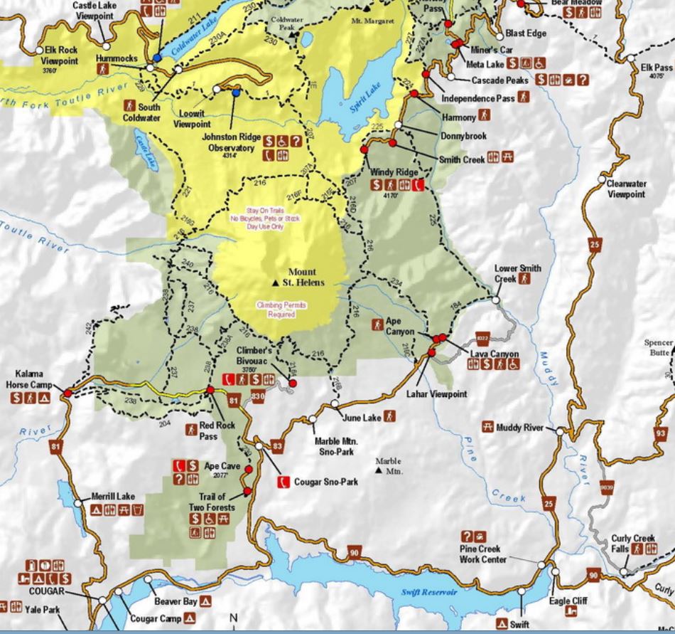
Doing the whole thing in one shot makes for a long day. Billy and I drove out of Seattle at 4:30 AM. We grabbed coffee and sandwitches for lunch on our way down I5, then turned east just south of Kalama and drove toward Cougar on Highway 503. This time of year the road to Climber's Bivouac is closed, so instead we left the car at the Marble Mountain Snow Park, getting on the trail just after 9:00 AM. Yes, it's a solid four hours of driving from Seattle to the trailhead on the south side of the mountain.
The first stretch of trail was through an area that's usually groomed for cross-country skiing, but there wasn't a speck of snow in sight. It felt strange to be above 3,000 feet this time of year and see no snow. If it had been ten degrees warmer I would have believed that it was June or July. At about two miles in we reached the intersection of Trail 216, got our first good look at the summit, and entered an area known as Worm Flows. Worm Flows was was created during the 1980 eruption when the glacier on the south side of the mountain melted, creating a huge surge of water mixed with loose rock debris that roared down the mountain and came to rest at the 4,000 to 6,000 foot level.
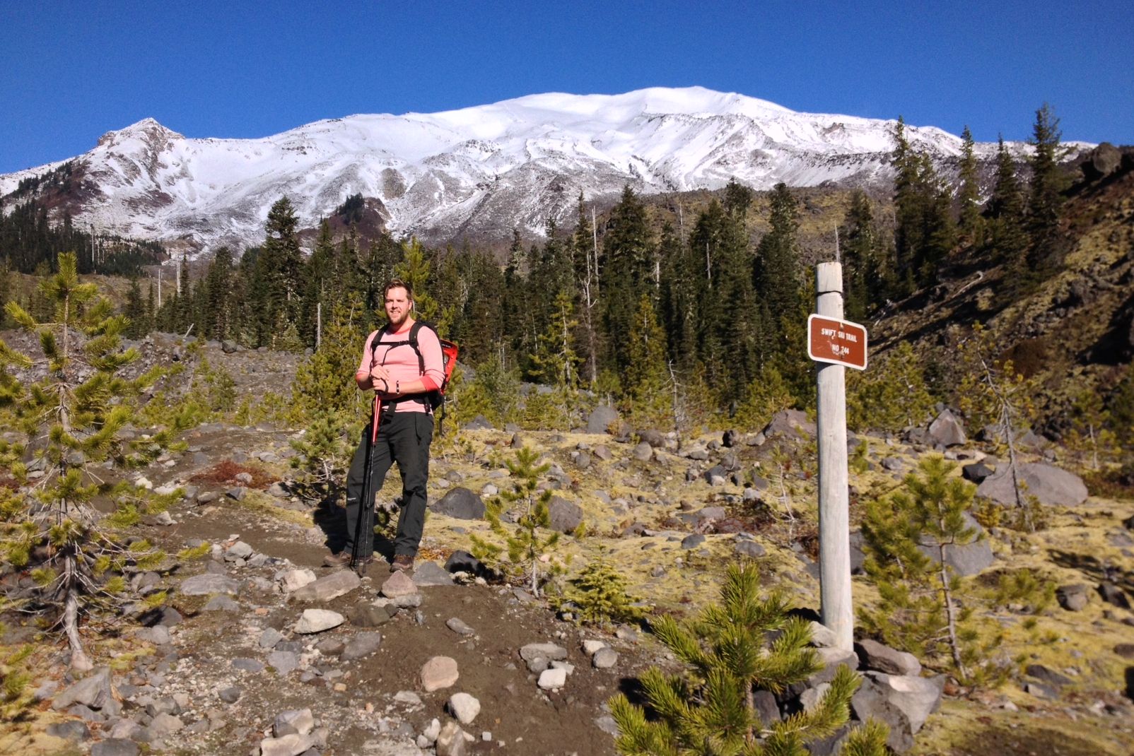
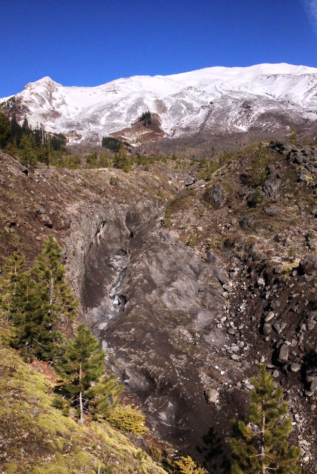
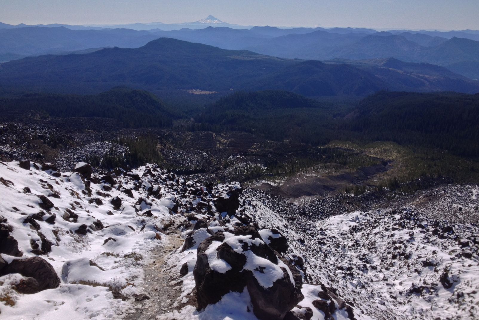
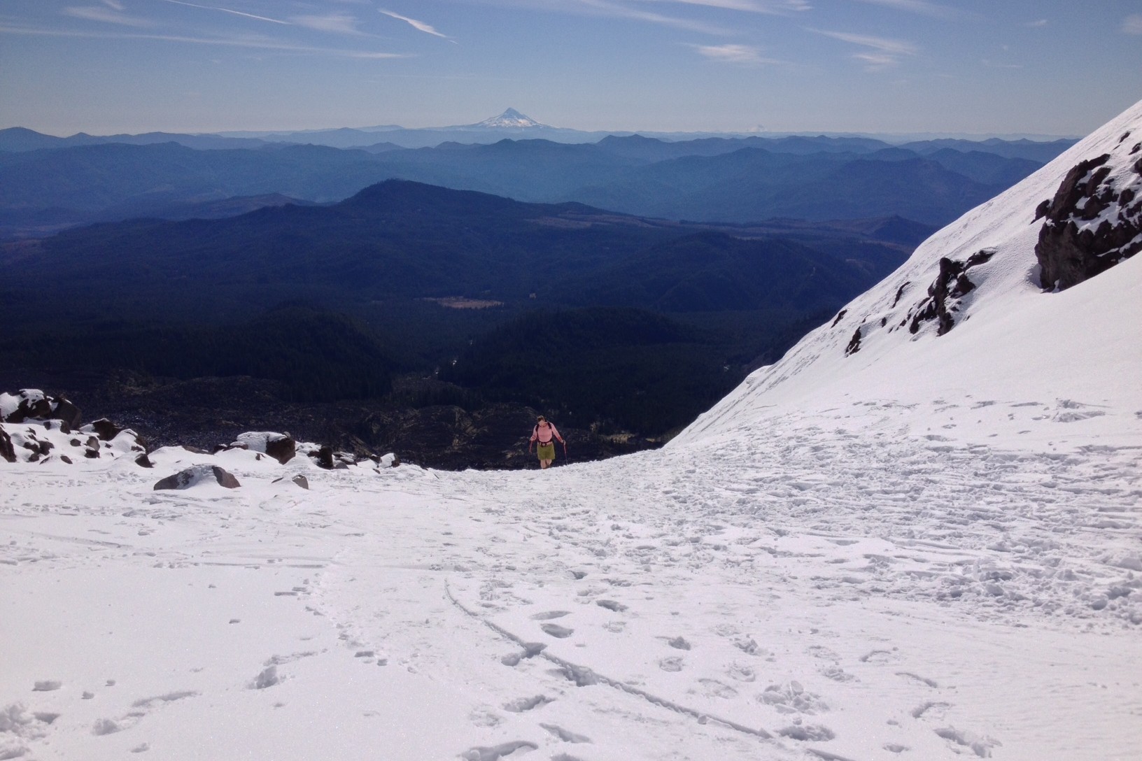
At around 6,000 feet we emerged from Worm Flows onto the Swift Glacier, a post-eruption snow field. The picture below is of Billy coming over the crest of a steep section of trail and onto the snow, with Mt. Hood in the background.
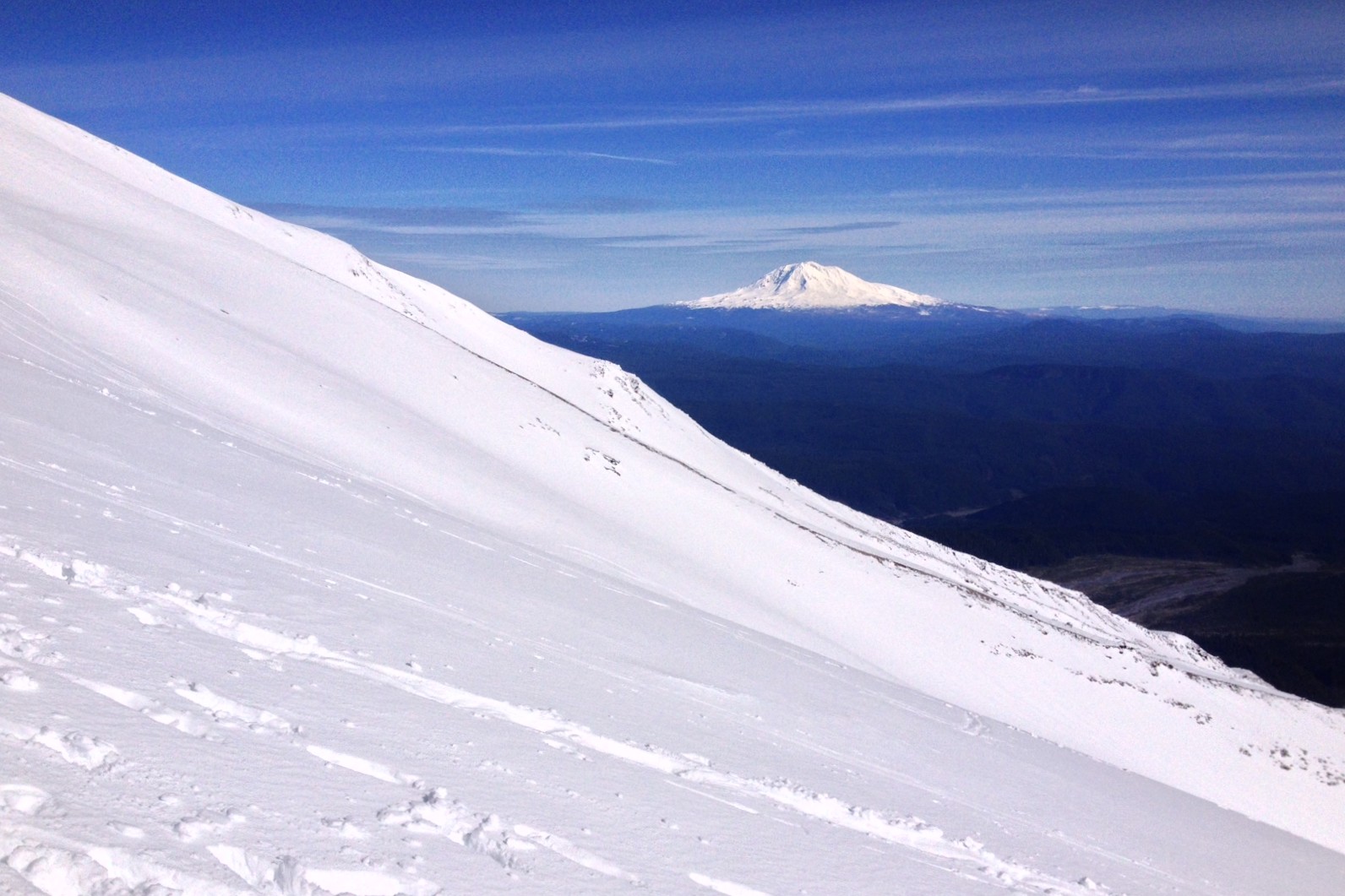
The picture below was taken a bit farther along the way, looking east toward Mt. Adams.
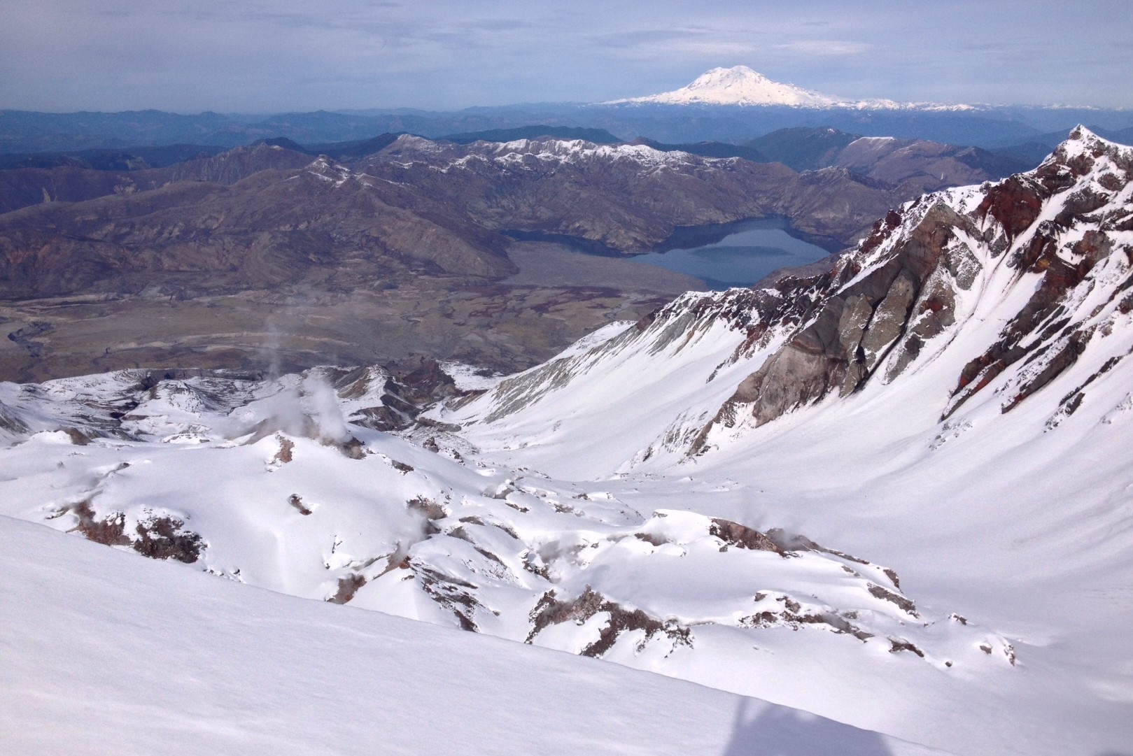
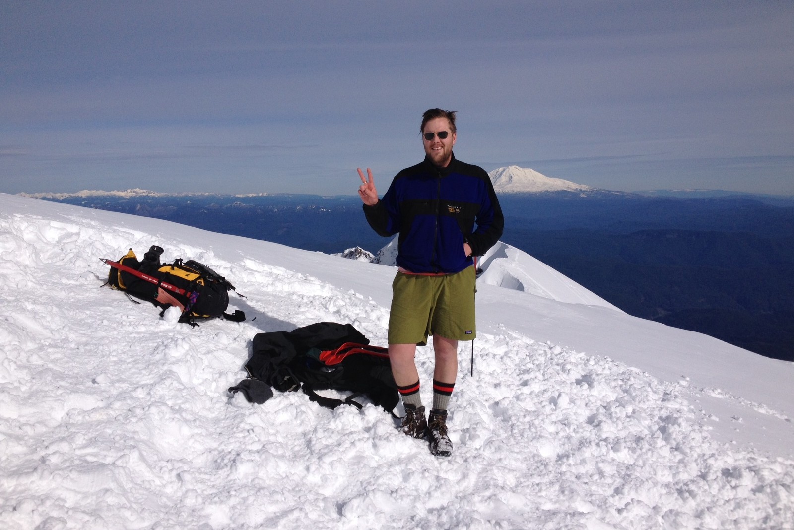
Finally, here we are at the south crater rim, at about 8,300 feet. At the bottom of the picture you can see a bit of the south rim and of my shadow. Above that you see the lava dome that has risen from the crater floor, with some steam visible rising from it. Beyond the lava dome is Spirit Lake, with Mt. Rainier in the distance. Quite spectacular on such a clear day!
We got back to the car at Marble Mountains Snow Park just after 5:00 PM, so the round trip time for the hiking was about eight hours. The northbound traffic on I5 coming out of Portland wasn't bad at all, and we got back to Seattle around 10:00 PM.